We use cookies for your personalized browsing experience, to personalize content and ads, to provide social media features, and to analyze traffic to our website. We also share information about your use of our website with our social media, advertising and analytics partners. Our partners may combine this information with other data that you have provided to them or that they have collected as part of your use of the Services. (incl. US providers)
Start Point

Seefeld information office

End Point

Seefeld information office

Difficulty

Easy

Total Distance

3,20 km

Descent Meters

23 m

Ascent Meters

23 m

Highest Point

1203 m

Total Time

01:00 h

Map & Elevation Profile

Start Point

Seefeld information office

End Point

Seefeld information office

Difficulty

Easy

Total Distance

3,20 km

Descent Meters

23 m

Ascent Meters

23 m

Highest Point

1203 m

Total Time

01:00 h

Hiking

Best Time

Jan

Feb

Mar

Apr

May

Jun

Jul

Aug

Sep

Oct

Nov

Dec

Hiking tour

Thematic route

+4

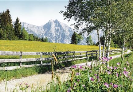
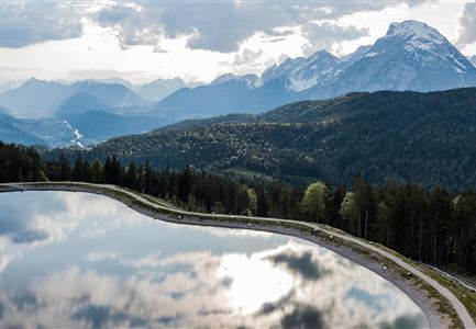
Route: Seefeld Information Office - Parish hill - Lake Wildsee - Seefeld Information Office

Parking and public transport:

P2 "Strandbad P1 & P2 parking lot".

By train to Seefeld train station.

You can find all connections in real time with the Mobility-App "wegfinder".

Directions:

This walk takes about an hour and starts at the information office in Seefeld at the train station. Cross the pedestrian zone to the parish church of St. Oswald (a visit to the late Gothic church is worthwhile!) and left past the church up to the parish hill, a very special attraction for young and old. Here you will find the Seefeld Way of the Cross, built in 2000, with 14 stations. With the help of boulders weighing up to 23 tons, which are placed in a certain constellation of stars, the Last Supper is depicted here. According to an idea of the writer Winfried Werner Linde, this strong place at the highest point of the parish hill should represent a peaceful meeting point for people of all world religions. Information boards directly at the Pfarrhügel give detailed information.

Especially for children the Pfarrhügel is an experience - so

Read More...

Features & Characteristics

Start Point

Seefeld information office

End Point

Seefeld information office

Family hike

Yes

Loop tour

Yes

Similar Tour Suggestions

Ahrn Hochfluder Weidach.jpg

Hiking

Hike Hoher Sattel

Length

10,60 km

Duration

04:00 h

Uphill

524 hm

Altitude

1620 hm

Difficulty

Medium

Speicherteich Gschwandtkopf

Hiking

Hike on the Gschwandtkopf mountain

Length

11,60 km

Duration

03:30 h

Uphill

297 hm

Altitude

1485 hm

Difficulty

Medium

Kurblhang

Hiking

Circular hike from Seefeld to Gießenbach & Leutasch

Length

21,50 km

Duration

06:30 h

Uphill

773 hm

Downhill

815 hm

Altitude

1616 hm

Difficulty

Medium

Closed
Blick auf Gschwandtkopf Seefeld

Hiking

Round the Gschwandtkopf Hill (Circular Walk)

Length

10,30 km

Duration

02:30 h

Uphill

264 hm

Altitude

1352 hm

Difficulty

Easy

Kaltwassersee auf der Rosshütte über Seefeld

Hiking

Circular hiking traill to the Rosshütte alpine hut - Hochegg Alm alpine hut

Length

8,30 km

Duration

03:45 h

Uphill

515 hm

Altitude

1740 hm

Difficulty

Medium

Grosse Arnspitze Blick ins Karwendel - Scharnitz

Hiking

Hike to the Große Arnspitze Summit, 2,196 m

Length

9,00 km

Duration

07:30 h

Uphill

1214 hm

Altitude

2196 hm

Difficulty

Hard

Falkenhütte neu

Hiking

Karwendelmarsch 52 km

Length

52,00 km

Duration

19:00 h

Uphill

2281 hm

Downhill

2217 hm

Altitude

1903 hm

Difficulty

Hard

Wildmoosalm im Sommer

Hiking

Hike Schlagweg-Rauthgatter-Wildmoos

Length

11,50 km

Duration

03:30 h

Uphill

220 hm

Altitude

1345 hm

Difficulty

Easy