We use cookies for your personalized browsing experience, to personalize content and ads, to provide social media features, and to analyze traffic to our website. We also share information about your use of our website with our social media, advertising and analytics partners. Our partners may combine this information with other data that you have provided to them or that they have collected as part of your use of the Services. (incl. US providers)
Start Point

Seefeld hotel Seespitz-Zeit

End Point

Seefeld hotel Seespitz-Zeit

Difficulty

Easy

Total Distance

2,50 km

Descent Meters

3 m

Ascent Meters

3 m

Highest Point

1180 m

Total Time

00:30 h

Map & Elevation Profile

Start Point

Seefeld hotel Seespitz-Zeit

End Point

Seefeld hotel Seespitz-Zeit

Difficulty

Easy

Total Distance

2,50 km

Descent Meters

3 m

Ascent Meters

3 m

Highest Point

1180 m

Total Time

00:30 h

Hiking

Best Time

Jan

Feb

Mar

Apr

May

Jun

Jul

Aug

Sep

Oct

Nov

Dec

Hiking tour

Thematic route

+5

Route: Wildsee - Reither Moor - Wildsee

Parking and public transport:

P2 "Strandbad P1 & P2 parking lot".

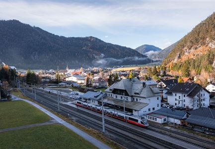
By train to Seefeld train station (10 minutes walk to the starting point).

You can find all connections in real time with the Mobility-App "wegfinder".

Directions:

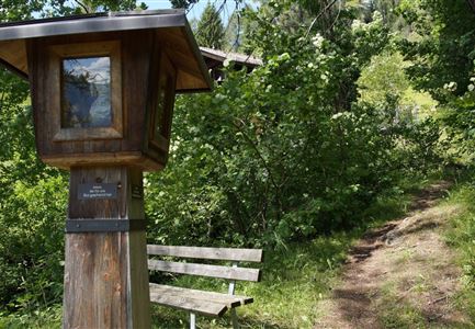
This trail runs around Seefelder Wildsee and presents hikers with all kinds of interesting facts about the development of this unique landscape. The starting point of the theme trail is south of the Hotel Seespitz**** Superior. From there, hike south to the Reither Moor. Follow the circular trail, which eventually leads you back to the starting point.

On 11 boards you will get information about different topics (lake, moor, flora, fauna and history).

On hot summer days, the freely accessible Kneipp facility also offers pleasant refreshment.

KlimaTop - Making climate change visible:

Climate change is already evident in many places in our local landscape. However, the consequences are often not visible at first glance. In order to make climate change visible to everyone, so-called KlimaTopes were developed in the course of the Interreg project "KlimaAlps". At these places, visitors can explore how our homeland has already changed and what could still change in the future due

Read More...

Features & Characteristics

Start Point

Seefeld hotel Seespitz-Zeit

End Point

Seefeld hotel Seespitz-Zeit

Family hike

Yes

Hike suitable for prams

Yes

Loop tour

Yes

Similar Tour Suggestions

Wettersteinhütte im Gaistal in Leutasch

Hiking

High Pasture alpine hut hike above the Gaistal Valley

Length

24,20 km

Duration

09:45 h

Uphill

1261 hm

Altitude

2132 hm

Difficulty

Medium

Drohnenaufnahme Bahnhof Scharnitz im Herbst bei Morgenlicht Zug am Bahnsteig.jpg

Hiking

Scharnitz cultural hiking trail

Length

3,00 km

Duration

01:00 h

Uphill

53 hm

Altitude

1005 hm

Difficulty

Easy

Gaistalalm im Herbst - Leutasch

Hiking

Hike to the Gaistalalm & Tillfussalm alpine hut

Length

9,70 km

Duration

03:00 h

Uphill

244 hm

Altitude

1404 hm

Difficulty

Easy

Luftaufnahme von der Rauthhuette - Leutasch

Hiking

Hike Hohe Munde Summit, 2.592 m

Length

11,30 km

Duration

09:00 h

Uphill

1410 hm

Altitude

2562 hm

Difficulty

Hard

Wegmarkierung

Hiking

Mountain tour crossing of the Arnspitzen

Length

11,50 km

Duration

08:30 h

Uphill

1353 hm

Altitude

2196 hm

Difficulty

Hard

Schausäge der Triendlsäge

Hiking

Circular walking path to the Inn Triendlsäge

Length

4,80 km

Duration

01:15 h

Uphill

101 hm

Altitude

1215 hm

Difficulty

Easy

Abstieg Noerdlinger zu Ursprungsattel - Karwendel Hoehenweg Etappe

Hiking

Circular hike via Eppzirler Alm and Nördlinger hut to Seefeld

Length

20,40 km

Duration

10:00 h

Uphill

1464 hm

Altitude

2231 hm

Difficulty

Hard

Partially open
Rosenkranzweg in Reith

Hiking

On the rosary walking trail to the Frau Häusl chapel

Length

1,20 km

Duration

01:15 h

Uphill

100 hm

Altitude

1220 hm

Difficulty

Easy