We use cookies for your personalized browsing experience, to personalize content and ads, to provide social media features, and to analyze traffic to our website. We also share information about your use of our website with our social media, advertising and analytics partners. Our partners may combine this information with other data that you have provided to them or that they have collected as part of your use of the Services. (incl. US providers)
Start Point

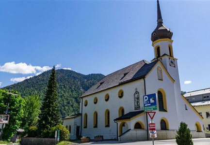
Scharnitz church

End Point

Scharnitz church

Difficulty

Hard

Total Distance

21,00 km

Descent Meters

507 m

Ascent Meters

504 m

Highest Point

1254 m

Map & Elevation Profile

Start Point

Scharnitz church

End Point

Scharnitz church

Difficulty

Hard

Total Distance

21,00 km

Descent Meters

507 m

Ascent Meters

504 m

Highest Point

1254 m

Running

Best Time

Jan

Feb

Mar

Apr

May

Jun

Jul

Aug

Sep

Oct

Nov

Dec

Running tracks

Profile: demanding and very hilly running route

Terrain: gravel trail, asphalted road, timber track

Route: Scharnitz church - Giessenbach - valley station Bergbahnen Rosshütte - Magic Castle - Giessenbach - Scharnitz church

Directions:

Leave Scharnitz towards the south. Along far ranging and flat timber tracks you walk through Gießenbach and traverse the main roade there. Walk along the tracks of the Karwendelbahn train, always ascending, up the Schlossberg to the Magic Castle. The roundabout route leads past Seefeld, descending slightly to the Bodenalm and back to the point of departure.

Refreshment stops:

Gasthof Ramona, Magic Castle Biergarten, Bodenalm

The indicated running time is a guideline and depends on personal fitness.

Features & Characteristics

Start Point

Scharnitz church

End Point

Scharnitz church

Similar Tour Suggestions

Lottensee Panorama - Seefeld

Running

3-lakes run

Length

9,40 km

Uphill

251 hm

Downhill

271 hm

Altitude

1370 hm

Difficulty

Medium

Laufen im Reither Moor

Running

Panorama track

Length

4,10 km

Uphill

140 hm

Downhill

122 hm

Altitude

1145 hm

Difficulty

Medium

Weidachsee

Running

Moosrunde track

Length

8,70 km

Uphill

104 hm

Downhill

100 hm

Altitude

1188 hm

Difficulty

Easy

Partially open
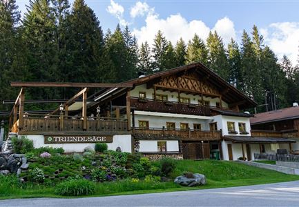
Gasthaus Triendlsäge

Running

Verbindungsstrecke Seefeld-Leutasch

Length

14,50 km

Uphill

338 hm

Downhill

250 hm

Altitude

1226 hm

Difficulty

Medium

hochleithenkopf.jpg

Running

Mühlberg track

Length

10,90 km

Uphill

388 hm

Downhill

377 hm

Altitude

1203 hm

Difficulty

Hard

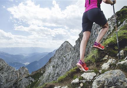
Berglauf Symbolbild

Running

Zugspitz Ultratrail

Length

68,80 km

Uphill

3120 hm

Downhill

4009 hm

Altitude

2044 hm

Difficulty

Hard

Kirche in Scharnitz

Running

Isarrun

Length

7,80 km

Uphill

78 hm

Downhill

48 hm

Altitude

979 hm

Difficulty

Easy

Joggen - Symbolbild

Running

Leutascher Half Marathon

Length

21,00 km

Uphill

310 hm

Downhill

315 hm

Altitude

1191 hm

Difficulty

Hard

Partially open