Tourismusverband Seefeld
We use cookies for your personalized browsing experience, to personalize content and ads, to provide social media features, and to analyze traffic to our website. We also share information about your use of our website with our social media, advertising and analytics partners. Our partners may combine this information with other data that you have provided to them or that they have collected as part of your use of the Services. (incl. US providers)
Running

Best Time

Jan

Feb

Mar

Apr

May

Jun

Jul

Aug

Sep

Oct

Nov

Dec

Similar Tour Suggestions

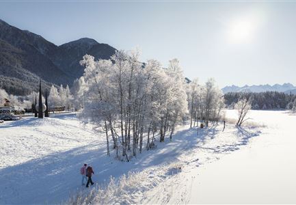
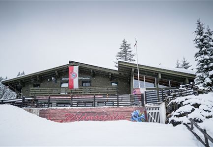
Wintertrailrunning in der Region Seefeld - Wildmoosalm.jpg

Running

Wintertrail - Seefeld through the Fludertal to the Wildmoosalm

Length

11,80 km

Uphill

260 hm

Altitude

1340 hm

Difficulty

Easy

Winterwandern im Schnee (1) (3).jpg

Hiking

W21: Winter circular hike Fludertal - Katzenkopf

Length

8,02 km

Duration

02:45 h

Uphill

261 hm

Altitude

1369 hm

Difficulty

Medium

Open
Winterwandern in der Region Seefeld_Drohnenaufnahme_Mann und Frau laufen entlang des Ufers des Wildsees (1).jpg

Hiking

W7: Winter circular hike Reith - Seefeld - Reith

Length

8,70 km

Duration

02:30 h

Uphill

118 hm

Downhill

121 hm

Altitude

1200 hm

Difficulty

Easy

Open
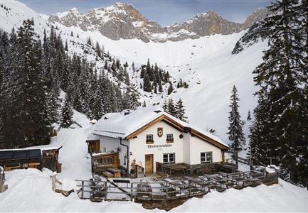
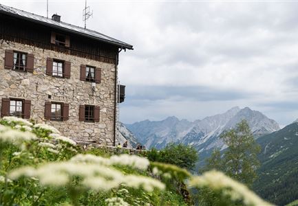
Drohnenaufnahme Wettersteinhütte - Nahaufnahme mit Blick ins Wettersteingebirge (1).jpg

Hiking

Stage 3: From Mösern to Wettersteinhütte – Tyrol’s 1. Winter Multi-day Hike

Length

14,00 km

Duration

06:00 h

Uphill

718 hm

Altitude

1719 hm

Difficulty

Medium

Open
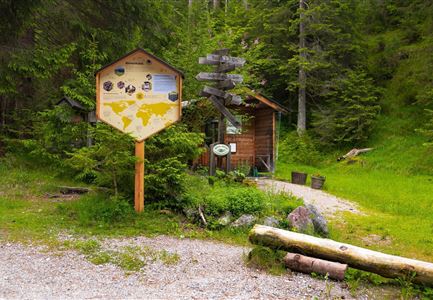
Bienenlehrpfad Reith - Infotafel am Bienenhotel (1).jpg

Hiking

Hike Bee Nature Trail

Length

2,50 km

Duration

01:00 h

Uphill

72 hm

Altitude

1185 hm

Difficulty

Easy

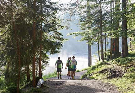
Nordic Summer Camp 2021 - Laeufer bei Laufrunde um den Moeserer See.jpg

Running

Trail Run Loop Möserer See

Length

9,20 km

Duration

02:00 h

Uphill

320 hm

Altitude

1500 hm

Difficulty

Easy

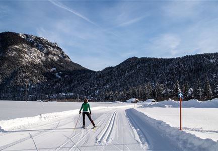
Loipe A7 Gasse mit Langlaeuferin.jpg

Cross-country Skiing

A7 - Gasse

Length

4,70 km

Uphill

37 hm

Altitude

1121 hm

Difficulty

Easy

Open
Durchs Karwendeltal aufs Karwendelhaus - Scharnitz

Hiking

Hike to the Karwendelhaus

Length

36,00 km

Duration

11:15 h

Uphill

839 hm

Altitude

1765 hm

Difficulty

Hard