We use cookies for your personalized browsing experience, to personalize content and ads, to provide social media features, and to analyze traffic to our website. We also share information about your use of our website with our social media, advertising and analytics partners. Our partners may combine this information with other data that you have provided to them or that they have collected as part of your use of the Services. (incl. US providers)
Start Point

Information office Reith

End Point

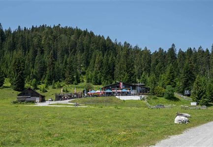
Bahnhof (train station) Hochzirl

Difficulty

Easy

Total Distance

6,10 km

Descent Meters

107 m

Ascent Meters

299 m

Highest Point

1065 m

Total Time

02:00 h

Map & Elevation Profile

Start Point

Information office Reith

End Point

Bahnhof (train station) Hochzirl

Difficulty

Easy

Total Distance

6,10 km

Descent Meters

107 m

Ascent Meters

299 m

Highest Point

1065 m

Total Time

02:00 h

Hiking

Best Time

Jan

Feb

Mar

Apr

May

Jun

Jul

Aug

Sep

Oct

Nov

Dec

Hiking

Hiking tour

+1

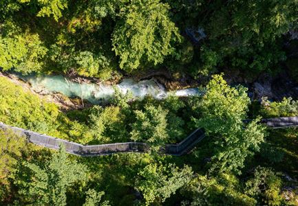
Route: Reith bei Seefeld - Leithen train station - Schlossbachtal - Hochzirl train station

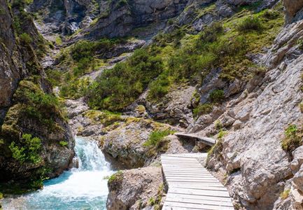
A hike through a gorge is always a beautiful experience. Deep gorges, wooden bridges

and paths along the water are attentive companions.


Parking and public transport:

Parking facilities near the train station.

By train to Reith train station.

Find all connections in real time with the Mobility-App "wegfinder".

Directions:

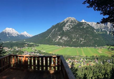
At the southern end of Reith, after the loop of the Gurglbachgraben, turn left. Slightly downhill through the forest to the Leithen train station, 45 minutes. In Leithen past a wayside shrine turn left into the Schlossbach valley. In hairpin bends down into the gorge and on the other side up on the soon more comfortable path to the Hochzirl train station. Every hour or so there is a train back to Leithen, Reith, Seefeld or Scharnitz.

Alpine emergency call:

Call: 140

Features & Characteristics

Start Point

Information office Reith

End Point

Bahnhof (train station) Hochzirl

Family hike

Yes

Similar Tour Suggestions

Steg zum Wandern entlang der Gleirschklamm.jpg

Hiking

Circular hike over Zäunlkopf & Oberbrunnalm alpine hut

Length

17,80 km

Duration

06:45 h

Uphill

867 hm

Altitude

1744 hm

Difficulty

Medium

Weg Richtung Wildmoosalm (c) Anna Rieder

Hiking

Hike to the Wildmoosalm alpine hut

Length

5,80 km

Duration

01:45 h

Uphill

131 hm

Altitude

1305 hm

Difficulty

Easy

Luftaufnahmen von der Isar im Karwendel - Scharnitz (2).jpg

Hiking

Hike to the source of the river Isar & Kasten alpine hut

Length

28,20 km

Duration

06:00 h

Uphill

323 hm

Altitude

1227 hm

Difficulty

Easy

Kurze Pause an der Leutascher Ache - mit den Mountainbikes im Gaistal

Hiking

Bike & Hike Gehrenspitze Summit, 2,367 m

Length

21,00 km

Duration

07:00 h

Uphill

1179 hm

Altitude

2367 hm

Difficulty

Hard

Kurblhang - Leutasch (2).jpg

Hiking

Circular hiking trail viewpoint Kurblhang

Length

3,50 km

Duration

01:30 h

Uphill

181 hm

Altitude

1277 hm

Difficulty

Medium

Weg zur Rauthhuette mit Blick auf das Wettersteingebirge

Hiking

Circular hiking to Rauthhütte alpine hut & Inntal Valley view

Length

6,20 km

Duration

03:00 h

Uphill

439 hm

Altitude

1599 hm

Difficulty

Medium

Leutascher Geisterklamm von oben - Steg und Klamm - Luftaufnahme.jpg

Hiking

Hike through the "Leutascher Geisterklamm" spirit gorge

Length

5,00 km

Duration

02:30 h

Uphill

200 hm

Altitude

1059 hm

Difficulty

Medium

Kurblhang

Hiking

Circular hike from Seefeld to Gießenbach & Leutasch

Length

21,50 km

Duration

06:30 h

Uphill

773 hm

Downhill

815 hm

Altitude

1616 hm

Difficulty

Medium

Closed