We use cookies for your personalized browsing experience, to personalize content and ads, to provide social media features, and to analyze traffic to our website. We also share information about your use of our website with our social media, advertising and analytics partners. Our partners may combine this information with other data that you have provided to them or that they have collected as part of your use of the Services. (incl. US providers)
Walk where the eagle flies!

Walk where the eagle flies!

Hiking the Eagle's Way

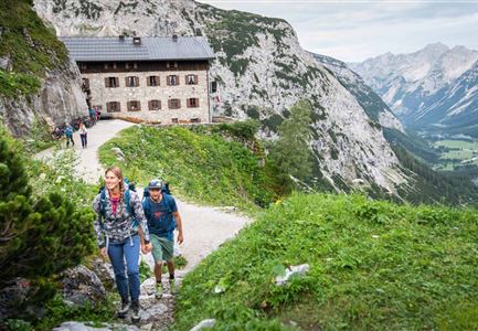
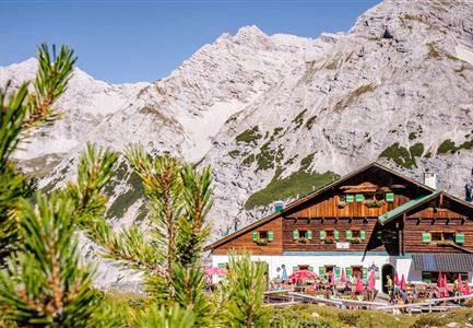
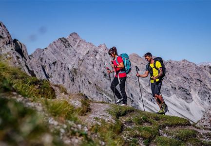
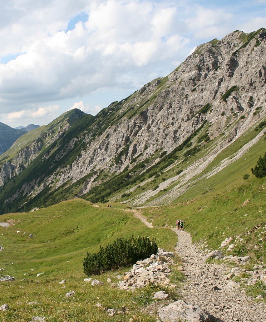
Clearly signposted, well marked and with detailed descriptions – along the main route alone, whose course resembles an eagle with outstretched wings, you can cover around 31,000 metres of ascent in 33 stages over a length of approx. 413 km. The eagle is known as the king of the skies and symbolises freedom, independence, uniqueness and power. Far, far up in the sky he watches the world from a distance. And precisely this distance and detachment from everyday life, this freedom, can also be enjoyed by those who walk in the mountains of Tyrol – hence, the name of this long-distance walking route through Tyrol. The route stretches from stage 8 to stage 15 through the Karwendel Nature Park and then continues with stage 16 through the picturesque Wettersteingebirge.

Further information on the Eagle’s Way complete with detailed route descriptions and maps can be found at tirol.at/adlerweg.
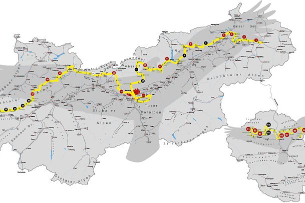
aw-routenverlauf-klein-1
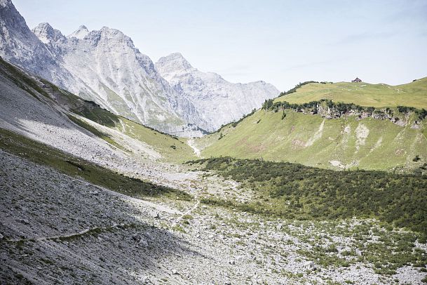
tirolwerbung-gigler-dominik-wanderung-eng-1
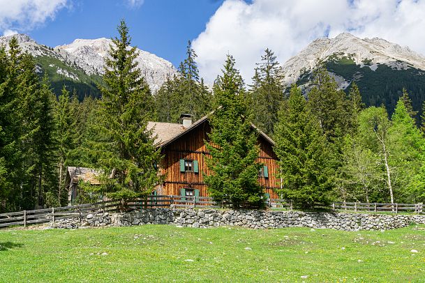
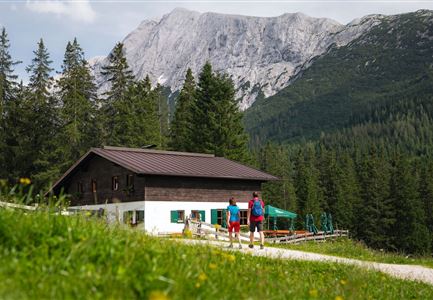
ganghoferhaus-bei-der-tillfussalm-im-gaistal-leutasch-2-2

Hiking in the Region Seefeld
Eagle Walk stages in the Region Seefeld

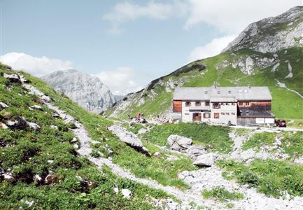
Eagle Walk Stage 08: Maurach - Lamsenjochhütte

Medium

Eagle walk

Start Point: Maurach Achensee

End Point: Lamsenjochhütte

17,00 km

05:00 h

1030 hm

1950 m

View Map

Eagle Walk Stage 09: Lamsenjoch Hut - Falken Hut

Medium

Eagle walk

Start Point: Lamsenjochhütte

End Point: Karwendelhaus

12,50 km

04:30 h

810 hm

920 hm

1960 m

View Map

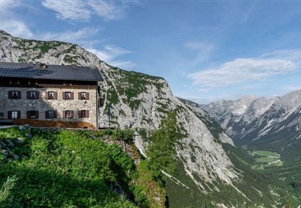
Eagle Walk Stage 10: Falken Hut - Karwendelhaus

Medium

Eagle walk

Start Point: Falkenhütte

End Point: Karwendelhaus

8,50 km

03:30 h

550 hm

1840 m

View Map

Eagle Walk Stage 11: Karwendelhaus - Birkkarspitze - Hallerangerhaus

Hard

Eagle walk

Start Point: Karwendelhaus

End Point: Hallerangerhaus

14,00 km

08:30 h

1440 hm

2750 m

View Map

Eagle Walk Stage 12: Hallerangerhaus - Pfeis hut - Hafelekar - Nordkette Innsbruck

Hard

Eagle walk

Start Point: Hallerangerhaus

End Point: Nordkette Innsbruck

13,00 km

05:30 h

1150 hm

2280 m

View Map

Eagle Walk Stage 14: Innsbruck - Hochzirl - Solsteinhaus

Medium

Eagle walk

Start Point: Innsbruck

End Point: Solsteinhaus

7,00 km

940 hm

1800 m

View Map

Eagle Walk Stage 15: Solsteinhaus - Scharnitz - Leutasch/Ahrn

Medium

Eagle walk

Start Point: Solsteinhaus

End Point: Leutasch/Ahrn

20,00 km

06:30 h

870 hm

1500 hm

2110 m

View Map

Eagle Walk Stage 16: Leutasch/Ahrn - Ehrwald

Medium

Eagle walk

Start Point: Leutasch, Ahrn (1.094m)

End Point: Ehrwald (994m)

23,00 km

07:00 h

590 hm

1590 m

View Map

Tourismusverband Seefeld | Austria +43 5 0880 | region@seefeld.com | www.seefeld.com