Start Point

Weidach Leutasch - next to the primary school

End Point

Weidach Leutasch - next to the primary school

Difficulty

Easy

Total Distance

1,70 km

Descent Meters

14 m

Highest Point

1120 m

Status

Closed

Map & Elevation Profile

Start Point

Weidach Leutasch - next to the primary school

End Point

Weidach Leutasch - next to the primary school

Difficulty

Easy

Total Distance

1,70 km

Descent Meters

14 m

Highest Point

1120 m

Status

Closed

Cross-country Skiing

Best Time

Closed

Jan

Feb

Mar

Apr

May

Jun

Jul

Aug

Sep

Oct

Nov

Dec

Ski-nordic

Ski-nordic-classic

+6

Trail Entry Point:
In the district of Weidach, next to the primary school, opposite the entrance to the Alpenbad P23 parking lot.

Trail Character:
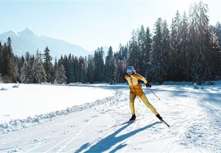
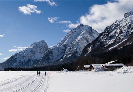
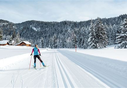
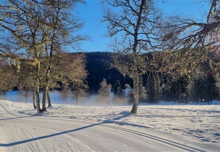
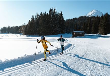
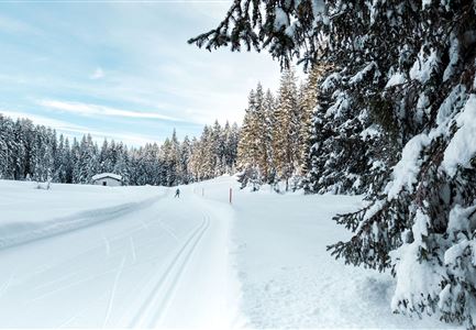
The Weidach Trail is a popular and easy beginner’s loop, perfect for getting started. Stretching over 1.7 kilometers, it’s also ideal for children. In good weather, the trail is bathed in sunshine and offers stunning panoramic views of the surrounding mountains.
Along the way, several inviting spots offer the chance to take a break, including the Biohotel Leutascherhof, Leutascher Dorfstadl, Restaurant Vabene, and the Kaminstüberl at Sporthotel Raffl. The practice area near the Alpenbad is also close by, providing the opportunity to explore various loops through the Leutasch Valley from there.

Connecting Trails:
A6 Alpenbad and A7 Gasse
An overview of the entire cross-country skiing network (incl. trail status) and helpful cross-country skiing information (ticket machines, waxing and service points, changing facilities, ...) can be found in the cross-country skiing report.

Features & Characteristics

Start Point

Weidach Leutasch - next to the primary school

End Point

Weidach Leutasch - next to the primary school

Barrier-free/adaptive cross-country skiing

Yes

Skating

Yes

Klassisch

Yes

Similar Tour Suggestions

B7 Klassisch.jpg

Cross-country Skiing

B9 - Triendlsäge

Length

3,00 km

Uphill

-120 hm

Altitude

1163 hm

Difficulty

Medium

Closed
Klassische Langlauf Spur

Cross-country Skiing

B8 - Interalpen Connection West

Length

400 m

Uphill

24 hm

Altitude

1342 hm

Difficulty

Medium

Closed
Langlaufen in der Region Seefeld - Klassisch - Ferienheim Wildmoos (3).jpg

Cross-country Skiing

B3 - Wildmoos See

Length

2,90 km

Uphill

49 hm

Altitude

1331 hm

Difficulty

Medium

Closed
Loipe bei der Ropferstub'm mit Blick ins Inntal - Moesern-Buchen

Cross-country Skiing

B5 - Katzenloch

Length

5,00 km

Uphill

67 hm

Altitude

1260 hm

Difficulty

Medium

Closed
B12 Abzweigung B1-B12

Cross-country Skiing

B12 - Mösern Ortszentrum

Length

1,00 km

Uphill

23 hm

Altitude

1248 hm

Difficulty

Medium

Closed
Morgenstimmung im Wildmoos - Loipe C2

Cross-country Skiing

Olympia Track

Length

32,00 km

Uphill

589 hm

Difficulty

Hard

Loipe A8 Lehner mit Langlaeuferin

Cross-country Skiing

A8 - Lehner

Length

1,90 km

Uphill

23 hm

Altitude

1100 hm

Difficulty

Easy

Closed
Loipe C6 Buchen

Cross-country Skiing

C6 - Buchen

Length

3,10 km

Uphill

44 hm

Altitude

1323 hm

Difficulty

Hard

Closed