We use cookies for your personalized browsing experience, to personalize content and ads, to provide social media features, and to analyze traffic to our website. We also share information about your use of our website with our social media, advertising and analytics partners. Our partners may combine this information with other data that you have provided to them or that they have collected as part of your use of the Services. (incl. US providers)

Start Point

Lottenseehütte

End Point

Lottenseehütte

Difficulty

Hard

Total Distance

3,40 km

Descent Meters

99 m

Highest Point

1332 m

Status

Closed

Map & Elevation Profile

Start Point

Lottenseehütte

End Point

Lottenseehütte

Difficulty

Hard

Total Distance

3,40 km

Descent Meters

99 m

Highest Point

1332 m

Status

Closed

Cross-country Skiing

Best Time

Closed

Jan

Feb

Mar

Apr

May

Jun

Jul

Aug

Sep

Oct

Nov

Dec

Ski-nordic

Ski-nordic-classic

+3

Access to track:

Lottenseehütte, golf club Seefeld-Wildmoos via C8, B3

Connected tracks:

B3 | B13 | C6

An overview of the entire cross-country skiing network (incl. trail status) and helpful cross-country skiing information (ticket machines, waxing and service points, changing facilities, ...) can be found in the cross-country skiing report.

Characteristics:

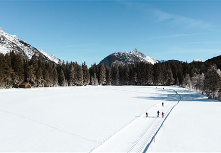
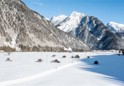
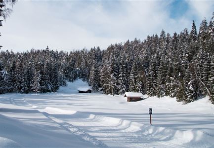
The new, difficult trail starts at the Lottenseehütte. Partly it leads through clearings, woods and also over sunny plateaus. The temperature differences in the Wildmoossee and Lottensee areas are unique and equally breathtaking due to the location of the pools.

Information:

Very snow safe, but beware of exposed areas. In late winter ice can form there. The section between the Ferienkolonie Wildmoos and the Lottenseehütte has been rebuilt.

Refreshment stop:

Lottensee hut, Golf-in Restaurant

Emergency call:

Tel.: 140

Features & Characteristics

Start Point

Lottenseehütte

End Point

Lottenseehütte

Skating

Yes

Klassisch

Yes

Similar Tour Suggestions

Wildmoos Langlaufen

Cross-country Skiing

Adventure Run (classic & skating)

Length

55,00 km

Uphill

600 hm

Difficulty

Hard

Closed
Langlaufen in Leutasch

Cross-country Skiing

C7 - Bichlwald

Length

3,60 km

Uphill

141 hm

Altitude

1323 hm

Difficulty

Hard

Closed
Luftaufnahme der Loipe A8 Lehner mit Blick Richtung Weidach und Hohe Munde

Cross-country Skiing

A8 - Lehner

Length

1,90 km

Uphill

23 hm

Altitude

1100 hm

Difficulty

Easy

Closed
Leutasch Drohnenaufnahme

Cross-country Skiing

Katzenkopf circuit (classic & skating)

Length

22,00 km

Uphill

175 hm

Altitude

1379 hm

Difficulty

Hard

Closed
Langlaufloipe A11 mit Wegweiser im Wald

Cross-country Skiing

A11 - Bodenalm

Length

10,70 km

Uphill

60 hm

Altitude

1037 hm

Difficulty

Easy

Closed
B4 Loipe in Leutasch

Cross-country Skiing

B4 - Skatingzentrum

Length

1,20 km

Uphill

39 hm

Altitude

1205 hm

Difficulty

Medium

Closed
B11 Waldloipe mit Langlaeuferin

Cross-country Skiing

B11 – Waldloipe

Length

2,70 km

Uphill

51 hm

Altitude

1183 hm

Difficulty

Medium

Closed
Langlaufen-C10-Mundeknie-Loipe---Leutasch

Cross-country Skiing

C10 – Mundeknie

Length

2,50 km

Uphill

84 hm

Altitude

1263 hm

Difficulty

Hard

Closed