We use cookies for your personalized browsing experience, to personalize content and ads, to provide social media features, and to analyze traffic to our website. We also share information about your use of our website with our social media, advertising and analytics partners. Our partners may combine this information with other data that you have provided to them or that they have collected as part of your use of the Services. (incl. US providers)

Start Point

Leutasch - Alpenbad

End Point

Alpenbad Leutasch

Difficulty

Easy

Total Distance

5,60 km

Descent Meters

70 m

Highest Point

1160 m

Status

Open

Map & Elevation Profile

Start Point

Leutasch - Alpenbad

End Point

Alpenbad Leutasch

Difficulty

Easy

Total Distance

5,60 km

Descent Meters

70 m

Highest Point

1160 m

Status

Open

Cross-country Skiing

Best Time

Open

Jan

Feb

Mar

Apr

May

Jun

Jul

Aug

Sep

Oct

Nov

Dec

Ski-nordic-skating

Ski-nordic-classic

+5

Trail Entry Point:
Alpenbad Leutasch – Cross-Country Skiing Center

Trail Character:
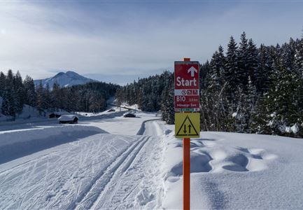
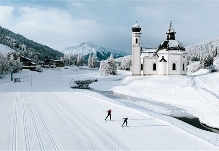
The A6 Trail runs as a two-way route from Kirchplatzl to Aumoosalm, continuing across the fields toward Platzl. At the underpass in Ostbach, you can either return to the starting point or follow the A5 Obern Trail toward Moos.
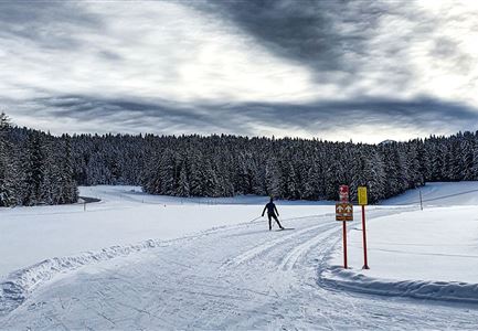
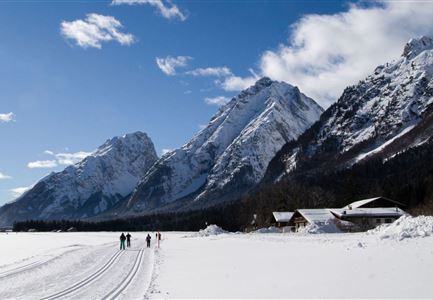
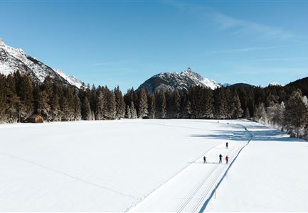
The A6 Alpenbad Trail in Leutasch offers stunning scenery, with views of the Hohe Munde and the Wetterstein Mountains in the direction of travel. On sunny days, this route is bathed in sunlight, making it one of the most beautiful cross-country circuits in Leutasch, especially along the Leutascher Ache.
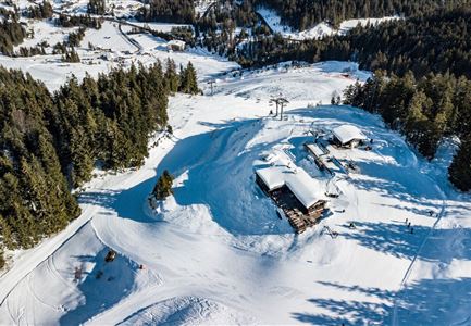
For refreshments, you can stop at the starting and ending point at either Restaurant Vabene or Dorfstadl. Along the way, the j’auszeit trail kiosk offers various drinks and small treats in the sun.

Connecting Trails:
A5 Obern, A7 Gasse, A10 Weidach, B11 Forest Trail, and B14 Alpenbad Forest Trail.
For an overview of the entire trail network (including current trail status) and helpful cross-country skiing information (ticket machines, waxing and service stations, changing facilities,

Read More...

Features & Characteristics

Start Point

Leutasch - Alpenbad

End Point

Alpenbad Leutasch

Barrier-free/adaptive cross-country skiing

Yes

Skating

Yes

Klassisch

Yes

Similar Tour Suggestions

B3 Wildmoos - Skating-Sprint am Stadl

Cross-country Skiing

B3 - Wildmoos See

Length

2,90 km

Uphill

49 hm

Altitude

1331 hm

Difficulty

Medium

Open
C1 WM 2019

Cross-country Skiing

C1 - WM2019

Length

9,00 km

Uphill

260 hm

Altitude

1236 hm

Difficulty

Hard

Open
A3-C3-C4-C5 in Wildmoos

Cross-country Skiing

C5 - Kaserwald

Length

2,60 km

Uphill

58 hm

Altitude

1388 hm

Difficulty

Hard

Open
B4 Loipeneinstieg Skatingzentrum Leutasch

Cross-country Skiing

B4 - Skatingzentrum

Length

1,20 km

Uphill

39 hm

Altitude

1205 hm

Difficulty

Medium

Open
Langlaufen in der Region Seefeld - Sonnenuntergang in Moesern-Buchen (3) (1).jpg

Cross-country Skiing

B5 - Katzenloch

Length

5,00 km

Uphill

67 hm

Altitude

1260 hm

Difficulty

Medium

Open
Langlaufen in der Region Seefeld - Langläuferin im Wildmoos.jpg

Cross-country Skiing

A3 - Torfstich

Length

1,80 km

Uphill

11 hm

Altitude

1317 hm

Difficulty

Easy

Open
Wildmoos Langlaufen

Cross-country Skiing

Wildmoos circuit (classic & skating)

Length

17,00 km

Uphill

324 hm

Altitude

1332 hm

Difficulty

Hard

Closed
C3 Neuleutasch - Skating in Wildmoos

Cross-country Skiing

C3 – Neuleutasch

Length

5,10 km

Uphill

142 hm

Altitude

1335 hm

Difficulty

Hard

Open