We use cookies for your personalized browsing experience, to personalize content and ads, to provide social media features, and to analyze traffic to our website. We also share information about your use of our website with our social media, advertising and analytics partners. Our partners may combine this information with other data that you have provided to them or that they have collected as part of your use of the Services. (incl. US providers)

Start Point

Leutasch - Moos (P11)

End Point

Leutasch - Moos (P11)

Difficulty

Easy

Total Distance

5,30 km

Descent Meters

29 m

Highest Point

1177 m

Status

Closed

Map & Elevation Profile

Start Point

Leutasch - Moos (P11)

End Point

Leutasch - Moos (P11)

Difficulty

Easy

Total Distance

5,30 km

Descent Meters

29 m

Highest Point

1177 m

Status

Closed

Cross-country Skiing

Best Time

Closed

Jan

Feb

Mar

Apr

May

Jun

Jul

Aug

Sep

Oct

Nov

Dec

Adaptive nordic skiing

Ski-nordic

+6

Access to the ski track:

Parking Moos Rödlach

Connected tracks:

A6 | B4 | B5 | B7C7 | C10

An overview of the entire cross-country skiing network (incl. trail status) and helpful cross-country skiing information (ticket machines, waxing and service points, changing facilities, ...) can be found in the cross-country skiing report.

Track characteristics:

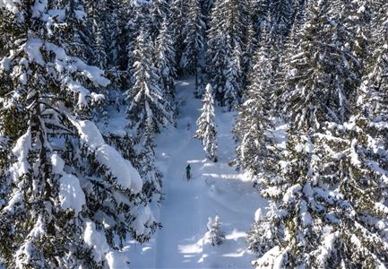
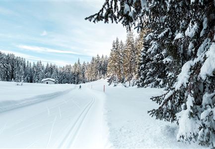
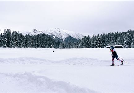
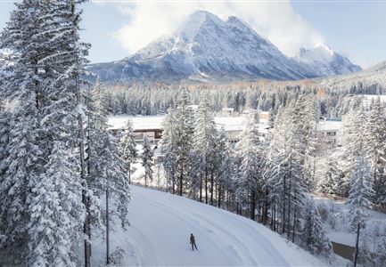
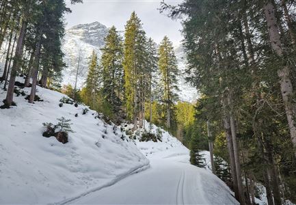
Starting at Moos car park, the ‘Obern’ trail takes skiers into the Leutasch’s Obern area and leads as far as the turning point at the Ostbach underpass. The track runs along the edge of the forest in part as well as across open terrain and offers lots of sunshine on fine days. The track is ideal for beginners since it involves no climbs or downhill sections. The route offers several rustic taverns along the way offering snacks and refreshments, as well as benches on which to rest and enjoy the fresh air. The circuit offers a fantastic view of the Hohe Munde mountain, the Wetterstein range and the Ahrnplattenspitze peak.

Information:

Triple-track classic-style trail; 1 skating trail.

Moos car park with WC and self-waxing room.

The A5 track is part of the Ganghofer race section.

Adaptive cross-country skiing is

Read More...

Features & Characteristics

Start Point

Leutasch - Moos (P11)

End Point

Leutasch - Moos (P11)

Barrier-free/adaptive cross-country skiing

Yes

Skating

Yes

Klassisch

Yes

Similar Tour Suggestions

A3-C3-C4-C5 in Wildmoos

Cross-country Skiing

C5 - Kaserwald

Length

2,60 km

Uphill

58 hm

Altitude

1388 hm

Difficulty

Hard

Closed
Loipe B11 Waldloipe Drohne

Cross-country Skiing

B11 – Waldloipe

Length

2,70 km

Uphill

51 hm

Altitude

1183 hm

Difficulty

Medium

Closed
Loipe A8 Lehner mit Langlaeuferin und Blick auf Gehrenspitze und Oefelekopf im Wetterstein

Cross-country Skiing

A8 - Lehner

Length

1,90 km

Uphill

23 hm

Altitude

1100 hm

Difficulty

Easy

Closed
(c)Olympiaregion-Seefeld-Sebastian-Marko-Ganghoferlauf-Leutasch-(17).jpg

Cross-country Skiing

Race Euroloppet Ganghoferlauf - classic 50 km

Length

50,00 km

Uphill

512 hm

Altitude

1226 hm

Difficulty

Hard

Luftaufnahme der Loipe A10 Weidach und Winterwanderweg mit Langlaeuferin und Hoher Munde

Cross-country Skiing

A10 – Weidach

Length

1,70 km

Uphill

14 hm

Altitude

1120 hm

Difficulty

Easy

Closed
A13 Scharnitz

Cross-country Skiing

A13 - Scharnitz-Klassik

Length

2,00 km

Uphill

32 hm

Altitude

998 hm

Difficulty

Easy

Closed
Seefeld Nachtloipe A7 mit Seekirchl zur Blauen Stunde.jpg

Cross-country Skiing

A1 - Nachtloipe - flood light trail

Length

3,00 km

Uphill

19 hm

Altitude

1189 hm

Difficulty

Easy

Closed
Seefeld Drohnenaufnahme A1 Loipe mit Seekirchel Blick Richtung Wettersteingebirge.jpg

Cross-country Skiing

A1 - Seekirchl Loipe

Length

3,00 km

Uphill

19 hm

Altitude

1189 hm

Difficulty

Easy

Closed