We use cookies for your personalized browsing experience, to personalize content and ads, to provide social media features, and to analyze traffic to our website. We also share information about your use of our website with our social media, advertising and analytics partners. Our partners may combine this information with other data that you have provided to them or that they have collected as part of your use of the Services. (incl. US providers)

Start Point

Scharnitz information centre (parking Länd P2)

End Point

Scharnitz information centre (parking Länd P2)

Difficulty

Easy

Total Distance

28,30 km

Descent Meters

327 m

Ascent Meters

324 m

Highest Point

1220 m

Total Time

02:30 h

Map & Elevation Profile

Start Point

Scharnitz information centre (parking Länd P2)

End Point

Scharnitz information centre (parking Länd P2)

Difficulty

Easy

Total Distance

28,30 km

Descent Meters

327 m

Ascent Meters

324 m

Highest Point

1220 m

Total Time

02:30 h

Cycling

Best Time

Jan

Feb

Mar

Apr

May

Jun

Jul

Aug

Sep

Oct

Nov

Dec

Mountainbike tour

To the "Origin of the river Isar": Through the wild Hinterautal valley to the traditional hut Kastenalm
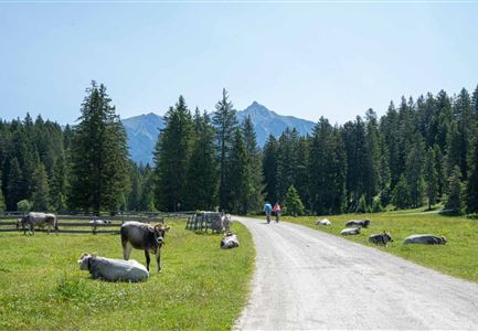
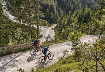
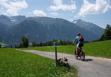
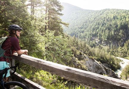
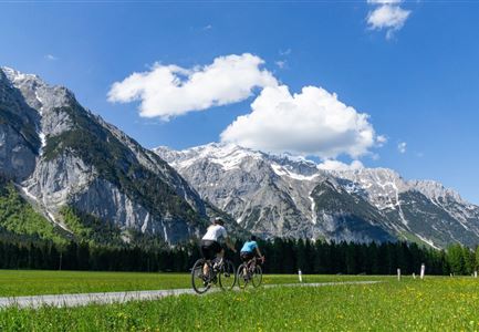
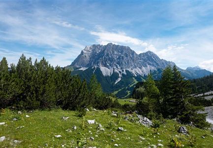
If you are looking for adventure, love huge mountains and prefer a route with only a few climbs, you will find everything on the 14.5 km between Scharnitz and the Kastenalm.
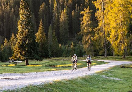
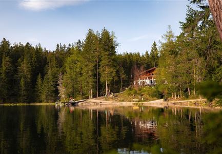
The route starts at the information centre Scharnitz / Länd car park and follows a low-traffic, asphalted municipal road for the first 1.5 km. Shortly before the Isarlodge Wiesenhof the forest path through the beautiful Hinterautal valley begins. From the beginning of the route to Gleirschhöhe it is just approx. 3 km and the only section that runs relatively steeply uphill. From Gleirschhöhe you cycle only slightly uphill directly next to the river Isar into the valley, constantly framed by the mighty foothills of the Karwendelgebirge. After 3/4 of the route you reach the source of the Isar with a nice resting area and information about the valley and river. After another 10 minutes ride, the bike must be parked and the last 500m must be mastered on foot to the Kastenalm, which lies in a huge pasture area. From here it is also possible to

Read More...

Features & Characteristics

Start Point

Scharnitz information centre (parking Länd P2)

End Point

Scharnitz information centre (parking Länd P2)

Similar Tour Suggestions

Reitherjoch-Alm (c) Anna Rieder

Cycling

Biketour No. 5032 Reitherjoch Alm

Length

12,60 km

Duration

02:00 h

Uphill

372 hm

Downhill

368 hm

Altitude

1495 hm

Difficulty

Medium

Gravelbiker auf dem Radweg durch das Leutaschtal im Sommer

Cycling

Biketour No. 537 through the Leutasch valley

Length

32,46 km

Duration

01:10 h

Uphill

200 hm

Downhill

205 hm

Altitude

1236 hm

Difficulty

Easy

Familie beim Radfahren - Leutasch

Cycling

Biketour family adventure trail

Length

8,70 km

Duration

00:45 h

Uphill

3 hm

Downhill

76 hm

Altitude

1205 hm

Difficulty

Easy

Gravelbiken in der Region Seefeld (3).jpg

Cycling

Radwanderroute: Scharnitz - Seefeld - Reith

Length

18,50 km

Duration

01:45 h

Uphill

320 hm

Downhill

140 hm

Altitude

1200 hm

Difficulty

Easy

Gravelbiker auf der Gleirschhoehe im Hinterautal - Naturpark Karwendel

Cycling

Biketour No. 579 Gleirschtal-Möslalm

Length

22,60 km

Duration

02:30 h

Uphill

392 hm

Altitude

1272 hm

Difficulty

Medium

Familie beim Radfahren um den Kaltwassersee - Seefeld

Cycling

Biketour No. 5027 Rosshütte

Length

10,80 km

Duration

01:20 h

Uphill

570 hm

Downhill

5 hm

Altitude

1751 hm

Difficulty

Hard

Scharnitz - Wanderung Dorfrunde - Weg bei Gießenbach (1).jpg

Cycling

Radwanderroute: Reith - Seefeld - Scharnitz

Length

18,50 km

Duration

01:45 h

Uphill

140 hm

Downhill

320 hm

Altitude

1200 hm

Difficulty

Easy

Drohnenaufnahme Gschwandtkopf - Speichersee mit Bäumen und Hohe Munde bei Sonnenuntergang.jpg

Cycling

Biketour No. 545 Gschwandtkopf

Length

6,40 km

Duration

00:45 h

Uphill

267 hm

Downhill

263 hm

Altitude

1486 hm

Difficulty

Hard