Start Point

Weidach Leutasch

End Point

Weidach Leutasch

Difficulty

Medium

Total Distance

104,00 km

Descent Meters

1687 m

Ascent Meters

1687 m

Highest Point

1596 m

Total Time

10:00 h

Map & Elevation Profile

Start Point

Weidach Leutasch

End Point

Weidach Leutasch

Difficulty

Medium

Total Distance

104,00 km

Descent Meters

1687 m

Ascent Meters

1687 m

Highest Point

1596 m

Total Time

10:00 h

Cycling

Best Time

Jan

Feb

Mar

Apr

May

Jun

Jul

Aug

Sep

Oct

Nov

Dec

Cycling and mountain biking

Mountainbike tour

+3

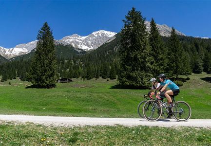
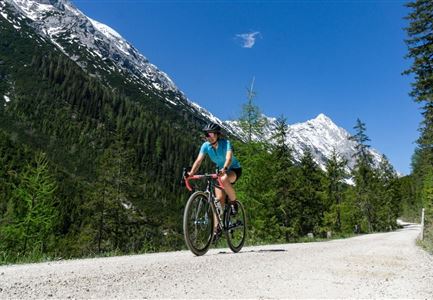
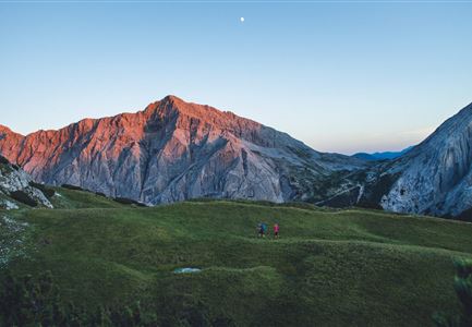
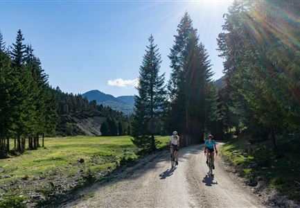
Directly from the parking lot at the Weidachbrücke (P8) in Leutasch starts one of the most impressive bike adventures of the region: Stretching almost 104 kilometers around the imposing Zugspitze, challenging a good 2.300 meters in altitude through Austria and Bavaria, with seven villages and four picturesque mountain lakes on the way.

At the Weidachbrücke sufficient (paid) parking spaces are available, but also the Leutasch regional bus line (equipped with a backside bike carrier) stops just a few meters away. The tour then starts on the paved federal road heading northeast, through the small villages in the Leutasch valley, until you reach the spectacular Leutascher Geisterklamm (spirit gorge). On hot days, a refresing stroll is highly recommended here, with a stop at the cozy snack station serving all kinds of treats.

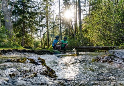
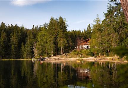
The route further continues across the Bavarian border and past Mittenwald, in the direction of Lautersee and Ferchensee. Here, small lakeside cafés serve refreshments, fresh coffee and cake, embraced within particularly picturesque lake and mountain views. Finally, the route continues through shady woodlands to Elmau, through Garmisch Partenkirchen, Grainau and further along the German-Austrian border to the Plansee.

Circumnavigate the lake on the north side,

Read More...

Similar Tour Suggestions

Gravelbike - Anfahrt zur Gaistalalm

Cycling

Bike Trail Tirol Etappe 06: Ehrwald-Scharnitz

Length

40,00 km

Duration

04:00 h

Uphill

990 hm

Downhill

1020 hm

Altitude

1590 hm

Difficulty

Medium

Erfrischende Rast an den Isarquellen

Cycling

Biketour No. 578 Hinterautal-Isarursprung-Kastenalm

Length

28,30 km

Duration

02:30 h

Uphill

327 hm

Downhill

324 hm

Altitude

1220 hm

Difficulty

Easy

Bikepark Katzenkopf - Roter Trail

Cycling

Bikepark Katzenkopf - Dirty Dancer Trail

Length

2,10 km

Downhill

229 hm

Altitude

1360 hm

Difficulty

Medium

Gravelbike - Bikeweg im Gaistal.jpg

Cycling

Biketour No. 5047 Gaistal-Hämmermoosalm

Length

3,90 km

Duration

00:45 h

Uphill

171 hm

Downhill

172 hm

Altitude

1417 hm

Difficulty

Medium

Sonnenaufgang im Karwendel_Speckkarspitze

Hiking

Bike & Hike Speckkarspitze, 2,621 m

Length

44,00 km

Duration

11:00 h

Uphill

1794 hm

Altitude

2621 hm

Difficulty

Hard

Möserer See im Frühling - Paar auf Liege vor Möserer Seestube von aus der Entfernung.jpg

Cycling

Biketour No. 544 Mösern-Wildmoos around the Brunschkopf

Length

11,50 km

Duration

01:30 h

Uphill

300 hm

Altitude

1387 hm

Difficulty

Medium

Gravelbike - Zum Isarursprung.jpg

Hiking

Bike & Hike Hoher Gleirsch Summit, 2,492 m

Length

31,00 km

Duration

09:30 h

Uphill

1772 hm

Altitude

2492 hm

Difficulty

Hard

Symbolbild Biken

Cycling

Biketour No. 5049 Reith-Kaiserstandrunde

Length

6,60 km

Duration

01:10 h

Uphill

254 hm

Downhill

252 hm

Altitude

1318 hm

Difficulty

Hard