We use cookies for your personalized browsing experience, to personalize content and ads, to provide social media features, and to analyze traffic to our website. We also share information about your use of our website with our social media, advertising and analytics partners. Our partners may combine this information with other data that you have provided to them or that they have collected as part of your use of the Services. (incl. US providers)

Start Point

Parking lot P21 "Leutasch football field"

End Point

Parking lot P21 "Leutasch football field"

Difficulty

Easy

Total Distance

6,10 km

Descent Meters

64 m

Ascent Meters

64 m

Highest Point

1194 m

Total Time

02:00 h

Map & Elevation Profile

Start Point

Parking lot P21 "Leutasch football field"

End Point

Parking lot P21 "Leutasch football field"

Difficulty

Easy

Total Distance

6,10 km

Descent Meters

64 m

Ascent Meters

64 m

Highest Point

1194 m

Total Time

02:00 h

Hiking

Best Time

Jan

Feb

Mar

Apr

May

Jun

Jul

Aug

Sep

Oct

Nov

Dec

Hiking tour

Village walks

+3

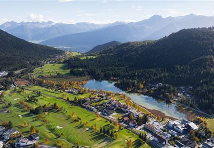
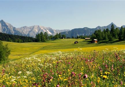
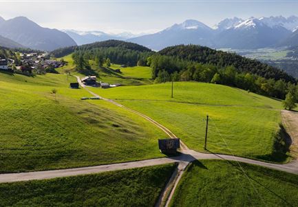
This easy circular hike along the meadow path leads through the scenic Leutasch Valley and begins at the small parking lot P21 near the football field in the Weidach district. The path first heads west to the Kirchplatzl in Leutasch, passing Kühtaierhof and Gasthof Birkegg, and then continues along the meadow path (Wiesenweg) at the edge of the forest. Follow the trail until the second turnoff, then continue through the Plaikner Mähder until reaching the district of Klamm.

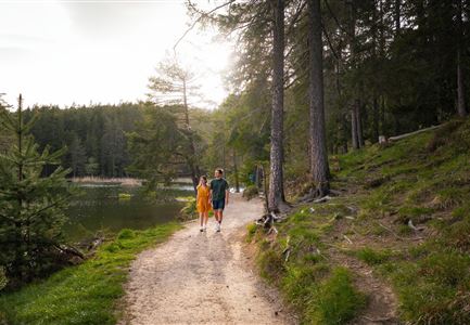
At Klammstraße, turn left and take a stroll around the small hamlet of Leutasch before returning to the Plaikner Mähder, this time from below. Here, turn left and walk through an open larch forest, then take the familiar path back to the starting point at the football field from Kirchplatzl. If you still have energy, you can walk a few more minutes to the ErlebnisWelt Alpenbad Leutasch, where relaxing wellness and feel-good offers await.

Features & Characteristics

Start Point

Parking lot P21 "Leutasch football field"

End Point

Parking lot P21 "Leutasch football field"

Family-friendly

Yes

Loop tour

Yes

Similar Tour Suggestions

Scharnitz - Wanderung zur Adlerkanzel - Blick auf die Isar.jpg

Hiking

Circular village walk Scharnitz - Gießenbach

Length

6,10 km

Duration

01:30 h

Uphill

42 hm

Altitude

1013 hm

Difficulty

Easy

Ahrn Hochfluder Weidach.jpg

Hiking

Hike Hoher Sattel

Length

10,60 km

Duration

04:00 h

Uphill

524 hm

Altitude

1620 hm

Difficulty

Medium

Rotmoosalm im Gaistal beim Sonnenuntergang (C) Olympiaregion Seefeld

Hiking

High Pasture alpine hut hike above the Gaistal Valley

Length

24,40 km

Duration

09:45 h

Uphill

1263 hm

Downhill

1264 hm

Altitude

2132 hm

Difficulty

Medium

Pleisenhütte im Karwendel - Blick auf die Pleisenspitze.jpg

Hiking

Hike to the Pleisenspitze Summit, 2,569 m

Length

20,10 km

Duration

10:30 h

Uphill

1600 hm

Altitude

2569 hm

Difficulty

Hard

Wettersteinhuette (l) und Wangalm (r) im Wettersteingebirge (2).jpg

Hiking

Circular hike Wettersteinhütte alpine hut - Wangalm alpine hut - Hämmermoosalm alpine hut

Length

10,20 km

Duration

04:15 h

Uphill

562 hm

Altitude

1756 hm

Difficulty

Medium

Wanderung durchs Katzenloch im Frühherbst - Wanderer mit Hunde auf dem Weg bei einer Lichtung.jpg

Hiking

Hike through the Katzenloch

Length

7,10 km

Duration

02:00 h

Uphill

155 hm

Downhill

154 hm

Altitude

1280 hm

Difficulty

Easy

Kristenalm

Hiking

Bike & Hike Kristenalm

Length

25,00 km

Duration

04:00 h

Uphill

420 hm

Altitude

1249 hm

Difficulty

Medium

Wanderung zur Eppzirler Alm im Karwendel - Scharnitz.jpg

Hiking

Hike to the Eppzirler Alm alpine hut

Length

12,40 km

Duration

04:00 h

Uphill

481 hm

Altitude

1453 hm

Difficulty

Medium