Start Point

Leutasch parking Salzbach (P5)

End Point

Leutasch parking Salzbach (P5)

Difficulty

Medium

Total Distance

19,80 km

Descent Meters

1004 m

Ascent Meters

44 m

Highest Point

2131 m

Total Time

06:00 h

Map & Elevation Profile

Start Point

Leutasch parking Salzbach (P5)

End Point

Leutasch parking Salzbach (P5)

Difficulty

Medium

Total Distance

19,80 km

Descent Meters

1004 m

Ascent Meters

44 m

Highest Point

2131 m

Total Time

06:00 h

Hiking

Best Time

Jan

Feb

Mar

Apr

May

Jun

Jul

Aug

Sep

Oct

Nov

Dec

Hiking tour

Hut hikes

Route: Salzbach parking lot (P5) - Gaistalalm - Steinernes Hüttl - Tillfußalm - Gaistalalm - Salzbach parking lot (P5)

Parking facilities:

P3-5 "Salzbach parking lot

Directions:

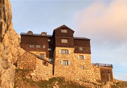
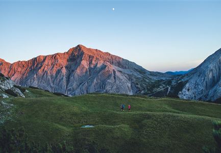
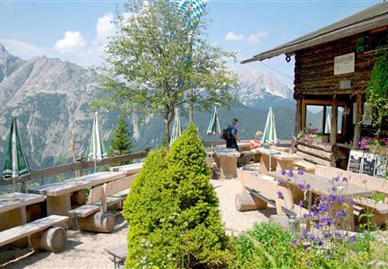
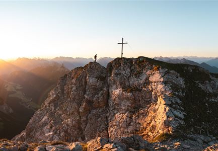
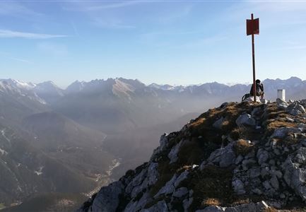
The route starts at the Salzbach parking lot from where you take the bike to the Gaistalalm. At the alpine hut, leave the bike and continue to the old Rotmoosalm and then turn left onto the Südwandsteig (towards Predigtstuhl). Optionally, you can take the turnoff to the summit of the Predigtstuhl, although caution is advised here, as the last climb to the summit is difficult. Once at the top, you will be rewarded with a magnificent view. If you are unsure, it is better to stay on the Südwandsteig, which is moderately difficult up to the Steinernen Hüttl. Arrived at the mountain hut, you will be rewarded with a tasty snack and an incredible view. Then take the trail to the Tillfußalm and continue hiking to the Gaistalalm. From there take your bike and cycle back to the starting point.

Details for one direction:

  • Bike route no. 551: approx. 4 km, 130 hm uphill, 00:30 h, difficulty: easy

  • Hike route: approx. 12 km, 800 hm uphill, 05:30 h, difficulty: medium. Attention: The last

Read More...

Features & Characteristics

Start Point

Leutasch parking Salzbach (P5)

End Point

Leutasch parking Salzbach (P5)

Videos

01

Similar Tour Suggestions

Spaziergang an der Isar - Scharnitz (2).jpg

Hiking

Circular hiking trail to the Gleirschhöhe

Length

8,60 km

Duration

02:45 h

Uphill

212 hm

Altitude

1074 hm

Difficulty

Medium

Herbst am Möserer See - Frau am Ufer (Edit 2).jpg

Hiking

Circular walking path lake Möserer See & Kalvarienberg

Length

3,00 km

Duration

01:00 h

Uphill

78 hm

Downhill

82 hm

Altitude

1291 hm

Difficulty

Easy

Schlossbachklamm mit Bahnstrecke - Reith.jpg

Hiking

Hike through the Schlossbachklamm Gorge

Length

12,20 km

Duration

04:30 h

Uphill

488 hm

Downhill

482 hm

Altitude

1129 hm

Difficulty

Easy

Closed
Blumenwiese in Neuleutasch

Hiking

Hike from Leutasch to Seefeld

Length

4,60 km

Duration

01:30 h

Uphill

118 hm

Downhill

83 hm

Altitude

1225 hm

Difficulty

Easy

Personen bei der Rotmoosalm im Sommer - auf der Terrasse (1).jpg

Hiking

Hike to the Rotmoosalm alpine hut

Length

9,00 km

Duration

05:30 h

Uphill

842 hm

Altitude

2037 hm

Difficulty

Medium

Wanderer auf der Seefelder Spitze ueber Seefeld

Hiking

Bike & Hike Seefelder Spitze Summit, 2,220 m

Length

13,00 km

Duration

04:30 h

Uphill

1094 hm

Altitude

2220 hm

Difficulty

Hard

Wanderung zur Eppzirler Alm im Sommer - Mann und Frau von hinten mit Eppzirler Alm.jpg

Hiking

Hike to the Eppzirler Alm alpine hut

Length

12,40 km

Duration

04:00 h

Uphill

475 hm

Altitude

1459 hm

Difficulty

Medium

Scharnitz - Wanderung zur Adlerkanzel - Adlerkanzel mit Ausblick auf Scharnitz.jpg

Hiking

Hike to the viewpoint Adlerkanzel (Eagle's pulpit)

Length

2,80 km

Duration

01:30 h

Uphill

230 hm

Altitude

1145 hm

Difficulty

Medium