We use cookies for your personalized browsing experience, to personalize content and ads, to provide social media features, and to analyze traffic to our website. We also share information about your use of our website with our social media, advertising and analytics partners. Our partners may combine this information with other data that you have provided to them or that they have collected as part of your use of the Services. (incl. US providers)

Start Point

ErlebnisWelt Alpenbad Leutasch

End Point

ErlebnisWelt Alpenbad Leutasch

Difficulty

Easy

Total Distance

20,00 km

Descent Meters

315 m

Ascent Meters

315 m

Highest Point

1172 m

Map & Elevation Profile

Start Point

ErlebnisWelt Alpenbad Leutasch

End Point

ErlebnisWelt Alpenbad Leutasch

Difficulty

Easy

Total Distance

20,00 km

Descent Meters

315 m

Ascent Meters

315 m

Highest Point

1172 m

Running

Best Time

Jan

Feb

Mar

Apr

May

Jun

Jul

Aug

Sep

Oct

Nov

Dec

Running

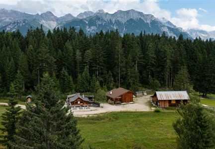
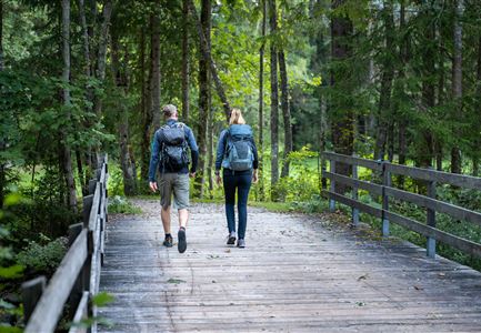
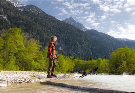
The Achen Walk is twice as long as the Runst Walk but is still at an easy level of difficulty. The walk heads down towards Unterkirchen (Leutasch), where only a few kilometres separate us from the border crossing to Germany. The walk is named after the Leutascher Ache (‘stream’), which is the ’companion’ for half of the walk. The start and finished for the Achen Walk is at the ErlebnisWelt Alpenbad Leutasch. The start time is also at 07.00.


Features & Characteristics

Start Point

ErlebnisWelt Alpenbad Leutasch

End Point

ErlebnisWelt Alpenbad Leutasch

Similar Tour Suggestions

Trailrunning auf der Seefelder Spitze - - Läuferin kurz vor dem Gipfelkreuz.jpg

Running

Mountainrun to the peak Seefelder Spitze

Length

6,70 km

Uphill

1025 hm

Downhill

5 hm

Altitude

2185 hm

Difficulty

Hard

Baenke und Stadl auf dem Oberen Wiesenweg in Leutasch

Running

Wiesenweglauf track

Length

6,60 km

Uphill

102 hm

Downhill

83 hm

Altitude

1192 hm

Difficulty

Medium

Toni Seelos Sprungschanze - Seefeld

Running

Stadionrunde track

Length

3,00 km

Uphill

50 hm

Altitude

1202 hm

Difficulty

Easy

©stephanelsler2017

Running

IML Unicorn March Day 3: 20 km - Bichlwald Hike

Length

20,00 km

Uphill

534 hm

Downhill

510 hm

Altitude

1417 hm

Difficulty

Easy

©stephanelsler2017

Running

IML Unicorn March Day 1: 10km - Runst-Hike

Length

10,20 km

Uphill

80 hm

Altitude

1148 hm

Difficulty

Easy

Karwendelmarsch_Läufer_2016

Running

Karwendellauf 52 km

Length

52,00 km

Uphill

2158 hm

Downhill

2192 hm

Altitude

1900 hm

Difficulty

Hard

hochleithenkopf.jpg

Running

Mühlberg track

Length

10,90 km

Uphill

388 hm

Downhill

377 hm

Altitude

1203 hm

Difficulty

Hard

Wangalm im Wettersteingebirge.jpg

Running

Mountainrun Gehrenspitze

Length

25,40 km

Uphill

1410 hm

Downhill

1430 hm

Altitude

2317 hm

Difficulty

Hard