Start Point

ErlebnisWelt Alpenbad Leutasch

End Point

ErlebnisWelt Alpenbad Leutasch

Difficulty

Easy

Total Distance

10,20 km

Descent Meters

80 m

Ascent Meters

80 m

Highest Point

1148 m

Total Time

02:45 h

Map & Elevation Profile

Start Point

ErlebnisWelt Alpenbad Leutasch

End Point

ErlebnisWelt Alpenbad Leutasch

Difficulty

Easy

Total Distance

10,20 km

Descent Meters

80 m

Ascent Meters

80 m

Highest Point

1148 m

Total Time

02:45 h

Running

Best Time

Jan

Feb

Mar

Apr

May

Jun

Jul

Aug

Sep

Oct

Nov

Dec

Attraction

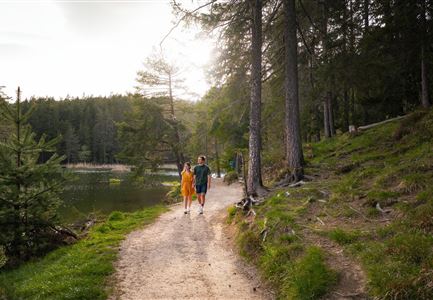
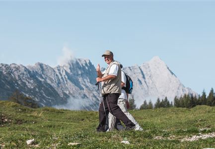
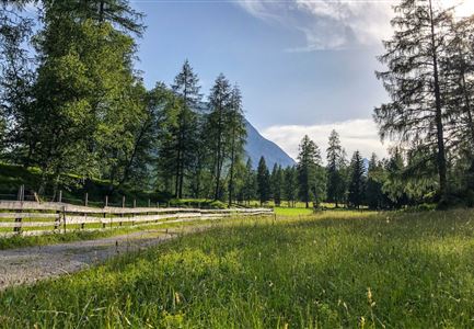
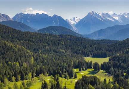
Day 1 of the IML 3-day Unicorn Walk begins, amongst others, with the 10km Runst Walk, which starts at 07.00 at the ErlebnisWelt Alpenbad Leutasch. The route heads along the Leutasch valley in a northerly direction to the Gasthof Hubertushof. The trail is mostly flat with a few undemanding climbs. Altogether the Runst Walk is an easy hike where participants can appreciate the impressive Leutasch valley to its full advantage.


Features & Characteristics

Start Point

ErlebnisWelt Alpenbad Leutasch

End Point

ErlebnisWelt Alpenbad Leutasch

Similar Tour Suggestions

Brunschkopf_inkl_Logo.jpg

Hiking

Brunschkopf viewing platform via Geiernest from Seefeld, return via Wildmoosalm

Length

9,20 km

Duration

03:15 h

Uphill

316 hm

Downhill

313 hm

Altitude

1493 hm

Difficulty

Medium

Wandern am Brunschkopf

Hiking

Brunschkopf viewing platform via Wildmoosalm from Leutasch

Length

12,80 km

Duration

04:30 h

Uphill

441 hm

Downhill

438 hm

Altitude

1493 hm

Difficulty

Medium

Einhornmarsch-Teilnehmer mit Seefeld-Beutel laufen an der Leutascher Ache entlang.jpg

Running

IML Unicorn March Day 1: 42km - Hike around the Arnspitze Mountain

Length

42,00 km

Duration

11:00 h

Uphill

820 hm

Altitude

1382 hm

Difficulty

Medium

Sonnenaufgang am Brunschkopf

Hiking

Circular hike to the Brunschkopf viewing platform starting in Mösern

Length

12,70 km

Duration

04:00 h

Uphill

382 hm

Altitude

1498 hm

Difficulty

Medium

Friedensglocke im Herbst - Frau steht am Geländer und blickt ins Inntal beim Sonnenuntergang- Sonnenstern an der Glocke.jpg

Hiking

Peace Bell Hiking Trail

Length

4,60 km

Duration

01:30 h

Uphill

92 hm

Downhill

96 hm

Altitude

1292 hm

Difficulty

Easy

Muggenmoosalm

Hiking

Circular hike from Seefeld to the Lottenseehütte alpine hut & Muggenmoosalm alpine hut

Length

15,30 km

Duration

04:30 h

Uphill

554 hm

Altitude

1398 hm

Difficulty

Medium

Aussichtsplattform Kurblhang - Leutasch.jpg

Hiking

Circular hiking trail viewpoint Kurblhang

Length

3,50 km

Duration

01:30 h

Uphill

181 hm

Altitude

1277 hm

Difficulty

Medium

Höhenweg Leutasch_Aussichtsplattform Höhenweg.jpg

Hiking

Circular hike to the viewing platform on the Höhenweg - Runst

Length

7,40 km

Duration

02:00 h

Uphill

128 hm

Altitude

1156 hm

Difficulty

Easy