We use cookies for your personalized browsing experience, to personalize content and ads, to provide social media features, and to analyze traffic to our website. We also share information about your use of our website with our social media, advertising and analytics partners. Our partners may combine this information with other data that you have provided to them or that they have collected as part of your use of the Services. (incl. US providers)

Start Point

Mittenwald gorge

End Point

Leutasch Kirchplatzl

Difficulty

Easy

Total Distance

15,00 km

Descent Meters

400 m

Highest Point

1110 m

Total Time

04:30 h

Map & Elevation Profile

Start Point

Mittenwald gorge

End Point

Leutasch Kirchplatzl

Difficulty

Easy

Total Distance

15,00 km

Descent Meters

400 m

Highest Point

1110 m

Total Time

04:30 h

Hiking

Best Time

Jan

Feb

Mar

Apr

May

Jun

Jul

Aug

Sep

Oct

Nov

Dec

Pilgrimage trail

Route: Geisterklamm - Zenzn- und Itzlkapelle - Ahrn - Gasse - Ganghofermuseum - Plaik - Obern / Moos - Katzenloch

Directions:

At the beginning of the natural spectacle of the Leutasch Klamm offers the choice of either via the Gletscherschliff inn (currently closed - no restaurant service until further notice!) or past the Höllkapelle (a historic Jacob's chapel dedicated to pilgrims), each to reach the entrance of the picturesque Leutasch valley.

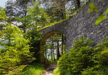
Then follow the road to the ruins of a former (17th century) imposing border bulwark. The path then leads to the right over the bridge past the Zenzn and Itzl chapel to the Unterleutasch church, dedicated to St. John, which invites you to linger. From now on, a few meters after the church, the trail continues to the left along the crystal-clear Leutascher Ache.

In Ahrn the path changes to the other side of the valley to the still very original hamlets of Lehner and Gasse, where several of the typical farms of the valley welcome the pilgrim. Leaving the hamlet of Gasse, the Way of St. James offers an impressive view of the Hohe Munde and the Church of St. Magdalene in the foreground, which is reached after

Read More...

Features & Characteristics

Start Point

Mittenwald gorge

End Point

Leutasch Kirchplatzl

Similar Tour Suggestions

Sonnenuntergang über dem Inntal (Blick von der Friedensglocke - Querformat).jpg

Hiking

Jakobsweg Etappe 12: from Buchen to Telfs/Mötz

Length

23,70 km

Duration

06:00 h

Uphill

711 hm

Altitude

1310 hm

Difficulty

Medium

Porta Claudia Scharnitz - Tor mit kleinen Tannen.jpg

Hiking

Via Romea - pilgrimage trail through Europe

Length

21,50 km

Duration

06:30 h

Uphill

317 hm

Downhill

637 hm

Altitude

1198 hm

Difficulty

Easy