We use cookies for your personalized browsing experience, to personalize content and ads, to provide social media features, and to analyze traffic to our website. We also share information about your use of our website with our social media, advertising and analytics partners. Our partners may combine this information with other data that you have provided to them or that they have collected as part of your use of the Services. (incl. US providers)

Start Point

Seefeld Railway Station

End Point

Seefeld Railway Station

Difficulty

Easy

Total Distance

3,60 km

Descent Meters

25 m

Ascent Meters

24 m

Highest Point

1208 m

Total Time

01:00 h

Map & Elevation Profile

Start Point

Seefeld Railway Station

End Point

Seefeld Railway Station

Difficulty

Easy

Total Distance

3,60 km

Descent Meters

25 m

Ascent Meters

24 m

Highest Point

1208 m

Total Time

01:00 h

Hiking

Best Time

Jan

Feb

Mar

Apr

May

Jun

Jul

Aug

Sep

Oct

Nov

Dec

Thematic route

Hiking tour

+4

This one-hour walk starts at the Information Office in Seefeld, right by the Seefeld train station. Walk through the Pedestrian Zone to St. Oswald Parish Church – it’s worth visiting this late Gothic church! To the left of the church, the path leads up to the Parish Hill (Pfarrhügel), following the Seefeld Kreuzweg with its 14 stations. At the top, you’ll find the Apostles Circle, built in 2000. Huge boulders, weighing up to 23 tons and arranged in a specific star formation, represent the Last Supper. The writer Winfried Werner Linde had the idea to create this powerful spot as a peaceful meeting place for people of all world religions. Information boards provide more details.

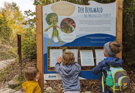
From the Parish Hill, the path leads down to Seefeld Wildsee, which you can already see from above. Follow the path along the right side of the lake. At Waldbad Café Sonja, take the left trail into a small forest, where you can often spot squirrels and birds. This path goes through the Reith Moor, where eleven information boards give details about the lake, moor, plants,

Read More...

Features & Characteristics

Start Point

Seefeld Railway Station

End Point

Seefeld Railway Station

Family-friendly

Yes

Loop tour

Yes

Similar Tour Suggestions

Hölzernes Herz am Mühlberg in Scharnitz - Perspektive durch Gebüsch (1).jpg

Hiking

Hike to the Mühlberg Scharnitz

Length

6,50 km

Duration

02:30 h

Uphill

334 hm

Downhill

328 hm

Altitude

1315 hm

Difficulty

Medium

Pleisenhütte im Karwendel - Blick auf die Pleisenspitze.jpg

Hiking

Hike to the Pleisenspitze Summit, 2,569 m

Length

20,10 km

Duration

10:30 h

Uphill

1600 hm

Altitude

2569 hm

Difficulty

Hard

Radtour ins Gaistal - Bruecke am Eingang vom Gaistal

Hiking

Bike & Hike lake Seebensee & lake Drachensee

Length

31,00 km

Duration

04:45 h

Uphill

820 hm

Downhill

815 hm

Altitude

1897 hm

Difficulty

Medium

Wildmoosalm im Sommer - Alm aus der Distanz mit Gewässer im Vordergrund.jpg

Hiking

Circular hiking trail Wildmoos-Hochmoos

Length

10,00 km

Duration

04:00 h

Uphill

437 hm

Altitude

1544 hm

Difficulty

Medium

Wanderung auf die Birkkarspitze - Scharnitz (65).jpg

Hiking

Hike from the Karwendelhaus to the Hinterautal

Length

9,20 km

Duration

07:00 h

Uphill

883 hm

Altitude

2642 hm

Difficulty

Hard

Rotmoosalm im Gaistal beim Sonnenuntergang (C) Olympiaregion Seefeld

Hiking

High Pasture alpine hut hike above the Gaistal Valley

Length

24,40 km

Duration

09:45 h

Uphill

1263 hm

Downhill

1264 hm

Altitude

2132 hm

Difficulty

Medium

Falkenhütte neu

Hiking

Karwendelmarsch 52 km

Length

52,00 km

Duration

19:00 h

Uphill

2281 hm

Downhill

2217 hm

Altitude

1903 hm

Difficulty

Hard

Wanderung ins Gaistal - Wanderer schauen auf Gaistalalm.jpg

Hiking

Hike to the Gaistalalm & Tillfussalm alpine hut

Length

9,70 km

Duration

03:00 h

Uphill

229 hm

Altitude

1404 hm

Difficulty

Easy