We use cookies for your personalized browsing experience, to personalize content and ads, to provide social media features, and to analyze traffic to our website. We also share information about your use of our website with our social media, advertising and analytics partners. Our partners may combine this information with other data that you have provided to them or that they have collected as part of your use of the Services. (incl. US providers)

Start Point

Seefeld center

End Point

Seefeld center

Difficulty

Easy

Total Distance

10,30 km

Descent Meters

264 m

Highest Point

1352 m

Total Time

02:30 h

Map & Elevation Profile

Start Point

Seefeld center

End Point

Seefeld center

Difficulty

Easy

Total Distance

10,30 km

Descent Meters

264 m

Highest Point

1352 m

Total Time

02:30 h

Hiking

Best Time

Jan

Feb

Mar

Apr

May

Jun

Jul

Aug

Sep

Oct

Nov

Dec

Hiking tour

Circular hike

+3

Route: Bahnhof – Klosterstraße – Seekirchl – Sportalm – Seefeld Sports Arena – Seewald – Möserer Tal – Seewaldalm – Gschwandtkopfmahder – Reither Auland – Gstoagweg - Wildseepromenade – Innsbrucker Straße – Bahnhof

Parking and public transport:

P8 "Apothekenparkplatz" and numerous other parking options.

By train to Seefeld train station.

Find all connections in real time with the Mobility-App "wegfinder".

Directions:

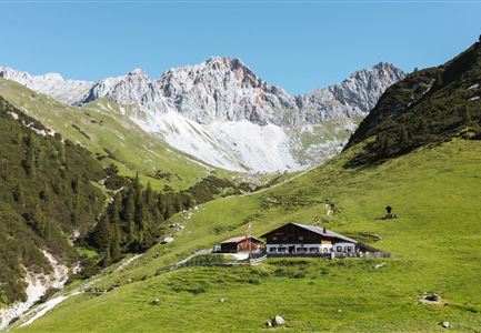
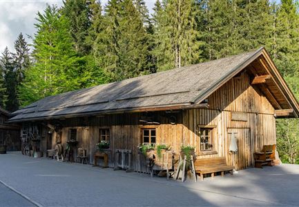
Over a good ten kilometers, this leisurely circular hike makes a scenic loop around the Seefelder Gschwandtkopf and rewards you along the way through the Möserer Tal and the Reither Auland with impressive Inntal views and picturesque power spots.

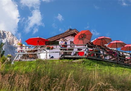
From the starting point at Seefeld train station, head west along Klosterstraße through the historic pedestrian zone. Cross the traffic circle in the direction of Seekirchl, past the Seefeld Olympic pool and follow the underpass to the Sportalm on the Gschwandtkopf - first stop for refreshments! 

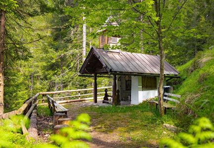
Then turn left past the Sportalm and the sports field, follow the path through the Seefeld Sports Arena. After the sports field, continue walking in ascending serpentines along the so-called summer trail through the Seewald forest. At the next clearing, on the right hand side, far below the

Read More...

Features & Characteristics

Start Point

Seefeld center

End Point

Seefeld center

Family-friendly

Yes

Loop tour

Yes

Similar Tour Suggestions

Hohe Gleirsch_2.jpg

Hiking

Bike & Hike Hoher Gleirsch Summit, 2,492 m

Length

31,00 km

Duration

09:30 h

Uphill

1772 hm

Altitude

2492 hm

Difficulty

Hard

Panoramarestaurant Rosshütte

Hiking

Hiking to the Seefelder Spitze, 2,221 m and Seefelder Joch

Length

7,40 km

Duration

04:30 h

Uphill

1007 hm

Altitude

2221 hm

Difficulty

Medium

Open
Wasserfall beim Karwendelsteg mit angeschnittenem Baum.jpg

Hiking

Circular hiking traill Karwendelsteg/Karwendelschlucht

Length

8,60 km

Duration

03:00 h

Uphill

352 hm

Altitude

1144 hm

Difficulty

Medium

Brunnsteinspitze mit Gipfelkreuz - Scharnitz (4).jpg

Hiking

Hike to the Brunnsteinspitze Summit, 2,180 m

Length

12,70 km

Duration

08:30 h

Uphill

1454 hm

Altitude

2180 hm

Difficulty

Hard

Karwendelmarsch Sportalpen 2 Teilnehmer Naturhintergrund 2019-Scharnitz (119).jpg

Hiking

Karwendel March 35 km

Length

35,00 km

Duration

12:30 h

Uphill

1664 hm

Downhill

1358 hm

Altitude

1843 hm

Difficulty

Hard

Porta Claudia Ruine - Scharnitz (1).jpg

Hiking

Scharnitz cultural hiking trail

Length

3,00 km

Duration

01:00 h

Uphill

53 hm

Altitude

1005 hm

Difficulty

Easy

Hämmermoosalm

Hiking

Hike to the Hämmermoosalm

Length

4,00 km

Duration

01:30 h

Uphill

170 hm

Altitude

1417 hm

Difficulty

Easy

Ahrn Hochfluder Weidach.jpg

Hiking

Hike Hoher Sattel

Length

10,60 km

Duration

04:00 h

Uphill

524 hm

Altitude

1620 hm

Difficulty

Medium