We use cookies for your personalized browsing experience, to personalize content and ads, to provide social media features, and to analyze traffic to our website. We also share information about your use of our website with our social media, advertising and analytics partners. Our partners may combine this information with other data that you have provided to them or that they have collected as part of your use of the Services. (incl. US providers)

Start Point

Naturpark Info Center Scharnitz (P2)

End Point

Naturpark Info Center Scharnitz (P2)

Difficulty

Medium

Total Distance

21,20 km

Descent Meters

505 m

Ascent Meters

498 m

Highest Point

1261 m

Total Time

06:30 h

Status

Closed

Map & Elevation Profile

Start Point

Naturpark Info Center Scharnitz (P2)

End Point

Naturpark Info Center Scharnitz (P2)

Difficulty

Medium

Total Distance

21,20 km

Descent Meters

505 m

Ascent Meters

498 m

Highest Point

1261 m

Total Time

06:30 h

Status

Closed

Hiking

Best Time

Closed

Jan

Feb

Mar

Apr

May

Jun

Jul

Aug

Sep

Oct

Nov

Dec

Hiking tour

Hut hikes

+2

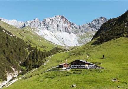
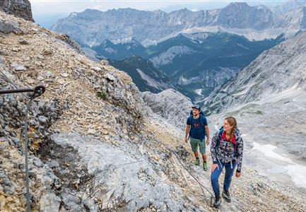
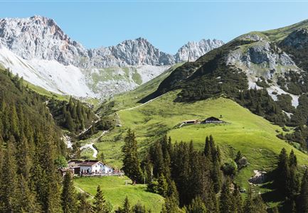
From the Nature Park Information Center in Scharnitz, the route follows Hinterautalstraße to Haus Taxi Mair. Turn right there, but keep left at the intersection and follow the road until it becomes a gently ascending forest path. After about 15 minutes, you'll reach the turnoff to the Isarsteig. At the end of the Isarsteig, the path continues onto the Nederweg, past the Scharnitzer Alm, to the entrance of the Gleirschklamm Gorge. A narrow trail leads through the gorge, which is only suitable for experienced and sure-footed hikers. At the end of the trail, the path joins a forest road. Turn left here and continue to the Gleirschtal forest road. From there, head right up the valley towards Möslalm. The return journey can be via the forest road or the same path back through the gorge to the starting point.

Features & Characteristics

Start Point

Naturpark Info Center Scharnitz (P2)

End Point

Naturpark Info Center Scharnitz (P2)

Loop tour

Yes

Similar Tour Suggestions

Bodenalm Stall mit Brunnen

Hiking

Circular hiking traill to the Bodenalm alpine hut

Length

8,40 km

Duration

02:30 h

Uphill

180 hm

Altitude

1198 hm

Difficulty

Easy

Wandern zum Gasthof Brücke

Hiking

Tour of lawn "toler"

Length

4,20 km

Duration

00:45 h

Uphill

13 hm

Altitude

1072 hm

Difficulty

Easy

Spaziergang mit Hund in Unterleutasch - Mann läuft mit Hund entlang von Bäumen Aufnahme Richtung Sonne.jpg

Hiking

Hike to Unterleutasch

Length

9,10 km

Duration

02:30 h

Uphill

3 hm

Downhill

77 hm

Altitude

1174 hm

Difficulty

Easy

Partially open
Sonnenaufgang im Karwendel_Speckkarspitze

Hiking

Bike & Hike Speckkarsptitze, 2,621 m

Length

44,00 km

Duration

11:00 h

Uphill

1794 hm

Altitude

2621 hm

Difficulty

Hard

Scharnitz - Wanderung zur Birzlkapelle - Kapelle mit Pausenbank.jpg

Hiking

Hike to the Birzlkapelle chapel

Length

4,60 km

Duration

01:30 h

Uphill

175 hm

Altitude

1130 hm

Difficulty

Easy

Rauthhütte in Leutasch

Hiking

Circular hiking to Rauthhütte alpine hut & Inntal Valley view

Length

6,20 km

Duration

03:00 h

Uphill

439 hm

Altitude

1599 hm

Difficulty

Medium

Reith - Wanderung Frau Häusl Kapelle - Frau Häusl Kapelle mit Farn im Vordergrund.jpg

Hiking

On the rosary walking trail to the Frau Häusl chapel

Length

1,20 km

Duration

01:15 h

Uphill

100 hm

Altitude

1220 hm

Difficulty

Easy

Bikepause an der Isarquelle.jpg

Hiking

Bike & Hike Halleranger house - Halleranger alm

Length

38,00 km

Duration

06:00 h

Uphill

832 hm

Altitude

1768 hm

Difficulty

Medium