From a good source: The Isar is a Tyrolean
The source of the river Isar
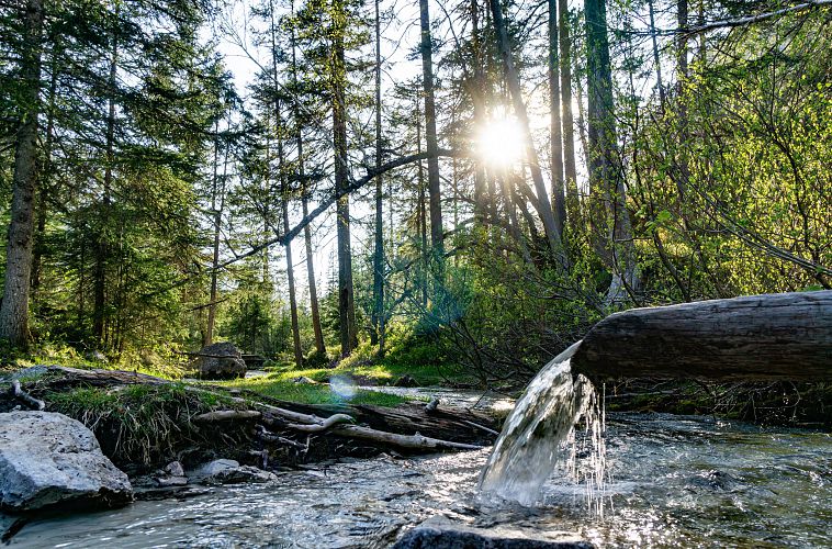
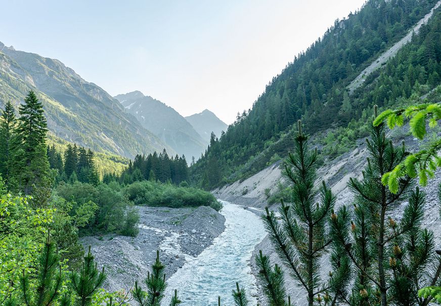
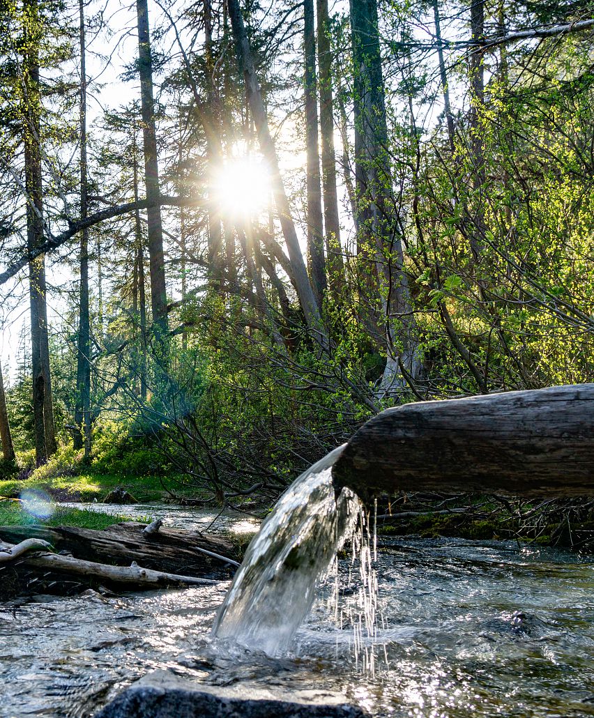
Its journey is as long as it is turbulent, as eventful as it is exciting. It begins at an altitude of 1162 metres and on its European journey, each drop of water takes around 30 hours to flow from its source into the Danube and then 30 days to flow into the Black Sea. The Isar, Bavaria's fourth largest river, is Tyrolean for its first ~15 kilometres. In the Karwendel Mountains, just across the Austrian border on the high plateau of the Region Seefeld, the clear water gushes from three springs. It is a tranquil cradle at the foot of impressive peaks.
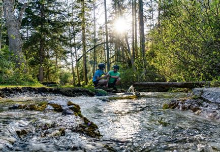
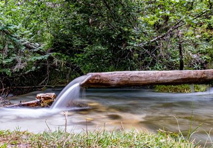
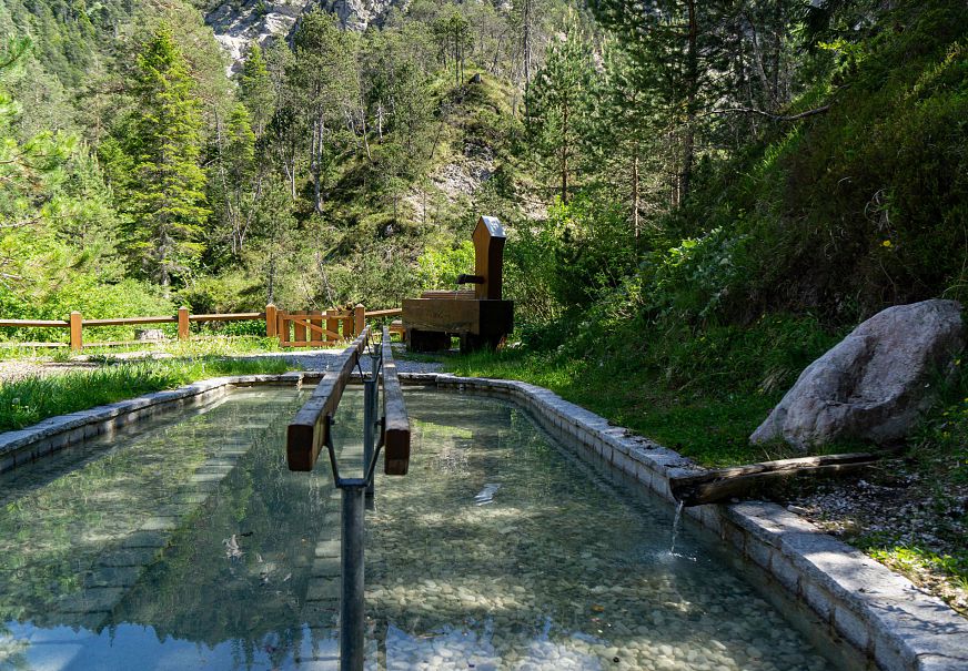
The source of the Isar is in the municipality of Scharnitz in Tyrol, surrounded by the mighty Karwendel mountain massif. Even today, the river is still part of the culture and history of the Alpine region. The source of the Isar, also known as "by the rivers", can be reached from Scharnitz on foot, by bike or e-bike. The crystal clear, blue water accompanies visitors along the beautiful Hinterau valley. At the source of the Isar, there are various water exit points that flow all year round. Information boards, a pretty resting place and a natural path leading directly to the springs characterise this scientific gem.
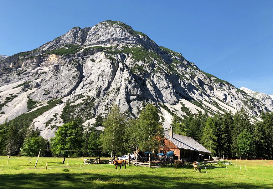
A short distance ahead, and framed by wonderful maple trees, the rustic Kastenalm invites you to stop for a snack. Besides families and sports enthusiasts, photographers are also known to make their way into the unspoilt valley to capture the natural spectacle with their cameras. In the Karwendel area you can relax among a variety of fauna and flora. The upper Isar is also a well-known route for canoeists and paddlers. The excellent quality of the water and the magnificent scenery are sure to persuade you to take a break in the heart of the Alps.
Unique experiences
