We use cookies for your personalized browsing experience, to personalize content and ads, to provide social media features, and to analyze traffic to our website. We also share information about your use of our website with our social media, advertising and analytics partners. Our partners may combine this information with other data that you have provided to them or that they have collected as part of your use of the Services. (incl. US providers)

Start Point

Nature Park Information Center Scharnitz

End Point

Nature Park Information Center Scharnitz

Difficulty

Easy

Total Distance

28,20 km

Descent Meters

323 m

Ascent Meters

323 m

Highest Point

1227 m

Total Time

06:00 h

Map & Elevation Profile

Start Point

Nature Park Information Center Scharnitz

End Point

Nature Park Information Center Scharnitz

Difficulty

Easy

Total Distance

28,20 km

Descent Meters

323 m

Ascent Meters

323 m

Highest Point

1227 m

Total Time

06:00 h

Hiking

Best Time

Jan

Feb

Mar

Apr

May

Jun

Jul

Aug

Sep

Oct

Nov

Dec

Hiking tour

Hut hikes

Route: Scharnitz Nature Park Information Center - Gleirschhöhe - Isarursprung - Kastenalm - Isarursprung - Gleirschhöhe - Scharnitz Nature Park Information Center

Parking and public transport:

P2 "Karwendelparkplatz Länd".

By train to Scharnitz station (10 minutes walk to the starting point).

You can find all connections in real time with the Mobility-App "wegfinder".

Directions:

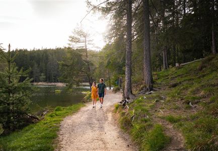
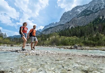
From the Nature Park Info Center Scharnitz (parking lot P2) on the Hinterautal road always straight ahead in the direction of Hinterautal. After about 2.5 km the road becomes a forest path. Follow this path until you reach the so-called Gleirschhöhe (lookout point with cross). Then turn left and continue hiking in the direction of Isarursprung/Kastenalm. After a short downhill stretch, you reach the actual valley floor and now hike mostly along the crystal-clear Isar to the source of the Isar. From there it is another 2 km to the Kastenalm, which is open during the summer months.

Alpine emergency call:

Call: 140

Features & Characteristics

Refreshment stops

Start Point

Nature Park Information Center Scharnitz

End Point

Nature Park Information Center Scharnitz

Similar Tour Suggestions

Brunnsteinhütte

Hiking

Hike to the Brunnsteinhütte

Length

6,30 km

Duration

04:00 h

Uphill

588 hm

Altitude

1523 hm

Difficulty

Medium

Durch die Gleirschklamm - Scharnitz (1).jpg

Hiking

Circular hike through the Gleirsch Gorge and over the Zäunlkopf

Length

17,90 km

Duration

06:45 h

Uphill

907 hm

Altitude

1744 hm

Difficulty

Medium

Closed
Porta Claudia Scharnitz - Tor mit Weg.jpg

Hiking

Circular hiking trail Porta Claudia

Length

2,50 km

Duration

01:00 h

Uphill

125 hm

Downhill

120 hm

Altitude

1085 hm

Difficulty

Easy

Wandern zum Gasthof Brücke

Hiking

Tour of lawn "toler"

Length

4,20 km

Duration

00:45 h

Uphill

13 hm

Altitude

1072 hm

Difficulty

Easy

Wildmoosalm im Sommer - Alm aus der Distanz mit Gewässer im Vordergrund.jpg

Hiking

Circular hiking trail Wildmoos-Hochmoos

Length

10,00 km

Duration

04:00 h

Uphill

437 hm

Altitude

1544 hm

Difficulty

Medium

Bienenlehrpfad Reith - Infotafel am Bienenhotel (1).jpg

Hiking

Hiking bee trail

Length

2,50 km

Duration

01:00 h

Uphill

72 hm

Altitude

1185 hm

Difficulty

Easy

Gleirschklamm - Scharnitz (17).jpg

Hiking

Hike through the Gleirschklamm to the Möslalm

Length

21,20 km

Duration

06:30 h

Uphill

505 hm

Downhill

498 hm

Altitude

1261 hm

Difficulty

Medium

Closed
Reith im Frühling bei Morgenstimmung - Drohnenaufnahme Kirche mit Blick ins Inntal.jpg

Hiking

Cultural circular walking path Reith

Length

4,57 km

Duration

01:30 h

Uphill

113 hm

Altitude

1126 hm

Difficulty

Easy