Start Point

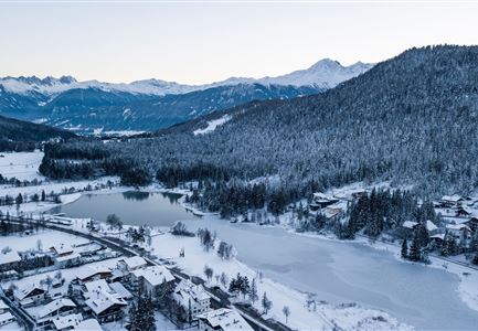
Leutasch Weidachsee

End Point

Leutasch Katzenkopfhütte

Difficulty

Medium

Total Distance

2,90 km

Descent Meters

245 m

Highest Point

1360 m

Total Time

01:15 h

Status

Open

Map & Elevation Profile

Start Point

Leutasch Weidachsee

End Point

Leutasch Katzenkopfhütte

Difficulty

Medium

Total Distance

2,90 km

Descent Meters

245 m

Highest Point

1360 m

Total Time

01:15 h

Status

Open

Hiking

Best Time

Open

Jan

Feb

Mar

Apr

May

Jun

Jul

Aug

Sep

Oct

Nov

Dec

Winter walking

In good weather, a detour to the panoramic viewpoint at Katzenkopf (Trail No. 34 from the Seewald district) is highly recommended. At the top, you’ll be rewarded with breathtaking panoramic views and local delicacies at the hut Katzenkopfhütte (1360 m).

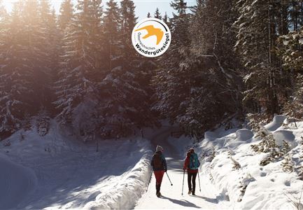
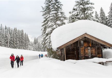
From Weidachsee, continue towards Hotel Quellenhof, follow the road on the right towards Weidach, and after about 200 meters, turn right (opposite Haus Bergkristall) onto the road towards Katzenkopf. After the small bridge, the path goes slightly uphill, and at the fork, bear right (do not go into the dead end). At the next intersection, keep left, continue straight, and after the last houses, turn left into the forest. Follow the trail uphill through the woods, and shortly before reaching the hut Katzenkopfhütte, turn right twice in quick succession. You will then reach the destination of this extension.

For a bit of action at the end, you can rent a sled at the base station in advance and enjoy a fifteen-minute ride down into the valley. If you prefer to save your energy for the coming days, you can take the

Read More...

Similar Tour Suggestions

Drohnenbild Gschwandtkopf und Schanze bei Sonneaufgang.jpg

Hiking

W2: Winter Circular Hike around the mountain Gschwandtkopf

Length

10,50 km

Duration

03:30 h

Uphill

226 hm

Downhill

222 hm

Altitude

1342 hm

Difficulty

Medium

Open
drohnenaufnahme_neuschnee_27.11._leutasch_blick_richtung_hohe_munde_1.jpg

Hiking

W10: Winter hike through the Leutasch Valley

Length

26,40 km

Duration

07:00 h

Uphill

173 hm

Downhill

177 hm

Altitude

1179 hm

Difficulty

Easy

Open
100000 Lichter-Weg Seefeld_Paar steht auf Pfarrhügel_Reither Spitze in der Distanz.jpg

Hiking

100.000 Lights Path

Length

1,70 km

Duration

00:30 h

Uphill

30 hm

Downhill

39 hm

Altitude

1206 hm

Difficulty

Easy

Closed
Winterwandern in der Region Seefeld_Drohnenaufnahme_Mann und Frau laufen entlang des Ufers des Wildsees (1).jpg

Hiking

W7: Winter circular hike Reith - Seefeld - Reith

Length

8,70 km

Duration

02:30 h

Uphill

118 hm

Downhill

121 hm

Altitude

1200 hm

Difficulty

Easy

Open
Luftaufnahme Wildsee im Winter - Seefeld.jpg

Hiking

W5: Winter Circular Hike Wildsee, Pfarrhügel & Seekirchl

Length

4,70 km

Duration

01:15 h

Uphill

22 hm

Altitude

1181 hm

Difficulty

Easy

Open
Winterwandern-am-Wildmoos-Plateau-(1)_WaLogo.jpg

Hiking

W1: Winter Circular Hike Seefeld-Mösern-Wildmoos

Length

13,00 km

Duration

03:30 h

Uphill

247 hm

Altitude

1333 hm

Difficulty

Medium

Open
Hofladenrunde im Winter_zwei Frauen bei Thoamlhof laufen zum Hofladen.jpg

Hiking

Winter Circular Hike Leutasch Farm Shop

Length

11,10 km

Duration

03:10 h

Uphill

111 hm

Downhill

108 hm

Altitude

1194 hm

Difficulty

Easy

Open
Weitwandern Etappe 2 Teilnehmer am Weg bei Huette

Hiking

Stage 2: From Leutasch to Mösern – Tyrol’s 1. Winter Multi-day Hike

Length

16,00 km

Duration

05:00 h

Uphill

402 hm

Downhill

324 hm

Altitude

1393 hm

Difficulty

Medium

Open