Start Point

Music pavilion Leutasch

End Point

Information office Mösern

Difficulty

Medium

Total Distance

16,00 km

Descent Meters

402 m

Ascent Meters

324 m

Highest Point

1393 m

Total Time

05:00 h

Status

Open

Map & Elevation Profile

Start Point

Music pavilion Leutasch

End Point

Information office Mösern

Difficulty

Medium

Total Distance

16,00 km

Descent Meters

402 m

Ascent Meters

324 m

Highest Point

1393 m

Total Time

05:00 h

Status

Open

Hiking

Best Time

Open

Jan

Feb

Mar

Apr

May

Jun

Jul

Aug

Sep

Oct

Nov

Dec

Winter walking

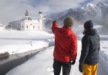
The second day’s section begins directly at the end point of the first stage. From the music pavilion in Leutasch, head back to the main road and follow the sidewalk on the right until the Kreith bus stop. From here, go slightly right a few meters further to the base station of the Katzenkopf lift. Pass the former restaurant Kreithalm on the left, then follow the edge of the forest on the right and continue through the woods along path no. 1 towards Fludertal. A little later, the path turns right onto path no. 3 into Fludertal.

Continue following the path until you reach an open clearing at the Wildmoosalm after about an hour. Just before the Alm, the path turns right into the forest and gently ascends. After some time, you’ll come to an intersection, where you keep to the right towards the Ferienheim Wildmoos (not serviced).

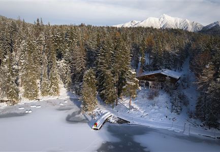
Pass the holiday home and continue straight towards Lottensee. After about 1.5 kilometers, turn left at the signpost and you'll reach the Lottenseehütte. After an optional stop, head back along the forest road to the left (passing the parking lot on

Read More...

Similar Tour Suggestions

Winterwandern Paar Seefeld Möserer Tal Mann zeigt auf Seekirchel.jpg

Hiking

Stage 1: From Seefeld via Reith to Leithen - Seefeld High Plateau Winter Multi-day Hike

Length

16,70 km

Duration

05:00 h

Uphill

266 hm

Downhill

267 hm

Difficulty

Easy

Open
Winterwandern Paar Möserer See Drohnenaufnahme Paar steht am Steg mit Möserer Seestube und Reither Spitze im Hintergrund (1).jpg

Hiking

Stage 5: From Seefeld to Mösern and back to Seefeld via Wildmoos - Seefeld High Plateau Winter Multi-day Hike

Length

14,49 km

Duration

04:15 h

Uphill

247 hm

Downhill

246 hm

Altitude

1345 hm

Difficulty

Easy

Open
Ropferstubm in Buchen bei Mösern - Ausblick

Hiking

W26: Winter Hike from Mösern to the Ropferstub'm

Length

12,20 km

Duration

04:00 h

Uphill

330 hm

Altitude

1314 hm

Difficulty

Easy

Open
Winterwandern Paar Oberer Wiesenweg Aufnahme von Paar von Hinten laufen neben Zaun (1).jpg

Hiking

Stage 4: From Wettersteinhütte to Leutasch – Tyrol’s 1. Winter Multi-day Hike

Length

9,50 km

Duration

03:30 h

Uphill

25 hm

Altitude

1717 hm

Difficulty

Medium

Open
Winterwandern Paar Möserer See Paar steht auf Steg Seitenperspektive.jpg

Hiking

W27: Winter circular hike Möserer See

Length

3,50 km

Duration

01:15 h

Uphill

96 hm

Downhill

100 hm

Altitude

1297 hm

Difficulty

Easy

Open
winterwandern_paar_oberer_wiesenweg_paar_von_vorne_mit_huette.jpg

Hiking

Stage 3: From Burggraben through the Leutasch valley to Weidach - Seefeld High Plateau Winter Multi-day Hike

Length

14,20 km

Duration

04:00 h

Uphill

144 hm

Downhill

57 hm

Altitude

1162 hm

Difficulty

Easy

Open
Zwei Frauen am Winterwandern in Scharnitz.jpg

Hiking

W6: Winter Hike from Seefeld to Scharnitz

Length

8,30 km

Duration

05:00 h

Downhill

211 hm

Altitude

1178 hm

Difficulty

Easy

Closed
Drohnenaufnahme Reith im Winter - Ortszentrum mit Kirche und Reither Spitze im Hintergrund.jpg

Hiking

W33: Winter circular hike Hölltal

Length

5,00 km

Duration

02:00 h

Uphill

192 hm

Downhill

186 hm

Altitude

1303 hm

Difficulty

Medium

Open