We use cookies for your personalized browsing experience, to personalize content and ads, to provide social media features, and to analyze traffic to our website. We also share information about your use of our website with our social media, advertising and analytics partners. Our partners may combine this information with other data that you have provided to them or that they have collected as part of your use of the Services. (incl. US providers)
Start Point

Seekirchl Seefeld

End Point

Seekirchl Seefeld

Difficulty

Hard

Total Distance

55,00 km

Descent Meters

600 m

Status

Closed

Map & Elevation Profile

Start Point

Seekirchl Seefeld

End Point

Seekirchl Seefeld

Difficulty

Hard

Total Distance

55,00 km

Descent Meters

600 m

Status

Closed

Cross-country Skiing

Best Time

Closed

Jan

Feb

Mar

Apr

May

Jun

Jul

Aug

Sep

Oct

Nov

Dec

Ski-nordic-classic

Ski-nordic-skating

+4

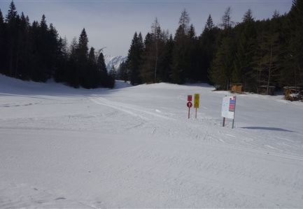
Access to the ski track:

B1 at Seekirchl

Tracks:

B1C1C2B3C11C6B5A5A6A7A9A14 – Bavaria (Riedboden track) – A12A11B9

An overview of the entire cross-country skiing network (incl. trail status) and helpful cross-country skiing information (ticket machines, waxing and service points, changing facilities, ...) can be found in the cross-country skiing report.


Track chracteristics:

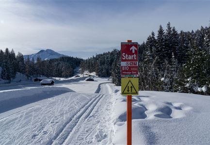
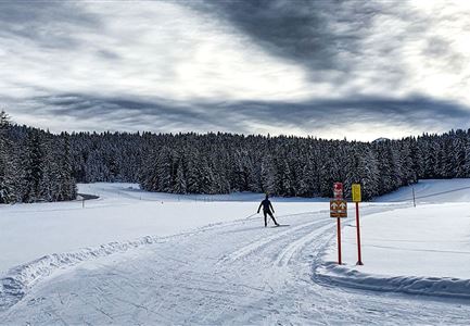
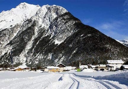
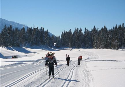
Those who love cross-country skiing will also love the high plateau of the Region Seefeld. The region stands like no other for a unique cross-country skiing experience through untouched nature. The five villages are connected by an extensive network of cross-country trails and endurance cross-country skiers can get to know it on this unique circuit. The route leads from Seekirchl to Wildmoos through eventful woodland, runs through the scenic Leutasch Valley for its entire length, makes a loop on Bavarian soil (depending on the snow conditions, you may have to hike here) and

Read More...

Similar Tour Suggestions

B3 Wildmoos - Skaterin im Wald

Cross-country Skiing

B3 - Wildmoos See

Length

2,90 km

Uphill

49 hm

Altitude

1331 hm

Difficulty

Medium

Closed
A1 Nachtloipe, Paar beim Langlaufen

Cross-country Skiing

A1 - Nachtloipe - flood light trail

Length

3,00 km

Uphill

19 hm

Altitude

1189 hm

Difficulty

Easy

Closed
A4-Muggenmoos-Loipe---Buchen

Cross-country Skiing

A4 - Muggenmoos

Length

1,60 km

Uphill

15 hm

Altitude

1262 hm

Difficulty

Easy

Closed
(c)Olympiaregion-Seefeld-Sebastian-Marko-Ganghoferlauf-Leutasch-(76).jpg

Cross-country Skiing

Race Euroloppet Ganghoferlauf - classic 50 km

Length

50,00 km

Uphill

512 hm

Altitude

1226 hm

Difficulty

Hard

(c)OlympiaregionSeefeld-SebastianMarko-Ganghoferlauf-Leutasch-Jubiläum-(68).jpg

Cross-country Skiing

Race Euroloppet Ganghoferlauf - skating 22 km

Length

22,00 km

Uphill

122 hm

Altitude

1199 hm

Difficulty

Hard

Loipe A7 Gasse Einstieg mit Langlaeuferin

Cross-country Skiing

A7 - Gasse

Length

4,70 km

Uphill

37 hm

Altitude

1121 hm

Difficulty

Easy

Closed
Klassische Langlauf Spur

Cross-country Skiing

B8 - Interalpen Connection West

Length

400 m

Uphill

24 hm

Altitude

1342 hm

Difficulty

Medium

Closed
Loipe bei der Ropferstub'm mit Blick ins Inntal - Moesern-Buchen

Cross-country Skiing

B5 - Katzenloch

Length

5,00 km

Uphill

67 hm

Altitude

1260 hm

Difficulty

Medium

Closed