Start Point

Interalpen-Hotel Tyrol

End Point

Buchen - Interalpen-Hotel Tyrol

Difficulty

Medium

Total Distance

400 m

Descent Meters

24 m

Highest Point

1342 m

Status

Closed

Map & Elevation Profile

Start Point

Interalpen-Hotel Tyrol

End Point

Buchen - Interalpen-Hotel Tyrol

Difficulty

Medium

Total Distance

400 m

Descent Meters

24 m

Highest Point

1342 m

Status

Closed

Cross-country Skiing

Best Time

Closed

Jan

Feb

Mar

Apr

May

Jun

Jul

Aug

Sep

Oct

Nov

Dec

Ski-nordic

Ski-nordic-classic

+3

Access to the ski track:

Interalpen-Hotel Tyrol

Connected tracks:

B6 | C6

An overview of the entire cross-country skiing network (incl. trail status) and helpful cross-country skiing information (ticket machines, waxing and service points, changing facilities, ...) can be found in the cross-country skiing report.

Track characteristics:

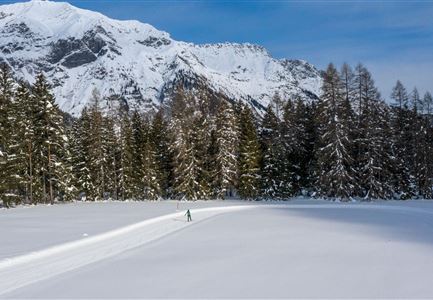
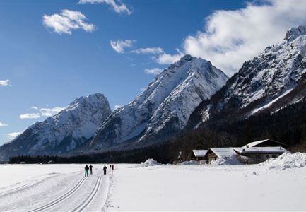
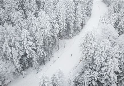
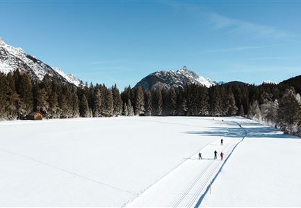
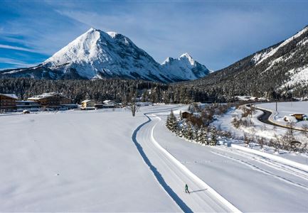
The B8 trail leads beneath Interalpen-Hotel Tyrol before continuing through the forest almost all the way. The B8 serves as an access trail for hotel guests and completes the circuit to the Ropferstub'm inn in both directions. Furthermore, it offers breathtaking views of the Hohe Munde mountain.

Information:

Very snow-reliable trail, but caution is advised on exposed sections where iciness can occur during the late winter season. Watch out for skiers coming in the opposite direction!

Emergency call:

Tel.: 140

Features & Characteristics

Start Point

Interalpen-Hotel Tyrol

End Point

Buchen - Interalpen-Hotel Tyrol

Skating

Yes

Klassisch

Yes

Similar Tour Suggestions

A13 Scharnitz

Cross-country Skiing

A13 - Scharnitz-Klassik

Length

2,00 km

Uphill

32 hm

Altitude

998 hm

Difficulty

Easy

Closed
Loipe A9 Unterleutasch

Cross-country Skiing

A9 - Unterleutasch

Length

13,70 km

Uphill

81 hm

Altitude

1092 hm

Difficulty

Easy

Closed
Seefeld Nachtloipe A7 mit Seekirchl zur Blauen Stunde.jpg

Cross-country Skiing

A1 - Nachtloipe - flood light trail

Length

3,00 km

Uphill

19 hm

Altitude

1189 hm

Difficulty

Easy

Closed
Langlaufen-A4-Muggenmoos-Loipe---Buchen

Cross-country Skiing

A4 - Muggenmoos

Length

1,60 km

Uphill

15 hm

Altitude

1262 hm

Difficulty

Easy

Closed
Loipe bei der Ropferstub'm mit Blick ins Inntal - Moesern-Buchen

Cross-country Skiing

B5 - Katzenloch

Length

5,00 km

Uphill

67 hm

Altitude

1260 hm

Difficulty

Medium

Closed
Loipe A12 - Scharnitz - Luftaufnahme

Cross-country Skiing

A12 - Scharnitz

Length

3,40 km

Uphill

20 hm

Altitude

980 hm

Difficulty

Easy

Closed
A3-C3-C4-C5 in Wildmoos

Cross-country Skiing

C5 - Kaserwald

Length

2,60 km

Uphill

58 hm

Altitude

1388 hm

Difficulty

Hard

Closed
C3 Neuleutasch - Skating in Wildmoos

Cross-country Skiing

C3 – Neuleutasch

Length

5,10 km

Uphill

142 hm

Altitude

1335 hm

Difficulty

Hard

Closed