Tourismusverband Seefeld
We use cookies for your personalized browsing experience, to personalize content and ads, to provide social media features, and to analyze traffic to our website. We also share information about your use of our website with our social media, advertising and analytics partners. Our partners may combine this information with other data that you have provided to them or that they have collected as part of your use of the Services. (incl. US providers)

Start Point

Information office Seefeld

End Point

Scharnitz information centre (parking Länd P2)

Difficulty

Medium

Total Distance

25,30 km

Descent Meters

256 m

Ascent Meters

250 m

Highest Point

1195 m

Total Time

01:15 h

Map & Elevation Profile

Start Point

Information office Seefeld

End Point

Scharnitz information centre (parking Länd P2)

Difficulty

Medium

Total Distance

25,30 km

Descent Meters

256 m

Ascent Meters

250 m

Highest Point

1195 m

Total Time

01:15 h

Cycling

Best Time

Jan

Feb

Mar

Apr

May

Jun

Jul

Aug

Sep

Oct

Nov

Dec

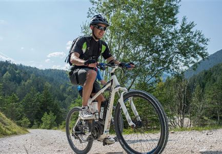
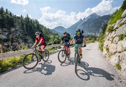
Mountainbike tour

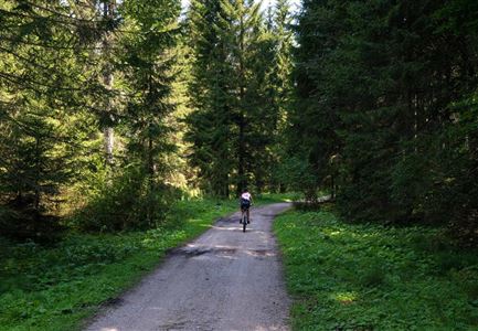
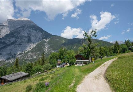
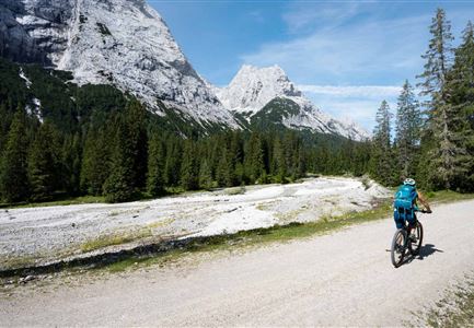
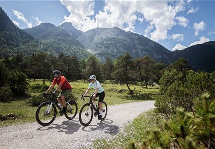
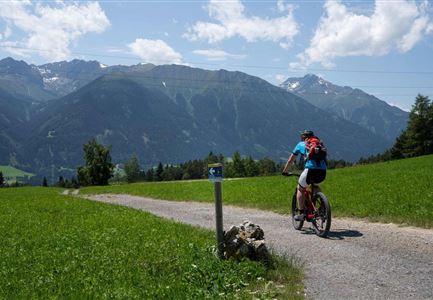
Connecting route between Seefeld and Scharnitz

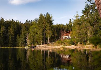
At the beginning, the route leads north to the ÖBB car parks, then left (west) past the Raiffeisenbank onto Olympiastraße. Continue straight ahead until you reach the crossroads and turn right into Leutascher Straße. Follow the main road to the end of Seefeld. After the drag lift "Birkenlift Seefeld" an asphalt road leads right into the forest - follow this road until you reach the Waldgasthaus Triendlsäge. (Tip: On hot days you can cool off here at the Kneipp facility (Armbecken).

After the Waldgasthaus Triendlsäge, follow the gravel path through the Lehenwald. You can optionally turn right to get to Bodenalm. Follow the gravel road until you reach an asphalt road - turn right here and follow it. Shortly before the turn-off to the main road, turn left and follow the path through the village of Gießenbach. After a few minutes you will reach the village of Scharnitz. Follow the Sportplatzweg to the bridge, which crosses the brook. Cross the bridge, which is on the right side and turn left immediately after the bridge into Hirlanda-Ellmann-Weg. Follow this road to Innsbruckerstraße, cross Innsbruckerstraße and turn right after the church

Read More...

Features & Characteristics

Start Point

Information office Seefeld

End Point

Scharnitz information centre (parking Länd P2)

Similar Tour Suggestions

Leutascher Ache im Sommer mit Blick auf die Hohe Munde - Weidach - 1350x1080.jpg

Cycling

Biketour Arnspitzrunde

Length

33,10 km

Duration

03:30 h

Uphill

377 hm

Altitude

1220 hm

Difficulty

Medium

Gravelbiker bei der Wildmoosalm im Sommer

Cycling

Biketour No. 547 Wildmoos-Buchen

Length

8,80 km

Duration

00:25 h

Uphill

184 hm

Downhill

183 hm

Altitude

1346 hm

Difficulty

Medium

Scharnitz - Wanderung Dorfrunde - Weg bei Gießenbach (1).jpg

Cycling

Radwanderroute: Reith - Seefeld - Scharnitz

Length

18,50 km

Duration

01:45 h

Uphill

140 hm

Downhill

320 hm

Altitude

1200 hm

Difficulty

Easy

Möserer See im Frühling - Paar auf Liege vor Möserer Seestube von aus der Entfernung.jpg

Cycling

Biketour Seefeld - Mösern - Wildmoos - Katzenkopf - Fludertal - Seefeld

Length

27,20 km

Duration

04:00 h

Uphill

657 hm

Downhill

651 hm

Altitude

1368 hm

Difficulty

Medium

Katzenkopf (c) Anna Rieder

Cycling

Biketour No. 541 Katzenkopf-Fluder

Length

8,50 km

Duration

01:10 h

Uphill

259 hm

Altitude

1370 hm

Difficulty

Hard

E-Bike-Pause-bei-Huette.jpg

Cycling

Bike-connection No. 546 Mösern-Seefeld

Length

10,10 km

Duration

00:30 h

Uphill

207 hm

Altitude

1292 hm

Difficulty

Medium

Symbolbild Biken

Cycling

Biketour No. 5049 Reith-Kaiserstandrunde

Length

6,60 km

Duration

01:10 h

Uphill

254 hm

Downhill

252 hm

Altitude

1318 hm

Difficulty

Hard

Gravelbike - Anfahrt zur Gaistalalm

Cycling

Bike Trail Tirol Etappe 06: Ehrwald-Scharnitz

Length

40,00 km

Duration

04:00 h

Uphill

990 hm

Downhill

1020 hm

Altitude

1590 hm

Difficulty

Medium