We use cookies for your personalized browsing experience, to personalize content and ads, to provide social media features, and to analyze traffic to our website. We also share information about your use of our website with our social media, advertising and analytics partners. Our partners may combine this information with other data that you have provided to them or that they have collected as part of your use of the Services. (incl. US providers)

Start Point

Katzenkopf Talstation

End Point

Katzenkopf Talstation

Difficulty

Easy

Total Distance

2,10 km

Ascent Meters

220 m

Highest Point

1360 m

Map & Elevation Profile

Start Point

Katzenkopf Talstation

End Point

Katzenkopf Talstation

Difficulty

Easy

Total Distance

2,10 km

Ascent Meters

220 m

Highest Point

1360 m

Cycling

Best Time

Jan

Feb

Mar

Apr

May

Jun

Jul

Aug

Sep

Oct

Nov

Dec

Bikepark

Cycling and mountain biking

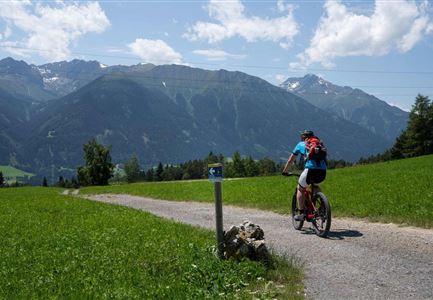
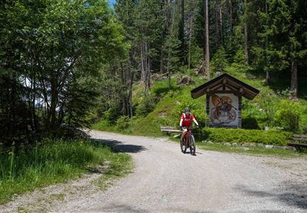
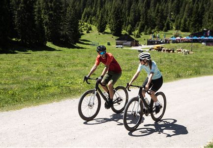
A flow trail with curves, small tables, rollers and easy natural sections. The blue trail is easy to ride for beginners, but also offers advanced riders a lot of flow trail fun from the top to the bottom station.

All info about the trail status here.

Features & Characteristics

Start Point

Katzenkopf Talstation

End Point

Katzenkopf Talstation

Similar Tour Suggestions

Gaistal-Seebensee-Blick-Zugpsitze-und-Seebenalm (c) Anna Rieder

Cycling

Biketour Zugspitz-8

Length

104,00 km

Uphill

1687 hm

Altitude

1596 hm

Difficulty

Medium

Gravelbike - Zum Isarursprung.jpg

Hiking

Bike & Hike Hoher Gleirsch Summit, 2,492 m

Length

31,00 km

Duration

09:30 h

Uphill

1772 hm

Altitude

2492 hm

Difficulty

Hard

Hallerangeralm

Hiking

Bike & Hike Sunntigerspitze Summit, 2,321 m

Length

42,00 km

Duration

09:00 h

Uphill

1396 hm

Altitude

2321 hm

Difficulty

Medium

Pfarrkirche im Sommer - Moesern

Cycling

Biketour No. 5068 Mösern-Brunschkopf

Length

8,90 km

Uphill

281 hm

Altitude

1496 hm

Difficulty

Medium

Kapelle unterhalb vom Karwendelhaus - Scharnitz

Cycling

Bike Trail Tirol Etappe 07: Scharnitz-Achensee

Length

61,50 km

Uphill

1850 hm

Downhill

1880 hm

Altitude

1800 hm

Difficulty

Hard

Wildmoosalm im Sommer - Hütte mit Kuh.jpg

Cycling

Gravelbiketour Wildmoos

Length

20,00 km

Uphill

450 hm

Altitude

1510 hm

Difficulty

Medium

E-Bike-Pause-bei-Huette.jpg

Cycling

Bike-connection No. 546 Mösern-Seefeld

Length

10,10 km

Uphill

207 hm

Altitude

1292 hm

Difficulty

Medium

Gravelbike - Anfahrt zur Gaistalalm

Cycling

Bike Trail Tirol Etappe 06: Ehrwald-Scharnitz

Length

40,00 km

Uphill

990 hm

Downhill

1020 hm

Altitude

1590 hm

Difficulty

Medium