Start Point

Informationszentrum Seefeld

End Point

Wildmoos

Difficulty

Hard

Total Distance

3,80 km

Descent Meters

127 m

Ascent Meters

51 m

Highest Point

1317 m

Total Time

00:35 h

Map & Elevation Profile

Start Point

Informationszentrum Seefeld

End Point

Wildmoos

Difficulty

Hard

Total Distance

3,80 km

Descent Meters

127 m

Ascent Meters

51 m

Highest Point

1317 m

Total Time

00:35 h

Cycling

Best Time

Jan

Feb

Mar

Apr

May

Jun

Jul

Aug

Sep

Oct

Nov

Dec

Mountainbike tour

Route: Gasthof Neuleutasch – Spazierweg nach Seefeld – Bushaltestelle – Wildmoos – Fludertal – Wildmoosalm

Route description:

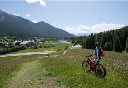
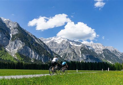
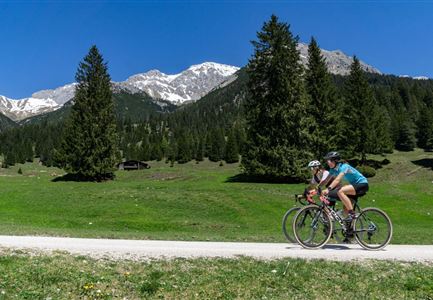
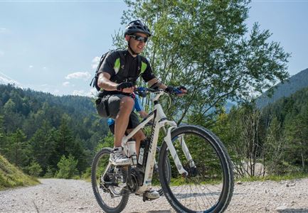
If you cycle from Neuleutasch to Wildmoos, this bike connection offers a wonderful forest ride and delicious rewards at the finish line.

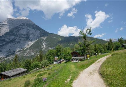
The start of the tour is located directly from the main road between Leutasch and Seefeld, across the road at Gasthof Neuleutasch. First follow the footpath in the direction of Seefeld, until the wide gravel path to Wildmoos branches off to the right (north) at the next bus stop. Pedal up the first half of the route through a moderate ascent to the height of Fludertal. From here the path continues comfortably westwards until you reach the rustic Wildmoosalm - which serves tasty Tyrolean “Gröstl” (panfried potatoes), homemade cakes and delicious Kaiserschmarrn on the sun terrace.

Attention pasture cattle, please keep distance and cross the pasture area calmly and quickly.

Alpine emergency call:

Call: 140

Features & Characteristics

Start Point

Informationszentrum Seefeld

End Point

Wildmoos

Similar Tour Suggestions

Verbindung-Seefeld-Reith Pfarrhügel (c) Anna Rieder

Cycling

Bike-connection No. 5030 Seefeld-Reith

Length

10,20 km

Duration

00:35 h

Uphill

120 hm

Downhill

115 hm

Altitude

1193 hm

Difficulty

Easy

Gravelbike Asphaltstraße mit Bergpanorama - Leutasch

Cycling

Bike-tour Wettersteinrunde

Length

77,80 km

Duration

06:30 h

Uphill

1754 hm

Altitude

1599 hm

Difficulty

Hard

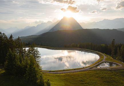
Drohnenaufnahme Gschwandtkopf - Speichersee mit Bäumen und Hohe Munde bei Sonnenuntergang.jpg

Cycling

Biketour No. 545 Gschwandtkopf

Length

6,40 km

Duration

00:45 h

Uphill

267 hm

Downhill

263 hm

Altitude

1486 hm

Difficulty

Hard

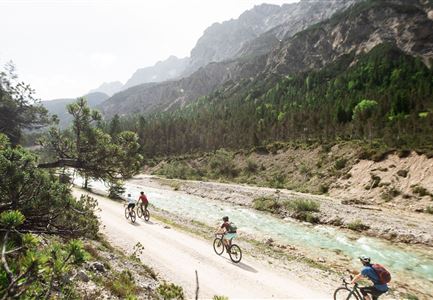
Gravelbiken in der Region Seefeld (12).jpg

Cycling

Gravelbiketour Hinterautal

Length

53,40 km

Duration

05:00 h

Uphill

590 hm

Downhill

578 hm

Altitude

1220 hm

Difficulty

Easy

Gravelbike - Anfahrt zur Gaistalalm

Cycling

Bike Trail Tirol Etappe 06: Ehrwald-Scharnitz

Length

40,00 km

Duration

04:00 h

Uphill

990 hm

Downhill

1020 hm

Altitude

1590 hm

Difficulty

Medium

Pfarrkirche im Sommer - Moesern

Cycling

Biketour No. 5068 Mösern-Brunschkopf

Length

8,90 km

Duration

01:00 h

Uphill

281 hm

Altitude

1496 hm

Difficulty

Medium

Ebiken

Cycling

Biketour No. 588 Reith-Eigenhofen

Length

5,70 km

Duration

00:30 h

Uphill

6 hm

Downhill

528 hm

Altitude

1123 hm

Difficulty

Hard

Closed
Wildmoos Buchen Ropferstubm

Cycling

Biketour No. 5067 Salzbach-Ropferstub'm

Length

16,40 km

Duration

01:00 h

Uphill

472 hm

Downhill

469 hm

Altitude

1312 hm

Difficulty

Medium