Start Point

Information centre Seefeld

End Point

Information centre Seefeld

Difficulty

Easy

Total Distance

53,40 km

Descent Meters

590 m

Ascent Meters

578 m

Highest Point

1220 m

Total Time

05:00 h

Map & Elevation Profile

Start Point

Information centre Seefeld

End Point

Information centre Seefeld

Difficulty

Easy

Total Distance

53,40 km

Descent Meters

590 m

Ascent Meters

578 m

Highest Point

1220 m

Total Time

05:00 h

Cycling

Best Time

Jan

Feb

Mar

Apr

May

Jun

Jul

Aug

Sep

Oct

Nov

Dec

Cycling and mountain biking

Mountainbike tour

+1

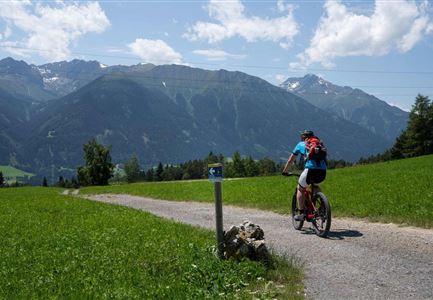
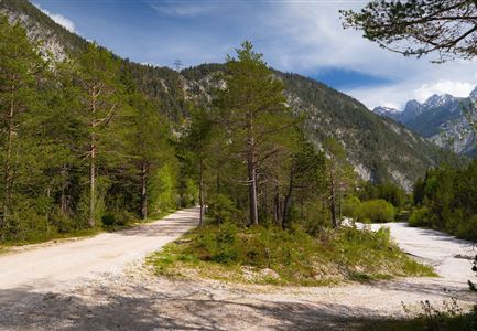
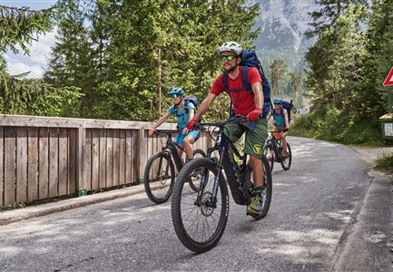
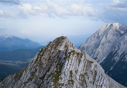
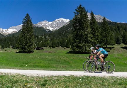
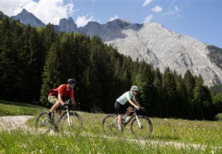
The easy tour to the Kastenalm leads from Seefeld through the picturesque Hinterautal to the source of the Isar and to the rustic alp in the Karwendel. You can look forward to the most beautiful gravel bike trails with a lot of gravel through forests, wide valleys and along the turquoise waters of the Isar. The Kastenalm invites you to a delicious stop, and on hot days you can always take a break by the cool water on the banks of the river. While doing so, you can always enjoy the views of the impressive peaks of the Karwendel Mountains. Overall, only a few easy meters of altitude have to be overcome, which makes the tour a real pleasure round.

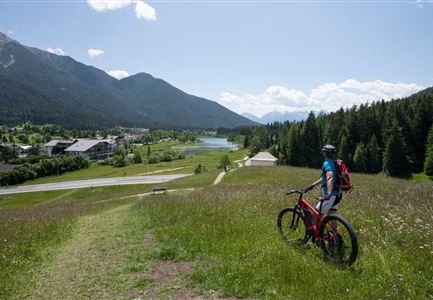
The start of the gravel bike tour is at the information center in Seefeld right next to the train station. From here you ride mostly in the pleasantly shaded forest past Giessenbach to Scharnitz. Here, at the gateway to the Karwendel, you will also find the Information Center and the Holzerhütte Museum, which invite you to visit and provide information about the mountain worlds of the Karwendel, its inhabitants and stories.

From there you

Read More...

Similar Tour Suggestions

Gravelbiker in Scharnitz im Sommer

Cycling

Bike-connection No. 5051 Seefeld-Scharnitz

Length

25,30 km

Duration

01:15 h

Uphill

256 hm

Downhill

250 hm

Altitude

1195 hm

Difficulty

Medium

Wildmoosalm im Sommer - Hütte mit Kuh.jpg

Cycling

Gravelbiketour Wildmoos

Length

20,00 km

Duration

03:15 h

Uphill

450 hm

Altitude

1510 hm

Difficulty

Medium

Gravelbikerin fährt vom Gaistal Richtung Leutasch.jpg

Cycling

Bikeroute No. 5080 Rauthhütte

Length

5,00 km

Duration

01:20 h

Uphill

423 hm

Downhill

416 hm

Altitude

1601 hm

Difficulty

Hard

Gravelbike - Zum Isarursprung.jpg

Hiking

Bike & Hike Hoher Gleirsch Summit, 2,492 m

Length

31,00 km

Duration

09:30 h

Uphill

1772 hm

Altitude

2492 hm

Difficulty

Hard

Sonnenaufgang im Karwendel_Speckkarspitze

Hiking

Bike & Hike Speckkarspitze, 2,621 m

Length

44,00 km

Duration

11:00 h

Uphill

1794 hm

Altitude

2621 hm

Difficulty

Hard

Gravelbike Asphaltstraße mit Bergpanorama - Leutasch

Cycling

Bike-tour Wettersteinrunde

Length

77,80 km

Duration

06:30 h

Uphill

1754 hm

Altitude

1599 hm

Difficulty

Hard

Bike-Tour-durchs-Karwendeltal-aufs-Karwendelhaus

Hiking

Bike & Hike Birkkarspitze Summit, 2,749 m

Length

41,00 km

Duration

09:00 h

Uphill

1800 hm

Altitude

2749 hm

Difficulty

Hard

Gravelbiker auf der Gleirschhoehe im Hinterautal - Naturpark Karwendel

Cycling

Biketour No. 579 Gleirschtal-Möslalm

Length

22,60 km

Duration

02:30 h

Uphill

392 hm

Altitude

1272 hm

Difficulty

Medium