Start Point

Leutasch Weidach

End Point

Leutasch Weidach

Difficulty

Medium

Total Distance

48,50 km

Descent Meters

1071 m

Ascent Meters

1071 m

Highest Point

1510 m

Total Time

05:00 h

Map & Elevation Profile

Start Point

Leutasch Weidach

End Point

Leutasch Weidach

Difficulty

Medium

Total Distance

48,50 km

Descent Meters

1071 m

Ascent Meters

1071 m

Highest Point

1510 m

Total Time

05:00 h

Cycling

Best Time

Jan

Feb

Mar

Apr

May

Jun

Jul

Aug

Sep

Oct

Nov

Dec

Mountainbike tour

Gravelbike tour

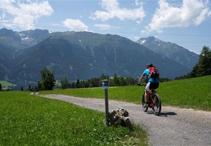
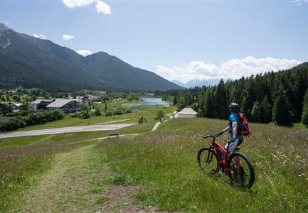
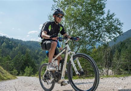
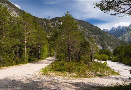
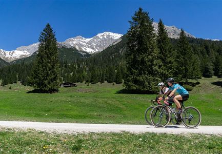
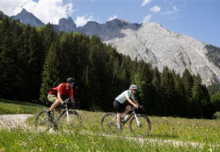
The name keeps its promise: The Adventure Ride is a real adventure for gravel bikers. This round combines two of the most beautiful routes - the Arnspitzrunde and the Wildmoosrunde - to the ultimate gravel bike tour. There is a lot of gravel, fast asphalt, best views, three lakes, many kilometers along refreshing rivers and numerous opportunities to stop at rustic huts and sunny terraces. All this makes this round one of the most beautiful gravel bike tours in the Alps.

The starting point at the Leutasch Weidach Bridge can be reached particularly comfortably by regional public transport (Leutasch Weidach/Zentrum stop, bus with bike carrier from Seefeld), but car drivers will also find sufficient (chargeable) parking spaces at the adjacent parking lot (P8).

From the starting point there are then two options: Either on the finest asphalt through the villages and the Leutasch valley or on the wide gravel road along the turquoise-blue Leutascher Ache. At Reindlau, you will encounter the campsite on both routes and then pedal on (again, either on asphalt or gravel) to the cozy Gasthof Mühle in Burggraben. Of course, you can also enjoy a delicious snack here before continuing on asphalt via Schanz

Read More...

Similar Tour Suggestions

Reith-Wiesenwegrunde (c) Anna Rieder

Cycling

Biketour No. 5031 Reith-Wiesenweg

Length

4,60 km

Duration

00:35 h

Uphill

109 hm

Downhill

110 hm

Altitude

1129 hm

Difficulty

Medium

Verbindung-Seefeld-Reith Pfarrhügel (c) Anna Rieder

Cycling

Bike-connection No. 5030 Seefeld-Reith

Length

10,20 km

Duration

00:35 h

Uphill

120 hm

Downhill

115 hm

Altitude

1193 hm

Difficulty

Easy

Partially open
Ebiken

Cycling

Biketour No. 588 Reith-Eigenhofen

Length

5,70 km

Duration

00:30 h

Uphill

6 hm

Downhill

528 hm

Altitude

1123 hm

Difficulty

Hard

Closed
Scharnitz - Wanderung Dorfrunde - Weg bei Gießenbach (1).jpg

Cycling

Radwanderroute: Reith - Seefeld - Scharnitz

Length

18,50 km

Duration

01:45 h

Uphill

140 hm

Downhill

320 hm

Altitude

1200 hm

Difficulty

Easy

Partially open
Gravelbike - Anfahrt zur Gaistalalm

Cycling

Bike Trail Tirol Etappe 06: Ehrwald-Scharnitz

Length

40,00 km

Duration

04:00 h

Uphill

990 hm

Downhill

1020 hm

Altitude

1590 hm

Difficulty

Medium

Gravelbiker in Scharnitz im Sommer

Cycling

Bike-connection No. 5051 Seefeld-Scharnitz

Length

25,30 km

Duration

01:15 h

Uphill

256 hm

Downhill

250 hm

Altitude

1195 hm

Difficulty

Medium

Gravelbiker auf der Gleirschhoehe im Hinterautal - Naturpark Karwendel

Cycling

Biketour No. 579 Gleirschtal-Möslalm

Length

22,60 km

Duration

02:30 h

Uphill

392 hm

Altitude

1272 hm

Difficulty

Medium

E-Bike-Pause-bei-Huette.jpg

Cycling

Bike-connection No. 546 Mösern-Seefeld

Length

10,10 km

Duration

00:30 h

Uphill

207 hm

Altitude

1292 hm

Difficulty

Medium