We use cookies for your personalized browsing experience, to personalize content and ads, to provide social media features, and to analyze traffic to our website. We also share information about your use of our website with our social media, advertising and analytics partners. Our partners may combine this information with other data that you have provided to them or that they have collected as part of your use of the Services. (incl. US providers)

Start Point

Parking lot Weidachbrücke (P8)

End Point

Inn Brücke

Difficulty

Easy

Total Distance

8,70 km

Descent Meters

3 m

Ascent Meters

76 m

Highest Point

1205 m

Status

Partially open

Map & Elevation Profile

Start Point

Parking lot Weidachbrücke (P8)

End Point

Inn Brücke

Difficulty

Easy

Total Distance

8,70 km

Descent Meters

3 m

Ascent Meters

76 m

Highest Point

1205 m

Status

Partially open

Cycling

Best Time

Partially open

Jan

Feb

Mar

Apr

May

Jun

Jul

Aug

Sep

Oct

Nov

Dec

Family holidays

Attraction

+1

Attention: Part of the Achweg is closed from parking lot P13 'Puitbach/Ahrn' to the campsite due to construction work. A detour via road L14 (Leutascher Straße) is available.

Route: Parking lot Weidachbrücke (P8) - adventure playground Leutascher Ache - Ahrn - climbing area Flämenwandl - Reindlau (camping site) - turnoff Gasthof Brücke - Gasthof Brücke

Route description:
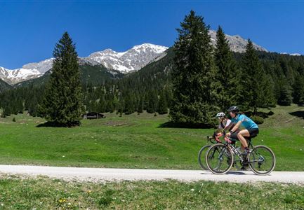
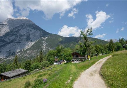
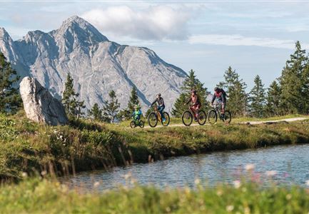
This family-friendly bike tour traverses the scenic Leutasch Valley from the starting point at the Weidachbrücke parking lot (P8) for almost its entire length, visiting many family-friendly experiences along the way and finally rewarding you at Gasthof Brücke with tasty delicacies and refreshments, ice cream specialties, yet another children's playground, a barefoot trail and a family photo spot for lasting memories. The entire route is newly signposted and equipped with emergency call boards and rescue points for added safety.
With only one road crossing, the entire route runs without any ascents along the turquoise-blue Leutascher Ache. Not far from the starting point at the Weidachbrücke there are also two bike service and rental points. On the shady and wide gravel roads along the Ache, families with children can enjoy a particularly safe and versatile family bike adventure.

Directly from the Weidach bridge, start northeast on

Read More...

Features & Characteristics

Start Point

Parking lot Weidachbrücke (P8)

End Point

Inn Brücke

Similar Tour Suggestions

Gaistal

Cycling

Biketour Tillfussalm alpine hut

Length

9,60 km

Uphill

174 hm

Altitude

1358 hm

Difficulty

Easy

Leutascher Ache im Sommer - Drohnenaufnahme Kurve im Fluss (1).jpg

Cycling

Biketour - Adventure Ride

Length

48,50 km

Uphill

1071 hm

Altitude

1510 hm

Difficulty

Medium

Partially open
Scharnitz - Wanderung Dorfrunde - Weg bei Gießenbach (1).jpg

Cycling

Radwanderroute: Reith - Seefeld - Scharnitz

Length

18,50 km

Uphill

140 hm

Downhill

320 hm

Altitude

1200 hm

Difficulty

Easy

Katzenkopf (c) Anna Rieder

Cycling

Biketour No. 541 Katzenkopf-Fluder

Length

8,50 km

Uphill

259 hm

Altitude

1370 hm

Difficulty

Hard

Symbolbild Biken

Cycling

Biketour No. 5049 Reith-Kaiserstandrunde

Length

6,60 km

Uphill

254 hm

Downhill

252 hm

Altitude

1318 hm

Difficulty

Hard

Pfarrkirche im Sommer - Moesern

Cycling

Biketour No. 5068 Mösern-Brunschkopf

Length

8,90 km

Uphill

281 hm

Altitude

1496 hm

Difficulty

Medium

Familie beim Radfahren um den Kaltwassersee - Seefeld

Cycling

Biketour No. 5027 Rosshütte

Length

10,80 km

Uphill

570 hm

Downhill

5 hm

Altitude

1751 hm

Difficulty

Hard

Gravelbiker auf der Gleirschhoehe im Hinterautal - Naturpark Karwendel

Cycling

Biketour No. 579 Gleirschtal-Möslalm

Length

22,60 km

Uphill

392 hm

Altitude

1272 hm

Difficulty

Medium