Start Point
Leutasch Gaistal parking Salzbach (P5)
End Point
Rotmoosalm
Difficulty
Hard
Total Distance
20,10 km
Descent Meters
838 m
Ascent Meters
834 m
Highest Point
2032 m
Total Time
02:30 h
Cycling
Best Time
Jan
Feb
Mar
Apr
May
Jun
Jul
Aug
Sep
Oct
Nov
Dec
Mountainbike tour
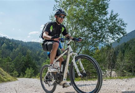
Caution: The route is partly very steep with very rough gravel and only recommended for very experienced bikers. When grazing cattle, please keep your distance and cross the grazing area calmly and quickly.
Throught the idyllic Gaistal to the Rotmoosalm
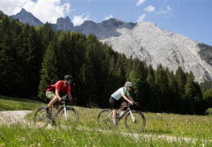
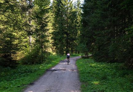
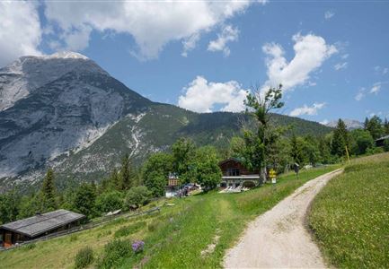
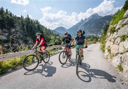
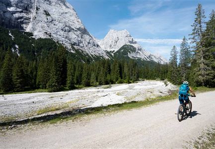
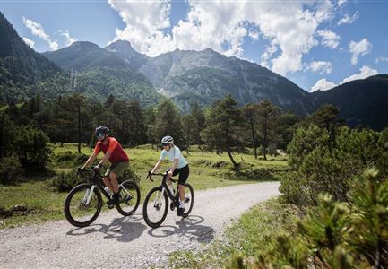
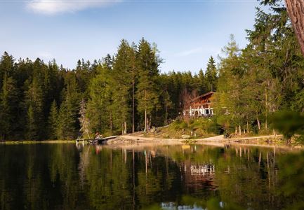
The tour leads from the Salzbach car park (P5) along the river Leutascher Ache through the idyllic Gaistal valley. At the junction Gaistalalm turn right onto the forest path and the winding and steep ascent, always following the signs, to the Rotmoosalm (2.030). The Rotmoosalm is located below the Schönberg summit with a wonderful view of the surrounding mountain ranges. On this route it is advisable to return to the starting point in a concentrated and careful manner. To get back to the starting point / parking lot, take the same way back.
Attention pasture cattle, please keep distance and cross the pasture area calmly and quickly.
Stamina
Technique
Start Point
Leutasch Gaistal parking Salzbach (P5)
End Point
Rotmoosalm
Similar Tour Suggestions