Start Point

Leutasch - Alpenbad

End Point

Leutasch - Alpenbad

Difficulty

Hard

Total Distance

8,70 km

Descent Meters

169 m

Highest Point

1224 m

Status

Closed

Map & Elevation Profile

Start Point

Leutasch - Alpenbad

End Point

Leutasch - Alpenbad

Difficulty

Hard

Total Distance

8,70 km

Descent Meters

169 m

Highest Point

1224 m

Status

Closed

Cross-country Skiing

Best Time

Closed

Jan

Feb

Mar

Apr

May

Jun

Jul

Aug

Sep

Oct

Nov

Dec

Ski-nordic-classic

Ski-nordic-skating

+2

Trail Entry:
Parking lot P21 "soccer field"

Trail Character:
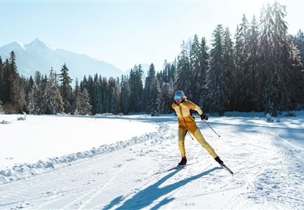
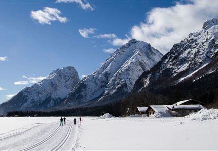
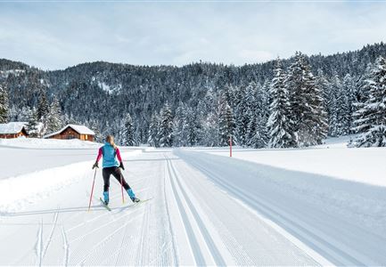
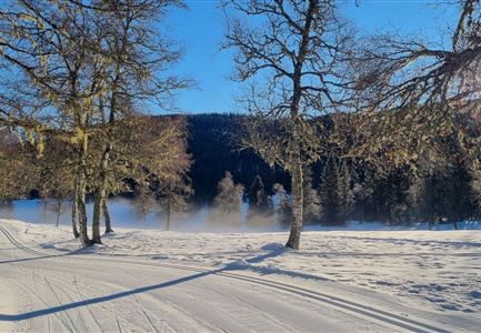
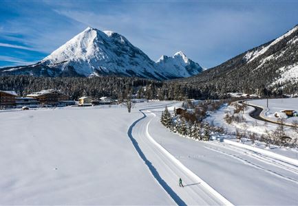
The C9 Plaik Trail covers a challenging 8.7 kilometers and runs north of the Parish Church of Oberleutasch, heading westward. After passing the Kühtaierhof, a steep climb awaits, followed by moderate ascents leading to a scenic viewpoint and a stamping station. The reward is a stunning panorama and breathtaking views stretching across Leutasch as far as the eye can see. The descent to the Plaik/Klamm area takes place over open fields. Here, the Jausenalm at Lärchenhang invites you to a cozy sunlit stop. At the Klamm turning point, the trail is relatively easy, with flat sections and only slight ascents and descents.
Finally, the trail leads back to the starting point in Kirchplatzl via a fast descent.

Connecting Trails:
A6 Alpenbad and A7 Gasse
For an overview of the entire trail network (including trail conditions) and helpful cross-country skiing information (ticket machines, waxing and service points, changing facilities, etc.), refer to the trail report.

Features & Characteristics

Start Point

Leutasch - Alpenbad

End Point

Leutasch - Alpenbad

Skating

Yes

Klassisch

Yes

Similar Tour Suggestions

Langlaufen in der Region Seefeld - Langläuferin im Wildmoos.jpg

Cross-country Skiing

A3 - Torfstich

Length

1,80 km

Uphill

11 hm

Altitude

1317 hm

Difficulty

Easy

Closed
Loipe A9 Unterleutasch

Cross-country Skiing

A9 - Unterleutasch

Length

13,70 km

Uphill

81 hm

Altitude

1092 hm

Difficulty

Easy

Closed
Langlaufen-A4-Muggenmoos-Loipe---Buchen

Cross-country Skiing

A4 - Muggenmoos

Length

1,60 km

Uphill

15 hm

Altitude

1262 hm

Difficulty

Easy

Closed
Leutasch Katzenkopf

Cross-country Skiing

C4 - Katzenkopf

Length

2,20 km

Uphill

45 hm

Altitude

1373 hm

Difficulty

Hard

Closed
Langlaufen auf der C11

Cross-country Skiing

C11 - Lottensee

Length

3,40 km

Uphill

99 hm

Altitude

1332 hm

Difficulty

Hard

Closed
Luftaufnahme der Loipe A10 Weidach mit Langlaeuferin und Hoher Munde.jpg

Cross-country Skiing

A10 – Weidach

Length

1,70 km

Uphill

14 hm

Altitude

1120 hm

Difficulty

Easy

Closed
Langlaufen in der Region Seefeld - Klassisch - Ferienheim Wildmoos (3).jpg

Cross-country Skiing

B3 - Wildmoos See

Length

2,90 km

Uphill

49 hm

Altitude

1331 hm

Difficulty

Medium

Closed
C10-Mundeknie-Loipe---Leutasch

Cross-country Skiing

C10 – Mundeknie

Length

2,50 km

Uphill

84 hm

Altitude

1263 hm

Difficulty

Hard

Closed