Start Point

Parking lot P5 'Salzbach' in Gaistal

End Point

Parking lot P5 'Salzbach' in Gaistal

Difficulty

Medium

Total Distance

15,00 km

Descent Meters

970 m

Ascent Meters

970 m

Highest Point

2133 m

Total Time

06:30 h

Map & Elevation Profile

Start Point

Parking lot P5 'Salzbach' in Gaistal

End Point

Parking lot P5 'Salzbach' in Gaistal

Difficulty

Medium

Total Distance

15,00 km

Descent Meters

970 m

Ascent Meters

970 m

Highest Point

2133 m

Total Time

06:30 h

Running

Best Time

Jan

Feb

Mar

Apr

May

Jun

Jul

Aug

Sep

Oct

Nov

Dec

Trailrunning

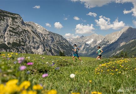
This trail run starts at the last parking lot (P5) in Gaistal, near the "Gaistal/Salzbach" bus stop. The route first follows the Leutascher Ache downstream before crossing the river at the next bridge. From there, a forest road climbs uphill, transitioning into a narrow hiking trail leading to the Wettersteinhütte. The final section to the Wangalm is a steep path.

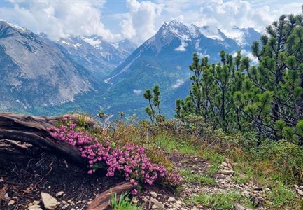
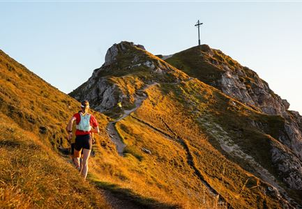
Along the way, you may encounter sheep and cows grazing in the meadows. Keep left at the memorial stone and follow the signs for the Südwandsteig towards Rotmoosalm. At the top, you'll be rewarded with stunning views and fantastic running trails. After a short break at Rotmoosalm, the descent begins.

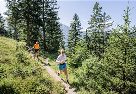
The first part is steep and can be technically challenging when wet. The trail then continues through the forest, leading down to the Hämmermoosalm. From there, it's an easy run back to the starting point.

The estimated running time is a guideline and depends on personal fitness.

Features & Characteristics

Start Point

Parking lot P5 'Salzbach' in Gaistal

End Point

Parking lot P5 'Salzbach' in Gaistal

Similar Tour Suggestions

Lärchenwald bei Reith_Wald mit Sonnenstern.jpg

Running

Around the Gschwandtkopf Trailrun Route

Length

10,30 km

Duration

02:00 h

Uphill

343 hm

Downhill

332 hm

Altitude

1334 hm

Difficulty

Easy

Partially open
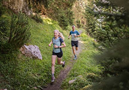
Trailrunning in der Region Seefeld - Trail durch den Wald.jpg

Running

Trailrun Route around the Hochleithenkopf

Length

16,50 km

Duration

06:00 h

Uphill

760 hm

Altitude

1249 hm

Difficulty

Easy

Partially open
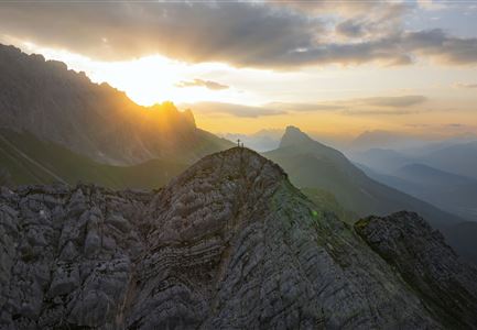
Drohnenaufnahme Gaistal im Sommer - Sonnenaufgang Predigtstuhl - Blick Richtung Gehrenspitze.jpg

Running

Wetterstein Trail Run Loop

Length

25,00 km

Duration

10:30 h

Uphill

1490 hm

Altitude

2230 hm

Difficulty

Hard

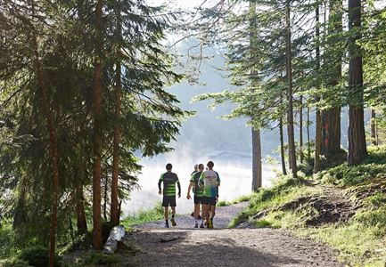
Nordic Summer Camp 2021 - Laeufer bei Laufrunde um den Moeserer See.jpg

Running

Trail Run Loop Möserer See

Length

9,20 km

Duration

02:00 h

Uphill

320 hm

Altitude

1500 hm

Difficulty

Easy

Schöne Aussicht vom Zäunlkopf.jpg

Running

Trail Run Loop to Oberbrunnalm via Zäunlkopf

Length

12,40 km

Duration

06:00 h

Uphill

880 hm

Altitude

1740 hm

Difficulty

Medium

Karwendelmarsch Trainingscamp (5) (2).jpg

Running

Karwendel Run 52 km (Karwendelmarsch)

Length

52,00 km

Duration

06:00 h

Uphill

2158 hm

Downhill

2192 hm

Altitude

1900 hm

Difficulty

Hard

Trailrunning in der Region Seefeld - Läuferinnen auf Trail im Wald - Gaistal.jpg

Running

Steckenweg Trailrun-Route

Length

13,00 km

Duration

04:30 h

Uphill

480 hm

Altitude

1550 hm

Difficulty

Easy

Trailrunning auf der Seefelder Spitze - - Läuferin kurz vor dem Gipfelkreuz (1).jpg

Running

Seefelder Spitze Trailrun Route

Length

11,70 km

Duration

06:30 h

Uphill

1000 hm

Altitude

2214 hm

Difficulty

Hard