Start Point

Parking P12 "Klamm"

End Point

Parking P12 "Klamm"

Difficulty

Hard

Total Distance

25,00 km

Descent Meters

1490 m

Ascent Meters

1490 m

Highest Point

2230 m

Total Time

10:30 h

Map & Elevation Profile

Start Point

Parking P12 "Klamm"

End Point

Parking P12 "Klamm"

Difficulty

Hard

Total Distance

25,00 km

Descent Meters

1490 m

Ascent Meters

1490 m

Highest Point

2230 m

Total Time

10:30 h

Running

Best Time

Jan

Feb

Mar

Apr

May

Jun

Jul

Aug

Sep

Oct

Nov

Dec

Trailrunning

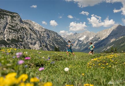
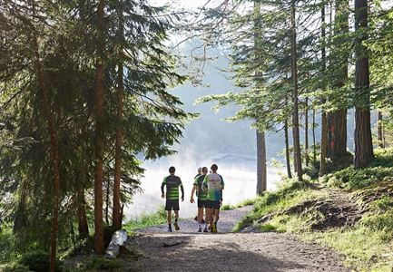
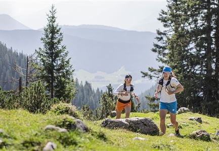
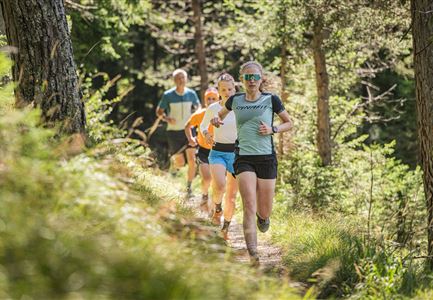
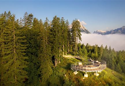
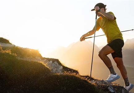
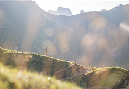
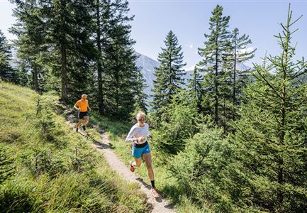
The loop starts at parking lot P12 Klamm in Leutasch or at the Klamm bus stop and follows the river upstream into the Gaistal, passing the Gaistalalm and Tillfussalm. The initially easy forest road to the Gaistalalm is worth it, as a steep ascent to the Predigtstuhl follows, offering experienced trail runners a spectacular summit experience. From there, the trail continues along the Südwandsteig, which impresses with breathtaking panoramas and runnable sections leading to the Schönberg.

A junction allows for a detour to the Rotmoosalm, an excellent spot for a break. However, the main route continues along the Südwandsteig to the Wangalm or Wettersteinhütte, where more stunning views and well-runnable trails await. After a well-earned snack at one of the huts, the descent follows the Wackeren Steig, a technically demanding trail that requires full concentration. For a more relaxed finish, the forest road offers an easier alternative for the return to the valley.

Similar Tour Suggestions

Karwendelmarsch Trainingscamp (5) (2).jpg

Running

Karwendel Run 52 km (Karwendelmarsch)

Length

52,00 km

Duration

06:00 h

Uphill

2158 hm

Downhill

2192 hm

Altitude

1900 hm

Difficulty

Hard

Nordic Summer Camp 2021 - Laeufer bei Laufrunde um den Moeserer See.jpg

Running

Trail Run Loop Möserer See

Length

9,20 km

Duration

02:00 h

Uphill

320 hm

Altitude

1500 hm

Difficulty

Easy

Trailrunning in der Region Seefeld - Läuferinnen auf Trail bergauf - Leutasch.jpg

Running

Gaistal Trailrun loop to Hämmermoosalm, Wettersteinhütte, and Wangalm

Length

10,30 km

Duration

04:00 h

Uphill

520 hm

Altitude

1721 hm

Difficulty

Easy

Trailrunning in der Region Seefeld - Gruppe auf Trail im Wald.jpg

Running

Trail Run Loop Alter Möserer Weg

Length

8,00 km

Duration

03:00 h

Uphill

470 hm

Altitude

1230 hm

Difficulty

Easy

Brunschkopf während der Goldenen Stunde.jpg

Running

Brunschkopf Trailrun Route

Length

11,80 km

Duration

02:30 h

Uphill

334 hm

Downhill

330 hm

Altitude

1499 hm

Difficulty

Medium

Trailrunning auf der Seefelder Spitze - Läufer rennt im Sonnenuntergang.jpg

Running

Leutasch Trail (Salomon Zugspitz Ultratrail)

Length

68,00 km

Duration

16:00 h

Uphill

2870 hm

Downhill

3370 hm

Altitude

2049 hm

Difficulty

Hard

Trailrunning in der Region Seefeld - Läuferin auf dem Südwandsteig bergab.jpg

Running

Gaistal-Rotmoosalm Trail Run Loop

Length

15,00 km

Duration

06:30 h

Uphill

970 hm

Altitude

2133 hm

Difficulty

Medium

Trailrunning in der Region Seefeld - Läuferinnen auf Trail im Wald - Gaistal.jpg

Running

Steckenweg Trailrun-Route

Length

13,00 km

Duration

04:30 h

Uphill

480 hm

Altitude

1550 hm

Difficulty

Easy