Tourismusverband Seefeld
We use cookies for your personalized browsing experience, to personalize content and ads, to provide social media features, and to analyze traffic to our website. We also share information about your use of our website with our social media, advertising and analytics partners. Our partners may combine this information with other data that you have provided to them or that they have collected as part of your use of the Services. (incl. US providers)

Start Point

Parking Lot P10 "Weidachbrücke" Leutasch

End Point

Bus Stop "Leutasch Burggraben"

Difficulty

Easy

Total Distance

9,10 km

Descent Meters

3 m

Ascent Meters

77 m

Highest Point

1174 m

Total Time

02:30 h

Map & Elevation Profile

Start Point

Parking Lot P10 "Weidachbrücke" Leutasch

End Point

Bus Stop "Leutasch Burggraben"

Difficulty

Easy

Total Distance

9,10 km

Descent Meters

3 m

Ascent Meters

77 m

Highest Point

1174 m

Total Time

02:30 h

Hiking

Best Time

Jan

Feb

Mar

Apr

May

Jun

Jul

Aug

Sep

Oct

Nov

Dec

Hiking tour

Village walks

+1

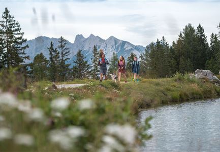
The Achweg No. 5 starts directly at parking lots P8 and P10, following the Leutascher Ache in a peaceful and scenic setting. The gentle sound of the river accompanies the path as it winds through a mix of meadows and light forests – a relaxed route, perfect for an easy and enjoyable walk.

In Ahrn, a bridge is crossed before turning left to rejoin the Achweg. The river remains in sight, and at the Flämenwandl family climbing area, it's worth taking a moment to look up – climbers are often seen making their way up the rock face.

The path continues toward the campground in Raindlau, where a short 150-meter stretch along the main road is necessary before reconnecting with the Achweg. The river stays close by, offering plenty of scenic spots to take a short break and enjoy the surroundings.

Eventually, the trail leads to Burggraben/Unterleutasch, where two welcoming guesthouses provide a great opportunity for a break: Gasthof Brücke and Gasthof Mühle. Both offer delicious regional dishes and a cozy, friendly atmosphere.

For the return, simply take Bus 431 from the Leutasch Burggraben GH Mühle or

Read More...

Similar Tour Suggestions

Scharnitz - Wanderung zur Adlerkanzel - Blick auf die Isar.jpg

Hiking

Circular village walk Scharnitz - Gießenbach

Length

6,10 km

Duration

01:30 h

Uphill

42 hm

Altitude

1013 hm

Difficulty

Easy

Familien-Weitwanderung im Gaistal - Familie spielt Engelchen.jpg

Hiking

Stage 3: To Hämmermoosalm & Wrap Up – Leutasch 3-Day Hut Hike for Families

Length

6,50 km

Uphill

10 hm

Downhill

840 hm

Altitude

2132 hm

Difficulty

Medium

Sonnenaufgang am Brunschkopf

Hiking

Circular hike to the Brunschkopf viewing platform starting in Mösern

Length

12,70 km

Duration

04:00 h

Uphill

382 hm

Altitude

1498 hm

Difficulty

Medium

Solsteinhaus Etappe 2 Ziel & 3 Start

Hiking

Hike to the Solsteinhaus

Length

22,00 km

Duration

08:00 h

Uphill

940 hm

Downhill

975 hm

Altitude

1803 hm

Difficulty

Hard

Herbst am Möserer See - Frau am Ufer (Edit 2).jpg

Hiking

Circular walking path lake Möserer See & Kalvarienberg

Length

3,00 km

Duration

01:00 h

Uphill

78 hm

Downhill

82 hm

Altitude

1291 hm

Difficulty

Easy

Möserer See im Frühling - Paar läuft entlang des Seeweges.jpg

Hiking

Circular walking path from Seefeld to the lake Möserer See

Length

8,80 km

Duration

02:30 h

Uphill

231 hm

Altitude

1297 hm

Difficulty

Easy

Pleisenhütte im Karwendel - Blick auf die Pleisenspitze.jpg

Hiking

Hike to the Pleisenspitze Summit, 2,569 m

Length

20,10 km

Duration

10:30 h

Uphill

1600 hm

Altitude

2569 hm

Difficulty

Hard

Wildsee im Herbst - Drohnenaufnahme - Blick auf Golfplatz und See mit Bergpanorama.jpg

Hiking

Circular hike from Seefeld to Auland & Reith

Length

9,30 km

Duration

02:45 h

Uphill

139 hm

Downhill

141 hm

Altitude

1199 hm

Difficulty

Easy