We use cookies for your personalized browsing experience, to personalize content and ads, to provide social media features, and to analyze traffic to our website. We also share information about your use of our website with our social media, advertising and analytics partners. Our partners may combine this information with other data that you have provided to them or that they have collected as part of your use of the Services. (incl. US providers)

Start Point

Valley Station Rosshütte

End Point

Valley Station Rosshütte

Difficulty

Hard

Total Distance

4,40 km

Descent Meters

502 m

Ascent Meters

464 m

Highest Point

2364 m

Total Time

03:00 h

Map & Elevation Profile

Start Point

Valley Station Rosshütte

End Point

Valley Station Rosshütte

Difficulty

Hard

Total Distance

4,40 km

Descent Meters

502 m

Ascent Meters

464 m

Highest Point

2364 m

Total Time

03:00 h

Hiking

Best Time

Jan

Feb

Mar

Apr

May

Jun

Jul

Aug

Sep

Oct

Nov

Dec

Hiking

Hiking tour

+4

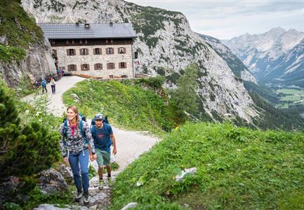
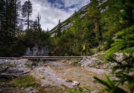
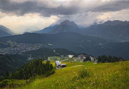
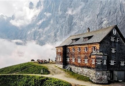
This challenging hike begins with a ride on the funicular of the Bergbahnen Rosshütte to Seefelder Joch at 2,064 meters. The actual hike covers nearly five kilometers and 500 meters of elevation gain. Along the way, you will summit the Seefelder Spitze (2,220 m) and Reither Spitze (2,373 m). After about three hours of hiking, you will reach the Nördlinger Hütte at 2,230 meters. The descent takes about an hour to reach the Härmelekopfbahn mountain station, where you can conveniently take the cable car back to the valley.

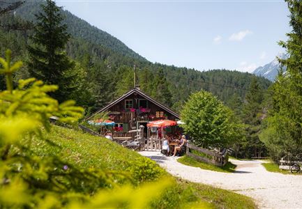
For those seeking more adventure, you can opt for the Panorama via ferrata from the middle station to the Seefelder Spitze on the way up. On the way down, instead of taking the cable car, you can choose the two-hour hiking trail from Härmelekopf back down, with a possible stop at Reitherjoch-Alm (1,500 m).

Features & Characteristics

Similar Tour Suggestions

Durch die Gleirschklamm - Scharnitz (1).jpg

Hiking

Circular hike through the Gleirsch Gorge and over the Zäunlkopf

Length

17,90 km

Duration

06:45 h

Uphill

907 hm

Altitude

1744 hm

Difficulty

Medium

Herbst am Möserer See - Frau am Ufer (Edit 2).jpg

Hiking

Circular walking path lake Möserer See & Kalvarienberg

Length

3,00 km

Duration

01:00 h

Uphill

78 hm

Downhill

82 hm

Altitude

1291 hm

Difficulty

Easy

Blick ueber Wildmoos nach Seefeld.jpg

Hiking

Circular tour around the Brunschkopf

Length

13,10 km

Duration

04:00 h

Uphill

275 hm

Downhill

272 hm

Altitude

1369 hm

Difficulty

Easy

Muggenmoosalm

Hiking

Circular hike from Seefeld to the Lottenseehütte alpine hut & Muggenmoosalm alpine hut

Length

15,30 km

Duration

04:30 h

Uphill

554 hm

Altitude

1398 hm

Difficulty

Easy

Kurblhang - Leutasch (2).jpg

Hiking

Circular hiking trail viewpoint Kurblhang

Length

3,50 km

Duration

01:30 h

Uphill

181 hm

Altitude

1277 hm

Difficulty

Medium

Wanderweg Hochleithenkopf - Ausblick ins Inntal.jpg

Hiking

Hike to the Hochleithenkopf

Length

8,20 km

Duration

02:30 h

Uphill

200 hm

Altitude

1187 hm

Difficulty

Easy

Wettersteinhuette (l) und Wangalm (r) im Wettersteingebirge (2).jpg

Hiking

Circular hike Wettersteinhütte alpine hut - Wangalm alpine hut - Hämmermoosalm alpine hut

Length

10,20 km

Duration

04:15 h

Uphill

562 hm

Altitude

1756 hm

Difficulty

Medium

Personen bei der Rotmoosalm im Sommer - auf der Terrasse (1).jpg

Hiking

Hike to the Rotmoosalm alpine hut

Length

9,00 km

Duration

05:30 h

Uphill

842 hm

Altitude

2037 hm

Difficulty

Medium