We use cookies for your personalized browsing experience, to personalize content and ads, to provide social media features, and to analyze traffic to our website. We also share information about your use of our website with our social media, advertising and analytics partners. Our partners may combine this information with other data that you have provided to them or that they have collected as part of your use of the Services. (incl. US providers)

Start Point

Parking lot P2 'Stupfer' in Gaistal

End Point

Parking lot P2 'Stupfer' in Gaistal

Difficulty

Medium

Total Distance

16,20 km

Descent Meters

960 m

Ascent Meters

960 m

Highest Point

2132 m

Total Time

07:00 h

Map & Elevation Profile

Start Point

Parking lot P2 'Stupfer' in Gaistal

End Point

Parking lot P2 'Stupfer' in Gaistal

Difficulty

Medium

Total Distance

16,20 km

Descent Meters

960 m

Ascent Meters

960 m

Highest Point

2132 m

Total Time

07:00 h

Hiking

Best Time

Jan

Feb

Mar

Apr

May

Jun

Jul

Aug

Sep

Oct

Nov

Dec

Hiking tour

Hut hike

+7

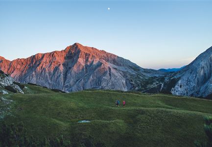
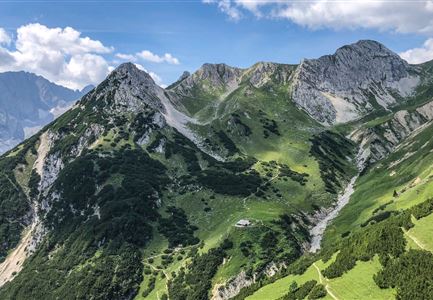
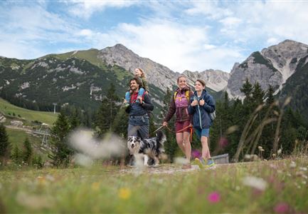
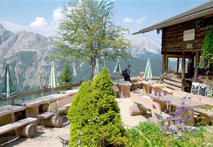
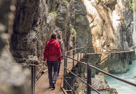
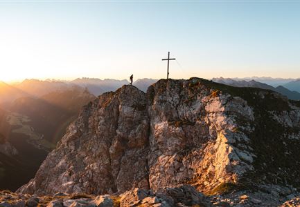
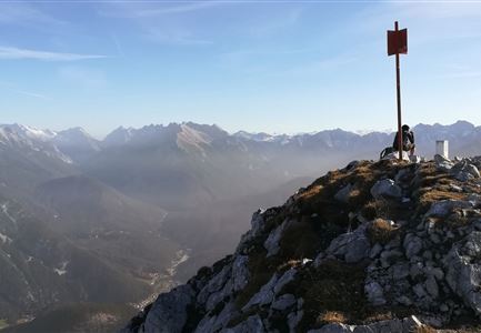
Three huts, three days, and views you’ll never forget: the Leutasch 3-Day Hut Hike in the Gaistal Valley is tailor-made for an unforgettable family adventure. It’s all about pure nature, jaw-dropping scenery, and plenty of fun for both kids and adults. Perfect for little explorers aged 5 and up, this hike is an ideal mix of excitement and togetherness. So pack your backpacks and get ready to be swept away by the magic of the Gaistal!

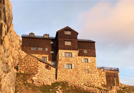
Day 1 starts in Leutasch with a climb of around 550 meters up to two picture-perfect alpine huts: the Wettersteinhütte and Wangalm. Both huts offer breathtaking views, mouthwatering Tyrolean dishes, and cozy overnight stays, including the charming “Kuschlhitte” (snuggle hut at the Wettersteinhütte). The trail is wonderfully varied, winding through forested sections before opening up to reveal stunning views of the Hohe Munde and surrounding peaks. With plenty of space for games and laughter along the way, the kids are guaranteed to stay happy and motivated.

After the effort of Day 1, Day 2 takes it a bit easier, with fewer climbs and more time to soak up the incredible scenery of the Wetterstein Mountains. This stage

Read More...

Features & Characteristics

Start Point

Parking lot P2 'Stupfer' in Gaistal

End Point

Parking lot P2 'Stupfer' in Gaistal

Family-friendly

Yes

Multiday hike

Yes

Loop tour

Yes

Multi-Day Tour Feature

Gesamtverlauf

Similar Tour Suggestions

Wanderung Oberbrunnalm im Karwendel - Scharnitz (1).jpg

Hiking

Circular hike over Zäunlkopf & Oberbrunnalm alpine hut

Length

15,20 km

Duration

06:00 h

Uphill

794 hm

Downhill

789 hm

Altitude

1743 hm

Difficulty

Medium

Hölzernes Herz am Mühlberg in Scharnitz - Perspektive durch Gebüsch (1).jpg

Hiking

Hike to the Mühlberg Scharnitz

Length

6,50 km

Duration

02:30 h

Uphill

334 hm

Downhill

328 hm

Altitude

1315 hm

Difficulty

Medium

Spaziergang mit Hund in Unterleutasch - Hund spricht ins Wasser an der Leutascher Ache.jpg

Hiking

Hike along the Achweg

Length

10,80 km

Duration

03:00 h

Uphill

70 hm

Downhill

78 hm

Altitude

10777 hm

Difficulty

Easy

Scharnitz - Wanderung zur Birzlkapelle - Kapelle mit Pausenbank.jpg

Hiking

Hike to the Birzlkapelle chapel

Length

4,60 km

Duration

01:30 h

Uphill

156 hm

Altitude

1131 hm

Difficulty

Easy

Porta Claudia Ruine - Scharnitz (1).jpg

Hiking

Scharnitz cultural hiking trail

Length

3,00 km

Duration

01:00 h

Uphill

53 hm

Altitude

1005 hm

Difficulty

Easy

Möserer See im Frühling - Paar läuft entlang des Seeweges.jpg

Hiking

Circular walking path from Seefeld to the lake Möserer See

Length

8,80 km

Duration

02:30 h

Uphill

231 hm

Altitude

1297 hm

Difficulty

Easy

Wildmoosalm im Sommer - Hütte mit Kuh.jpg

Hiking

Hike to the Wildmoosalm alpine hut

Length

5,80 km

Duration

01:45 h

Uphill

131 hm

Altitude

1305 hm

Difficulty

Easy

Seefelder Spitze im Sonnenuntergang

Hiking

Hiking to the Seefelder Spitze, 2,221 m and Seefelder Joch

Length

7,40 km

Duration

04:30 h

Uphill

1010 hm

Downhill

167 hm

Altitude

2221 hm

Difficulty

Medium

Open