Start Point

Bus stop "Leutasch Weidach Zentrum"

End Point

Bus stop "Leutasch Weidach Zentrum"

Difficulty

Easy

Total Distance

11,50 km

Descent Meters

111 m

Ascent Meters

108 m

Highest Point

1194 m

Total Time

03:10 h

Map & Elevation Profile

Start Point

Bus stop "Leutasch Weidach Zentrum"

End Point

Bus stop "Leutasch Weidach Zentrum"

Difficulty

Easy

Total Distance

11,50 km

Descent Meters

111 m

Ascent Meters

108 m

Highest Point

1194 m

Total Time

03:10 h

Hiking

Best Time

Jan

Feb

Mar

Apr

May

Jun

Jul

Aug

Sep

Oct

Nov

Dec

Thematic route

Village walks

+3

The Leutasch Farm Shop Tour starts in the Weidach district of Leutasch. If you’re arriving by public transport, the best stop to get off at is "Leutasch Weidach Zentrum", from where you can begin the tour. For those arriving by car, parking is available at P10 and P8, just after the bridge from the Weidach Zentrum.

You’ll want to start this culinary tour from farm to farm with an empty backpack that has plenty of space for all kinds of local treats. From Weidach, head along the main road towards the "Gasse" district. At the end of the main road, you’ll reach Pizzeria Al Cavallino. Go right around the building (following the sign towards Mittenwald) and immediately left into the side street. At the end of the street, you'll find the family-run Pichler Bakery, known for its high-quality breads and baked goods—perfect for a picnic you can enjoy at one of the sunny spots along the route.

After stocking up on fresh bread (and perhaps a sweet treat), continue along the forest edge towards the Kirchplatzl district. The path takes you behind the Ganghofermuseum and leads

Read More...

Features & Characteristics

Stamina

Start Point

Bus stop "Leutasch Weidach Zentrum"

End Point

Bus stop "Leutasch Weidach Zentrum"

Family-friendly

Yes

Loop tour

Yes

Similar Tour Suggestions

Reitherjoch Alm in Seefeld

Hiking

Circular hike to the Reitherjochalm alpine hut

Length

6,60 km

Duration

02:30 h

Uphill

321 hm

Altitude

1479 hm

Difficulty

Easy

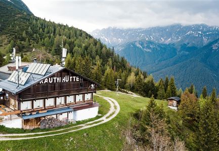
Rauthhütte in Leutasch

Hiking

Circular hiking to Rauthhütte alpine hut & Inntal Valley view

Length

6,20 km

Duration

03:00 h

Uphill

439 hm

Altitude

1599 hm

Difficulty

Medium

Familie in der Region Seefeld - Spielen am Fluss - Leutascher Ache.jpg

Hiking

Hike to Unterleutasch Along the Achweg

Length

9,10 km

Duration

02:30 h

Uphill

3 hm

Downhill

77 hm

Altitude

1174 hm

Difficulty

Easy

Wanderung zur Scharnitzer Alm - Scharnitzer Alm mit Tannenzweigen im Vordergrund.jpg

Hiking

Circular hiking trail Scharnitzer alpine hut

Length

5,70 km

Duration

01:30 h

Uphill

130 hm

Altitude

1022 hm

Difficulty

Easy

Spaziergang mit Hund in Unterleutasch - Mann läuft mit Hund entlang von Bäumen Aufnahme Richtung Sonne.jpg

Hiking

Tour of lawn "toler"

Length

4,20 km

Duration

00:45 h

Uphill

13 hm

Altitude

1072 hm

Difficulty

Easy

kinder_bei_infotafel_in_der_geisterklamm.jpg

Hiking

Short circular trail at the Spirit Gorge

Length

500 m

Duration

00:15 h

Uphill

10 hm

Altitude

1027 hm

Difficulty

Easy

Open
Ederkanzel

Hiking

Circular Hike via the Franzosensteig to Grünkopf and Ederkanzel

Length

7,40 km

Duration

04:00 h

Uphill

590 hm

Altitude

1569 hm

Difficulty

Medium

Scharnitz - Wanderung zur Adlerkanzel - Blick auf die Isar.jpg

Hiking

Circular village walk Scharnitz - Gießenbach

Length

6,10 km

Duration

01:30 h

Uphill

42 hm

Altitude

1013 hm

Difficulty

Easy