Start Point

Weidach Leutasch

End Point

Weidach Leutasch

Difficulty

Hard

Total Distance

25,00 km

Descent Meters

253 m

Highest Point

1226 m

Map & Elevation Profile

Start Point

Weidach Leutasch

End Point

Weidach Leutasch

Difficulty

Hard

Total Distance

25,00 km

Descent Meters

253 m

Highest Point

1226 m

Cross-country Skiing

Best Time

Jan

Feb

Mar

Apr

May

Jun

Jul

Aug

Sep

Oct

Nov

Dec

Attraction

Klassisch

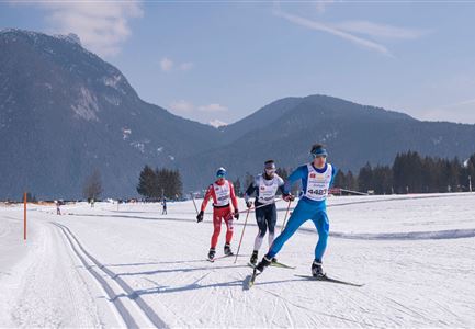
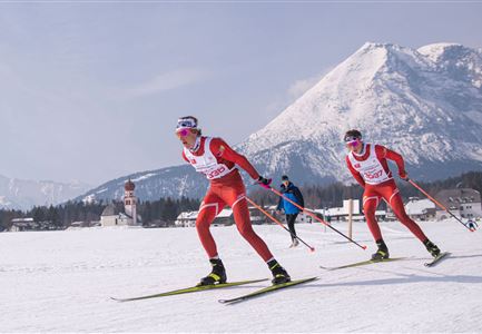
The 25 km classic route offers everything that the experienced classic racer could wish for. Sharp climbs and descents, interesting routes through the woods and and all surrounded by the beautiful panorama of the Wetterstein and Karwendel mountains. The heart of the course is the unique Plaikloipe (C9) which, after the challenging climb, offers lovely descents and wonderful views. The stretch on the Panorama trail (B7) and Wald trail (B11) before the finish line is also a sleeper hit for those who love classic tracks.

The challenging classic route is taken once (25km) or if wished twice (50km) and is thus the leading discipline of the biggest cross-country ski classic in Austria.

More information about the program and details on registration can be found here.

Features & Characteristics

Start Point

Weidach Leutasch

End Point

Weidach Leutasch

Klassisch

Yes

Similar Tour Suggestions

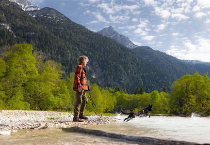
Spaziergang mit Hund in Unterleutasch - Hund spricht ins Wasser an der Leutascher Ache.jpg

Hiking

Area for dogs (off-leash)

Length

1,50 km

Duration

00:30 h

Uphill

28 hm

Difficulty

Easy

Ganghoferlauf 2022

Cross-country Skiing

Race Euroloppet Ganghoferlauf - skating 42 km

Length

42,00 km

Uphill

203 hm

Altitude

1199 hm

Difficulty

Hard

Teilnehmer vom Einhornmarsch kurz vor Kirchplatzl (1).jpg

Running

IML Unicorn March Day 2: 42 km - Olympic Hike

Length

42,29 km

Duration

12:45 h

Uphill

886 hm

Downhill

691 hm

Altitude

1370 hm

Difficulty

Medium

Paar vor dem Seekirchl im Sommer - Seefeld in Tirol.jpg

Hiking

Circular walk in the Möserer valley

Length

3,10 km

Duration

00:45 h

Uphill

12 hm

Altitude

1196 hm

Difficulty

Easy

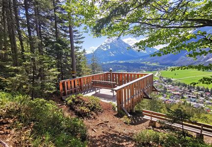
Aussichtsplattform Kurblhang - Leutasch.jpg

Hiking

Circular hiking trail viewpoint Kurblhang

Length

3,50 km

Duration

01:30 h

Uphill

181 hm

Altitude

1277 hm

Difficulty

Medium

Ganghoferlauf_Leutasch_2022

Cross-country Skiing

Race Euroloppet Ganghoferlauf - skating 22 km

Length

22,00 km

Uphill

122 hm

Altitude

1199 hm

Difficulty

Hard

Einhornmarsch-Teilnehmer mit Seefeld-Beutel laufen an der Leutascher Ache entlang.jpg

Running

IML Unicorn March Day 1: 42km - Hike around the Arnspitze Mountain

Length

42,00 km

Duration

11:00 h

Uphill

820 hm

Altitude

1382 hm

Difficulty

Medium

Hölzernes Herz am Mühlberg in Scharnitz - Perspektive durch Gebüsch (1).jpg

Hiking

Hike to the Mühlberg Scharnitz

Length

6,50 km

Duration

02:30 h

Uphill

334 hm

Downhill

328 hm

Altitude

1315 hm

Difficulty

Medium