Start Point

Seefeld Seekirchl

End Point

Seefeld Seekirchl

Difficulty

Easy

Total Distance

3,10 km

Descent Meters

12 m

Ascent Meters

12 m

Highest Point

1196 m

Total Time

00:45 h

Map & Elevation Profile

Start Point

Seefeld Seekirchl

End Point

Seefeld Seekirchl

Difficulty

Easy

Total Distance

3,10 km

Descent Meters

12 m

Ascent Meters

12 m

Highest Point

1196 m

Total Time

00:45 h

Hiking

Best Time

Jan

Feb

Mar

Apr

May

Jun

Jul

Aug

Sep

Oct

Nov

Dec

Hiking

Hiking tour

+5

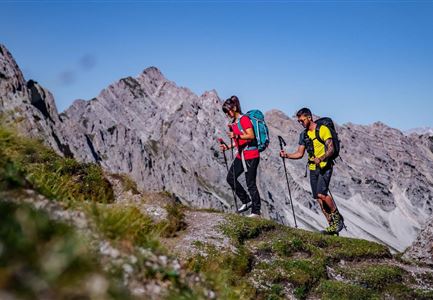
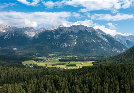
This idyllic short loop through the Möserer Valley is an easy walk with no significant inclines, passing through blooming meadows along the Seefeld Sports Arena.

Starting at the Seekirchl, the route first leads to the nearest crossing of the main road, then continues to the tennis hall. Here, Trail No. 2 begins, winding through the peaceful Kirchwald. Along the way, the running track is crossed once—please be mindful of runners. After the crossing, the path returns to the main road and switches to the other side of the valley into the Seewald.

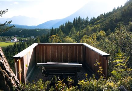
From there, follow Trail No. 4 as it gently curves left, passing the ski jumps and competition facilities of the Seefeld Sports Arena, leading to the Sportalm at the foot of the Gschwandtkopf. If you like, take a short detour to the viewing platform at the WSC Tower. A high-quality Swarovski binocular offers breathtaking close-up views of the surrounding mountain landscape.

At the cozy Sportalm, you can take a break on the sunny terrace—enjoying refreshing drinks, regional specialties, and stunning views of the alpine meadows

Read More...

Features & Characteristics

Start Point

Seefeld Seekirchl

End Point

Seefeld Seekirchl

Family-friendly

Yes

Loop tour

Yes

Similar Tour Suggestions

Aufstieg Eppzirler Scharte - Karwendel Hoehenweg Etappe 2

Hiking

Eagle Walk Stage 15: Solsteinhaus - Scharnitz - Leutasch/Ahrn

Length

20,00 km

Duration

06:30 h

Uphill

870 hm

Downhill

1500 hm

Altitude

2110 hm

Difficulty

Medium

Wettersteingebirge und Leutasch im Sommer - Drohnenaufnahme von der Muggenmoosalm.jpg

Hiking

Hike Schlagweg-Rauthgatter-Wildmoos

Length

11,50 km

Duration

03:30 h

Uphill

220 hm

Altitude

1345 hm

Difficulty

Easy

Wanderweg zur Hohen Fluder mit Blick Richtung Hohe Munde.jpg

Hiking

Hike Hoher Sattel

Length

10,60 km

Duration

04:00 h

Uphill

524 hm

Altitude

1620 hm

Difficulty

Medium

Radtour ins Gaistal - Bruecke am Eingang vom Gaistal

Hiking

Bike & Hike lake Seebensee & lake Drachensee

Length

31,00 km

Duration

04:45 h

Uphill

820 hm

Altitude

1897 hm

Difficulty

Medium

Familien-Weitwanderung im Gaistal - Vater und Sohn auf schmalem Weg durch grüne Wiese (1).jpg

Hiking

Stage 2: To Rotmoosalm – Leutasch 3-Day Hut Hike for Families

Length

5,00 km

Uphill

400 hm

Downhill

130 hm

Altitude

2132 hm

Difficulty

Medium

Sonnenuntergang Hohe Munde_Ostgipfel

Hiking

Hike Hohe Munde Summit, 2.592 m

Length

11,30 km

Duration

09:00 h

Uphill

1410 hm

Altitude

2562 hm

Difficulty

Hard

Höhenweg Leutasch_Aussichtsplattform Höhenweg.jpg

Hiking

Circular hike to the viewing platform on the Höhenweg - Runst

Length

7,40 km

Duration

02:00 h

Uphill

128 hm

Altitude

1156 hm

Difficulty

Easy

Engalm im Karwendel - Scharnitz

Hiking

Eagle Walk Stage 09: Lamsenjoch Hut - Falken Hut

Length

12,50 km

Duration

04:30 h

Uphill

810 hm

Downhill

920 hm

Altitude

1960 hm

Difficulty

Medium