We use cookies for your personalized browsing experience, to personalize content and ads, to provide social media features, and to analyze traffic to our website. We also share information about your use of our website with our social media, advertising and analytics partners. Our partners may combine this information with other data that you have provided to them or that they have collected as part of your use of the Services. (incl. US providers)

Start Point

Parking lot P4 "Mühlberg"

End Point

Parking lot P4 "Mühlberg"

Difficulty

Medium

Total Distance

5,40 km

Descent Meters

339 m

Ascent Meters

339 m

Highest Point

1319 m

Total Time

02:30 h

Map & Elevation Profile

Start Point

Parking lot P4 "Mühlberg"

End Point

Parking lot P4 "Mühlberg"

Difficulty

Medium

Total Distance

5,40 km

Descent Meters

339 m

Ascent Meters

339 m

Highest Point

1319 m

Total Time

02:30 h

Hiking

Best Time

Jan

Feb

Mar

Apr

May

Jun

Jul

Aug

Sep

Oct

Nov

Dec

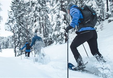
Snowshoe hiking

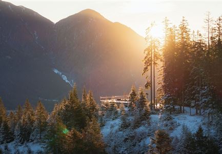
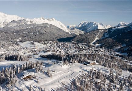
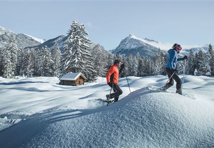
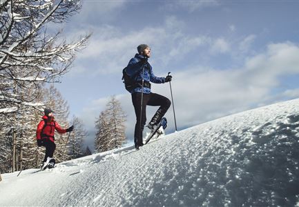
The tour starts at the parking lot P4 "Mühlberg". First, you follow the former ski slope until you reach a heart-shaped viewing platform, where you’ll enjoy a lovely view over Scharnitz and the surrounding mountains.

From there, continue on the toboggan trail. Keep an eye out for sledders and other winter sports enthusiasts. If you want to use the trail as a natural toboggan run on the way back, take a sled with you to the top. When you reach Mühlberg, you’ll be rewarded with an amazing panoramic view.

The way back follows the same route down.

Features & Characteristics

Start Point

Parking lot P4 "Mühlberg"

End Point

Parking lot P4 "Mühlberg"

Similar Tour Suggestions

Drohnenaufnahme Rauthhütte - Hütte mit Hohe Munde im Nebel .jpg

Hiking

Snowshoe hiking route S4: To the alpine hut Rauthhütte

Length

4,10 km

Duration

02:30 h

Uphill

382 hm

Downhill

409 hm

Altitude

1587 hm

Difficulty

Medium

Luftaufnahme Seefeld vom Gschwandtkopf

Hiking

Snowshoe hiking route S2: Gschwandtkopf

Length

5,00 km

Duration

02:15 h

Uphill

279 hm

Downhill

360 hm

Altitude

1470 hm

Difficulty

Medium

Brunschkopf im Frühwinter bei Sonnenaufgang_Drohnenaufnahme reingezoomt auf Plattform.jpg

Hiking

Snowshoe hiking route S1: Brunschkopf

Length

5,00 km

Duration

02:00 h

Uphill

189 hm

Downhill

287 hm

Altitude

1497 hm

Difficulty

Medium

Pleisenhütte Winter

Hiking

Snowshoe hiking route S8: To the Pleisenhütte

Length

15,80 km

Duration

06:00 h

Uphill

780 hm

Altitude

1753 hm

Difficulty

Medium

Schneeschuhwanderung (5).jpg

Hiking

Snowshoe hiking route S3: Hohe Fluder

Length

10,10 km

Duration

04:00 h

Uphill

514 hm

Altitude

1628 hm

Difficulty

Medium

Schneeschuhwanderung (10).jpg

Hiking

Snowshoe hiking route S6: Isarsteig - Nederweg

Length

6,40 km

Duration

02:00 h

Uphill

190 hm

Altitude

1017 hm

Difficulty

Medium

Schneeschuhwanderung (8) (1).jpg

Hiking

Snowshoe hiking route S7: To Chapel Birzlkapelle

Length

5,40 km

Duration

02:00 h

Uphill

171 hm

Altitude

1124 hm

Difficulty

Medium