Start Point
Nature Park Info Center Scharnitz (P2)
End Point
Nature Park Info Center Scharnitz (P2)
Difficulty
Medium
Total Distance
6,40 km
Descent Meters
190 m
Ascent Meters
190 m
Highest Point
1017 m
Total Time
02:00 h
Hiking
Best Time
Jan
Feb
Mar
Apr
May
Jun
Jul
Aug
Sep
Oct
Nov
Dec
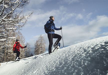
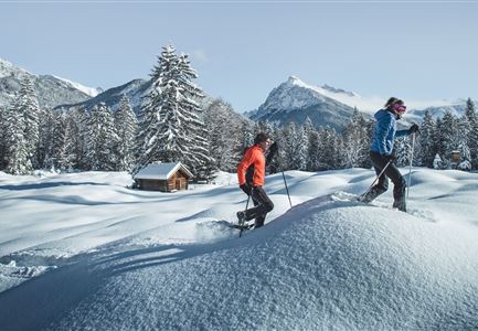
Snowshoe hiking
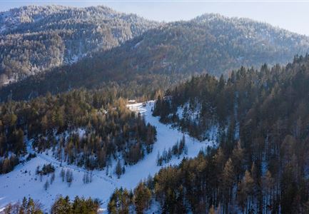
From the Nature Park Info Center in Scharnitz, the trail follows Hinterautalstraße over a small hill, past the Taxi Mair building, straight ahead to the junction with the Isarsteig on the right. The trail leads through beautifully snow-covered forests and along the Isar, which offers a picturesque backdrop, especially in winter. At the end of the Isarsteig, turn right onto the forest road, then continue along Nederweg to Scharnitzer Alm. From there, head further into the valley until you reach the turnoff for Isarlodge Wiesenhof.
The return route leads either back the same way or along Hinterautalstraße back to Scharnitz.
Stamina
Technique
Start Point
Nature Park Info Center Scharnitz (P2)
End Point
Nature Park Info Center Scharnitz (P2)
Similar Tour Suggestions