We use cookies for your personalized browsing experience, to personalize content and ads, to provide social media features, and to analyze traffic to our website. We also share information about your use of our website with our social media, advertising and analytics partners. Our partners may combine this information with other data that you have provided to them or that they have collected as part of your use of the Services. (incl. US providers)

Start Point

Bus stop "Schanz" Leutasch

End Point

Bus stop "Weidach Zentrum" Leutasch

Difficulty

Easy

Total Distance

14,20 km

Descent Meters

144 m

Ascent Meters

57 m

Highest Point

1162 m

Total Time

04:00 h

Status

Open

Map & Elevation Profile

Start Point

Bus stop "Schanz" Leutasch

End Point

Bus stop "Weidach Zentrum" Leutasch

Difficulty

Easy

Total Distance

14,20 km

Descent Meters

144 m

Ascent Meters

57 m

Highest Point

1162 m

Total Time

04:00 h

Status

Open

Hiking

Best Time

Open

Jan

Feb

Mar

Apr

May

Jun

Jul

Aug

Sep

Oct

Nov

Dec

Winter walking

Multiday hike

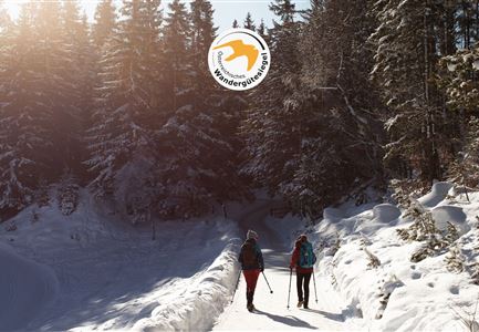
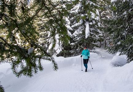
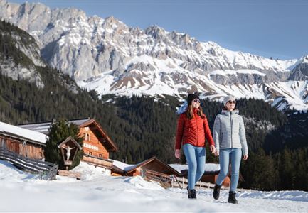
Leutasch is simply stunning. If it’s your first visit, then Stage 3 of the Seefeld High Plateau Winter Multi-day Hike lets you experience it in all its glory.

On this section, you'll explore the extensive and extremely scenic hiking paradise called Leutasch. Take the bus from Seefeld to Unterleutasch and get off at the bus stop 'Burggraben GH Mühle' to begin a gentle walk through the valley. Follow the long Achweg behind the Gasthaus Mühle. This path runs alongside fields and forests, mostly by the water, and is a wonderful opportunity to connect with nature.

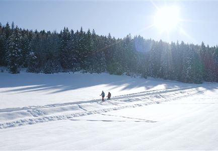
You reach civilization again in the Leutasch area of Reindlau. Cross the road near the campsite and follow the adjacent path until you reach the end of the village. Follow the hiking trail that branches off from the paved road until just before the Lehner area. From there, cross to the other side of the valley. Cross the fields and road to reach Ahrn and then follow the path parallel to the cross-country skiing tracks, watching the skiers along the way. Polis Hütte, a popular spot for winter sports enthusiasts, is along this route. From Leutascher Straße, continue left along the sidewalk

Read More...

Similar Tour Suggestions

27.11.2021 - Stadl in Moesern bei Neuschnee - Wanderweg von Seefeld nach Moesern.jpg

Hiking

W31: Winter hike Mösern-Seefeld

Length

7,20 km

Duration

02:15 h

Uphill

148 hm

Downhill

142 hm

Altitude

1268 hm

Difficulty

Easy

Open
Weitwandern Etappe 1 Teilnehmer bei Bach (1).jpg

Hiking

Stage 1: From Schanz to Weidach – Tyrol’s 1. Winter Multi-day Hike

Length

14,20 km

Duration

03:30 h

Uphill

140 hm

Downhill

58 hm

Altitude

1162 hm

Difficulty

Medium

Open
Winterwandern in der Region Seefeld_Drohnenaufnahme_Mann und Frau laufen entlang des Ufers des Wildsees (1).jpg

Hiking

W7: Winter circular hike Reith - Seefeld - Reith

Length

8,70 km

Duration

02:30 h

Uphill

118 hm

Downhill

121 hm

Altitude

1200 hm

Difficulty

Easy

Open
Winterwandern Paar Friedensglocke Drohnen Nahaufnahme Paar steht am Geländer Blick ins Inntal (1).jpg

Hiking

W30: Winter hiking "Path of Peace"

Length

4,60 km

Duration

01:30 h

Uphill

92 hm

Downhill

96 hm

Altitude

1292 hm

Difficulty

Easy

Open
Drohnenaufnahme Wettersteinhütte - Nahaufnahme mit Blick ins Wettersteingebirge (1).jpg

Hiking

Stage 3: From Mösern to Wettersteinhütte – Tyrol’s 1. Winter Multi-day Hike

Length

14,00 km

Duration

06:00 h

Uphill

718 hm

Altitude

1719 hm

Difficulty

Medium

Open
Winterwandern-am-Wildmoos-Plateau-(1)_WaLogo.jpg

Hiking

W1: Winter Circular Hike Seefeld-Mösern-Wildmoos

Length

13,00 km

Duration

03:30 h

Uphill

247 hm

Altitude

1333 hm

Difficulty

Medium

Open
Leutasch - Winterwanderweg 15 Katzenloch-3.jpg

Hiking

Stage 2: From Seefeld to Scharnitz - Seefeld High Plateau Winter Multi-day Hike

Length

12,37 km

Duration

03:30 h

Uphill

59 hm

Downhill

278 hm

Altitude

1182 hm

Difficulty

Easy

Open
Drohnenbild Gschwandtkopf und Schanze bei Sonneaufgang.jpg

Hiking

W2: Winter Circular Hike around the mountain Gschwandtkopf

Length

10,50 km

Duration

03:30 h

Uphill

226 hm

Downhill

222 hm

Altitude

1342 hm

Difficulty

Medium

Open