Tourismusverband Seefeld
We use cookies for your personalized browsing experience, to personalize content and ads, to provide social media features, and to analyze traffic to our website. We also share information about your use of our website with our social media, advertising and analytics partners. Our partners may combine this information with other data that you have provided to them or that they have collected as part of your use of the Services. (incl. US providers)

Start Point

Parking lot P2 'Stupfer' in Gaistal

End Point

Parking lot P2 'Stupfer' in Gaistal

Difficulty

Medium

Total Distance

8,30 km

Descent Meters

504 m

Ascent Meters

504 m

Highest Point

1717 m

Total Time

04:00 h

Status

Open

Map & Elevation Profile

Start Point

Parking lot P2 'Stupfer' in Gaistal

End Point

Parking lot P2 'Stupfer' in Gaistal

Difficulty

Medium

Total Distance

8,30 km

Descent Meters

504 m

Ascent Meters

504 m

Highest Point

1717 m

Total Time

04:00 h

Status

Open

Hiking

Best Time

Open

Jan

Feb

Mar

Apr

May

Jun

Jul

Aug

Sep

Oct

Nov

Dec

Winter walking

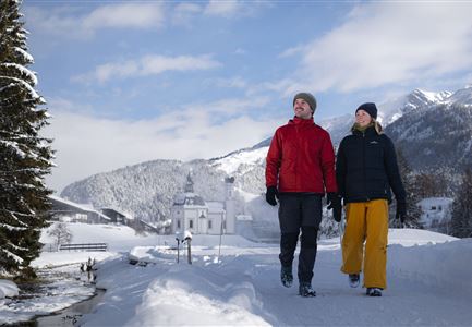
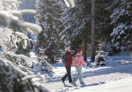
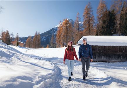
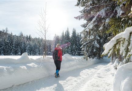
This moderately challenging winter hike to the Wettersteinhütte is one of the most beautiful and panoramic in the region. The starting point is the P2 (Stupfer) hiking car park in Gaistal, from where you follow the signs to the Wettersteinhütte. If you plan to use the trail as a natural toboggan run on the way down, it's a good idea to bring your sled along. After a steep 400-meter climb, you reach hiking trail No. 9. The path offers several open panoramic sections with stunning views of the surrounding peaks and the Hohe Munde.

In the shadow of the "Grande Dame" of the Alps, you finally arrive at the Wettersteinhütte, situated at 1,717 meters. On the sunny terrace, you can enjoy breathtaking views on clear winter days and perhaps the best Kaiserschmarrn in the region. With a prior reservation, you can also enjoy a romantic overnight stay in the nearby "Kuschlhittn" and wake up to a rustic alpine breakfast.

Features & Characteristics

Stamina

Technique

Start Point

Parking lot P2 'Stupfer' in Gaistal

End Point

Parking lot P2 'Stupfer' in Gaistal

Similar Tour Suggestions

Winterwandern im Schnee (1) (3).jpg

Hiking

W21: Winter circular hike Fludertal - Katzenkopf

Length

8,02 km

Duration

02:45 h

Uphill

261 hm

Altitude

1369 hm

Difficulty

Medium

Open
Winterwandern in der Region Seefeld_Drohnenaufnahme_Mann und Frau laufen entlang des Ufers des Wildsees (1).jpg

Hiking

W7: Winter circular hike Reith - Seefeld - Reith

Length

8,70 km

Duration

02:30 h

Uphill

118 hm

Downhill

121 hm

Altitude

1200 hm

Difficulty

Easy

Open
Drohnenaufnahme Wettersteinhütte - Nahaufnahme mit Blick ins Wettersteingebirge (1).jpg

Hiking

Stage 3: From Mösern to Wettersteinhütte – Tyrol’s 1. Winter Multi-day Hike

Length

14,00 km

Duration

06:00 h

Uphill

718 hm

Altitude

1719 hm

Difficulty

Medium

Open
Drohnenaufnahme Reith im Winter - Kirche reingezoomt mit Wettersteingebirge im Hintergrund.jpg

Hiking

W34: Winter circular hike "culture path" Reith

Length

4,50 km

Duration

01:30 h

Uphill

116 hm

Downhill

117 hm

Altitude

1128 hm

Difficulty

Easy

Open
Drohnenaufnahme Rauthhütte - Hütte von der Seite mit nebeligem Inntal.jpg

Hiking

W13: Winter Hike to the Rauthhütte

Length

5,00 km

Duration

03:00 h

Uphill

424 hm

Downhill

418 hm

Altitude

1602 hm

Difficulty

Medium

Open
Winterwandern in der Region Seefeld_Mann und Frau laufen neben kleiner Holzhütte im Fludertal.jpg

Hiking

W19: Winter hike Wildmoosalm - Fludertal

Length

16,20 km

Duration

05:00 h

Uphill

368 hm

Downhill

361 hm

Altitude

1335 hm

Difficulty

Easy

Open
Winterwandern Paar Möserer See Paar steht auf Steg Seitenperspektive.jpg

Hiking

W27: Winter circular hike Möserer See

Length

3,50 km

Duration

01:15 h

Uphill

96 hm

Downhill

100 hm

Altitude

1297 hm

Difficulty

Easy

Open
Winterwandern Paar Oberer Wiesenweg Mann zeigt auf etwas Hohe Munde im Neben im Hintergrund (1).jpg

Hiking

W17: Winter circular hike on the Wiesenweg

Length

6,20 km

Duration

01:45 h

Uphill

61 hm

Altitude

1193 hm

Difficulty

Easy

Open