We use cookies for your personalized browsing experience, to personalize content and ads, to provide social media features, and to analyze traffic to our website. We also share information about your use of our website with our social media, advertising and analytics partners. Our partners may combine this information with other data that you have provided to them or that they have collected as part of your use of the Services. (incl. US providers)

Start Point

Parking Katzenkopflift (P14)

End Point

Parking Katzenkopflift (P14)

Difficulty

Easy

Total Distance

5,10 km

Descent Meters

231 m

Highest Point

1353 m

Total Time

02:15 h

Map & Elevation Profile

Start Point

Parking Katzenkopflift (P14)

End Point

Parking Katzenkopflift (P14)

Difficulty

Easy

Total Distance

5,10 km

Descent Meters

231 m

Highest Point

1353 m

Total Time

02:15 h

Hiking

Best Time

Jan

Feb

Mar

Apr

May

Jun

Jul

Aug

Sep

Oct

Nov

Dec

Winter walking

Family-friendly

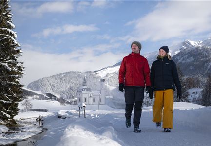
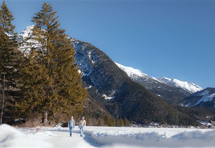
Directly from the valley station of the versatile Leutascher Katzenkopf, a wonderful hiking route leads up the mountain.

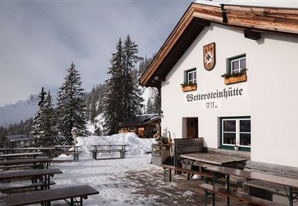
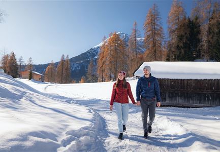
As you can also toboggan on the same route in winter and the ascent crosses the ski slope twice on the way, it is essential to watch out for oncoming traffic on the way! If necessary, you can also get a rental toboggan at the valley station for a small fee. Alternatively, hiking trails lead from the cosy Katzenkopfhütte (1,360m) at the summit on to Wildmoos, Seefeld and Mösern.

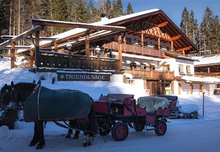
From the sun terrace of the traditional wooden hut, an impressive mountain panorama stretches over the extensive Leutasch valley, which you can simply take in here while enjoying homemade delicacies, freshly tapped refreshments and steaming hot drinks. Those who prefer to warm up indoors will find a cosy Tyrolean parlour with a tiled stove and crackling fireplace. And if you are looking for some soothing relaxation on the way back, you will find a wide range of wellness offers in the ErlebnisWelt Alpenbad Leutasch, from alpine herbal infusions to calf massages.

Features & Characteristics

Start Point

Parking Katzenkopflift (P14)

End Point

Parking Katzenkopflift (P14)

Family-friendly

Yes

Similar Tour Suggestions

Winterweitwandern Fludertal

Hiking

W19: Winter hike Wildmoosalm - Fludertal

Length

16,20 km

Duration

05:00 h

Uphill

368 hm

Downhill

361 hm

Altitude

1335 hm

Difficulty

Easy

Winterwandern Paar Oberer Wiesenweg Mann zeigt auf etwas Hohe Munde im Neben im Hintergrund (1).jpg

Hiking

W17: Winter circular hike on the Wiesenweg

Length

6,20 km

Duration

01:45 h

Uphill

61 hm

Altitude

1193 hm

Difficulty

Easy

Winterwandern Paar Möserer See Paar steht auf Steg Seitenperspektive.jpg

Hiking

W27: Winter circular hike Möserer See

Length

3,50 km

Duration

01:15 h

Uphill

96 hm

Downhill

100 hm

Altitude

1297 hm

Difficulty

Easy

Weitwandern Etappe 1 Teilnehmer bei Bach (1).jpg

Hiking

Stage 1: From Schanz to Weidach – Tyrol’s 1. Winter Multi-day Hike

Length

14,20 km

Duration

03:30 h

Uphill

140 hm

Downhill

58 hm

Altitude

1162 hm

Difficulty

Medium

Winterwandern im Möserer Tal

Hiking

W8: Winter Hike to the Seewaldalm

Length

6,23 km

Duration

02:00 h

Uphill

51 hm

Altitude

1236 hm

Difficulty

Easy

Drohnenaufnahme Reith im Winter - Ortszentrum mit Kirche und Reither Spitze im Hintergrund.jpg

Hiking

W33: Winter circular hike Hölltal

Length

5,00 km

Duration

02:00 h

Uphill

192 hm

Downhill

186 hm

Altitude

1303 hm

Difficulty

Medium

Blick auf Scharnitz im Winter

Hiking

W6: Winter Hike from Seefeld to Scharnitz

Length

8,30 km

Duration

05:00 h

Downhill

211 hm

Altitude

1178 hm

Difficulty

Easy

Winterwandern Paar Friedensglocke Drohnen Nahaufnahme Paar steht am Geländer Blick ins Inntal (1).jpg

Hiking

W30: Winter hiking "Path of Peace"

Length

4,60 km

Duration

01:30 h

Uphill

92 hm

Downhill

96 hm

Altitude

1292 hm

Difficulty

Easy