We use cookies for your personalized browsing experience, to personalize content and ads, to provide social media features, and to analyze traffic to our website. We also share information about your use of our website with our social media, advertising and analytics partners. Our partners may combine this information with other data that you have provided to them or that they have collected as part of your use of the Services. (incl. US providers)
Start Point

Seefeld Railway Station

End Point

Scharnitz Railway station

Difficulty

Easy

Total Distance

12,37 km

Descent Meters

59 m

Ascent Meters

278 m

Highest Point

1182 m

Total Time

03:30 h

Status

Open

Map & Elevation Profile

Start Point

Seefeld Railway Station

End Point

Scharnitz Railway station

Difficulty

Easy

Total Distance

12,37 km

Descent Meters

59 m

Ascent Meters

278 m

Highest Point

1182 m

Total Time

03:30 h

Status

Open

Hiking

Best Time

Open

Jan

Feb

Mar

Apr

May

Jun

Jul

Aug

Sep

Oct

Nov

Dec

Winter walking

Multiday hike

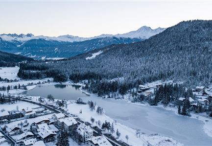
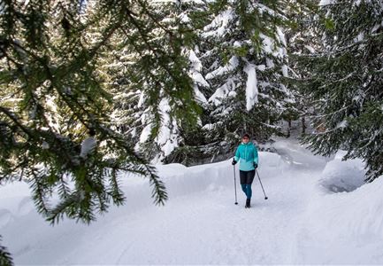
Seefeld to Scharnitz, or in other words, from the heart of the region to the "Gateway to the Karwendel". This relatively relaxed stage of the Seefeld High Plateau Winter Multi-day Hike passes through varied landscapes with some refreshment stops en route.

Stage 2 leads winter hikers to Scharnitz. The path to the "Gateway to the Karwendel" once again starts in Seefeld's pedestrian zone but heads in a different direction. From Seefeld train station, go right past the village square into Münchner Straße and walk along to the Seefelderhof (turning onto Wasserfallweg).

After a few minutes, Wasserfallweg merges into Heilbadstraße, where you turn left and come to a gravel path. From there, follow the signs toward Triendlsäge. This charmingly located guesthouse, nestled between forest and stream, is hard to miss. From Triendlsäge, continue right towards Bodenalm (closed in winter). From the Bodenalm, the trail continues - parallel to the cross-country ski trail - to the village of Gießenbach.

Once there, you reach the second refreshment stop, the Gasthof Ramona. After passing Gasthof Ramona, follow trail no. 19, turning right onto Sportplatzweg. The final stretch brings you to the residential area on Hirlanda-Ellmann-Weg and then you walk

Read More...

Features & Characteristics

Similar Tour Suggestions

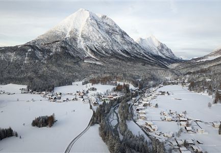
Drohnenaufnahme Reith im Winter - Ortszentrum mit Kirche und Reither Spitze im Hintergrund.jpg

Hiking

W33: Winter circular hike Hölltal

Length

5,00 km

Duration

02:00 h

Uphill

192 hm

Downhill

186 hm

Altitude

1303 hm

Difficulty

Medium

Open
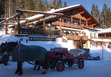
Triendlsäge im Winter - Gebäude mit Pferdekutsche.jpg

Hiking

W4: Winter Circular Hike Seefeld - Triendlsäge

Length

7,50 km

Duration

02:15 h

Uphill

147 hm

Altitude

1198 hm

Difficulty

Easy

Open
Luftaufnahme Wildsee im Winter - Seefeld.jpg

Hiking

W5: Winter Circuite around the Wildsee lake

Length

4,70 km

Duration

01:15 h

Uphill

22 hm

Altitude

1181 hm

Difficulty

Easy

Open
Katzenkopfhütte Winter

Hiking

Stage 1: Extension to Katzenkopf (2.9 km) – Tyrol’s 1. Winter Multi-day Hike

Length

2,90 km

Duration

01:15 h

Uphill

245 hm

Altitude

1360 hm

Difficulty

Medium

Open
Gaistalalm im Winter - Drohnennahaufnahme von der Seite mit Wettersteingebirge (2).jpg

Hiking

W12: Winter hike to the Gaistalalm

Length

8,20 km

Duration

02:30 h

Uphill

182 hm

Altitude

1366 hm

Difficulty

Easy

Open
W18 Schlagweg Rauthgatter Richtung Lottensee und Wildmoos.jpg

Hiking

W16: Winter hike from Leutasch to Seefeld

Length

6,60 km

Duration

02:15 h

Uphill

164 hm

Altitude

1225 hm

Difficulty

Easy

Open
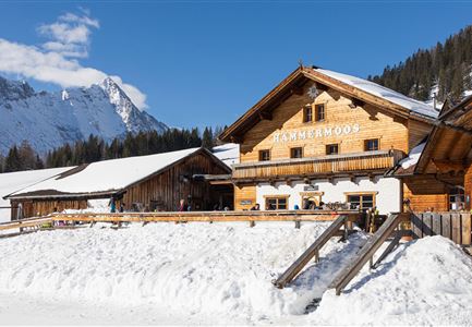
Haemmermoosalm im Winter.jpg

Hiking

W11: Winter hike to the Hämmermoosalm

Length

4,00 km

Duration

02:00 h

Uphill

173 hm

Downhill

171 hm

Altitude

1410 hm

Difficulty

Easy

Open
drohnenaufnahme_neuschnee_27.11._leutasch_blick_richtung_hohe_munde_1.jpg

Hiking

W10: Winter hike through the Leutasch Valley

Length

26,40 km

Duration

07:00 h

Uphill

173 hm

Downhill

177 hm

Altitude

1179 hm

Difficulty

Easy

Open