Start Point

Seefeld Railway Station

End Point

Seefeld Railway Station

Difficulty

Easy

Total Distance

7,50 km

Descent Meters

147 m

Ascent Meters

147 m

Highest Point

1198 m

Total Time

02:15 h

Status

Open

Map & Elevation Profile

Start Point

Seefeld Railway Station

End Point

Seefeld Railway Station

Difficulty

Easy

Total Distance

7,50 km

Descent Meters

147 m

Ascent Meters

147 m

Highest Point

1198 m

Total Time

02:15 h

Status

Open

Hiking

Best Time

Open

Jan

Feb

Mar

Apr

May

Jun

Jul

Aug

Sep

Oct

Nov

Dec

Winter walking

Family-friendly

+2

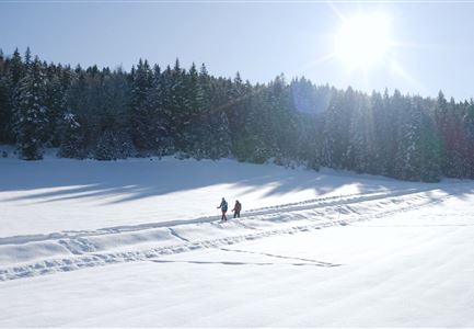
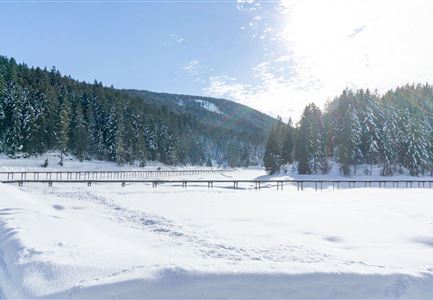
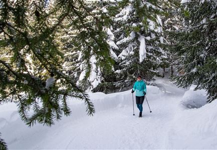
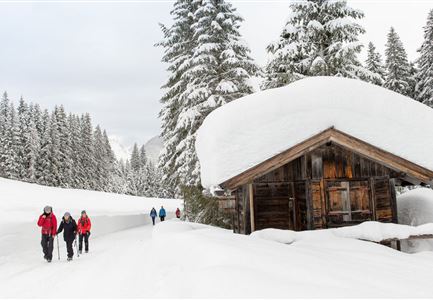
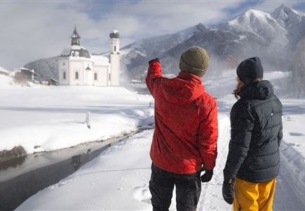
his winter hiking loop starts from the historic center of Seefeld, passing along Münchnerstraße and a small forest loop, leading to the Triendlsäge and back again.

The hike begins right at the Seefeld Information and Mobility Center at the ICE train station. Walk straight through the historic Pedestrian Zone to the Village Square. Turn right towards Münchnerstraße and continue straight until you reach Seefelderhof. Pass through the railway underpass, and then by the Birklstüberl restaurant, following the signs to Triendlsäge.

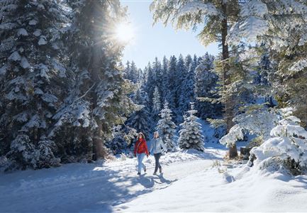
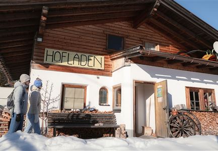
Feel free to take a delicious break here, enjoying seasonal treats and homemade specialties, and indulge in the best of Tyrolean cuisine. Refreshed and happy, cross the parking lot opposite the old sawmill and head back into the forest. After a short walk, turn right towards Seefeld. Follow the Panoramaweg to Münchnerstraße and finally back towards the train station and Information and Mobility Center Seefeld, or continue for some shopping in the Pedestrian Zone.

Features & Characteristics

Start Point

Seefeld Railway Station

End Point

Seefeld Railway Station

Family-friendly

Yes

Stroller-friendly

Yes

Loop tour

Yes

Similar Tour Suggestions

Winterwandern im Schnee (1) (3).jpg

Hiking

W21: Winter circular hike Fludertal - Katzenkopf

Length

8,02 km

Duration

02:45 h

Uphill

261 hm

Altitude

1369 hm

Difficulty

Medium

Open
Weidachsee im Winter

Hiking

W9: Winter circular hike around Weidachsee lake

Length

3,80 km

Duration

01:00 h

Uphill

46 hm

Altitude

1156 hm

Difficulty

Easy

Open
W18 Schlagweg Rauthgatter Richtung Lottensee und Wildmoos.jpg

Hiking

W16: Winter hike from Leutasch to Seefeld

Length

6,60 km

Duration

02:15 h

Uphill

164 hm

Altitude

1225 hm

Difficulty

Easy

Open
Weitwandern Etappe 2 Teilnehmer am Weg bei Huette

Hiking

Stage 2: From Leutasch to Mösern – Tyrol’s 1. Winter Multi-day Hike

Length

16,00 km

Duration

05:00 h

Uphill

402 hm

Downhill

324 hm

Altitude

1393 hm

Difficulty

Medium

Open
Winterwandern Paar Seefeld Möserer Tal Mann zeigt auf Seekirchel.jpg

Hiking

Stage 1: From Seefeld via Reith to Leithen - Seefeld High Plateau Winter Multi-day Hike

Length

16,70 km

Duration

05:00 h

Uphill

266 hm

Downhill

267 hm

Difficulty

Easy

Open
Winterwandern im Wildmoos_Wanderinnen laufen durch Wald bei viel Schnee.jpg

Hiking

W18: Winter hike Schlagweg - Rauthgatter - Wildmoos

Length

11,60 km

Duration

03:25 h

Uphill

223 hm

Altitude

1345 hm

Difficulty

Medium

Open
Hofladenrunde im Winter_zwei Frauen bei Thoamlhof laufen zum Hofladen.jpg

Hiking

Winter Circular Hike Leutasch Farm Shop

Length

11,10 km

Duration

03:10 h

Uphill

111 hm

Downhill

108 hm

Altitude

1194 hm

Difficulty

Easy

Open
winterwandern_paar_oberer_wiesenweg_paar_von_vorne_mit_huette.jpg

Hiking

Stage 3: From Burggraben through the Leutasch valley to Weidach - Seefeld High Plateau Winter Multi-day Hike

Length

14,20 km

Duration

04:00 h

Uphill

144 hm

Downhill

57 hm

Altitude

1162 hm

Difficulty

Easy

Open