We use cookies for your personalized browsing experience, to personalize content and ads, to provide social media features, and to analyze traffic to our website. We also share information about your use of our website with our social media, advertising and analytics partners. Our partners may combine this information with other data that you have provided to them or that they have collected as part of your use of the Services. (incl. US providers)
Start Point

Bus stop "Schanz" Leutasch

End Point

Bus stop "Weidach Zentrum" Leutasch

Difficulty

Easy

Total Distance

14,20 km

Descent Meters

144 m

Ascent Meters

57 m

Highest Point

1162 m

Total Time

04:00 h

Map & Elevation Profile

Start Point

Bus stop "Schanz" Leutasch

End Point

Bus stop "Weidach Zentrum" Leutasch

Difficulty

Easy

Total Distance

14,20 km

Descent Meters

144 m

Ascent Meters

57 m

Highest Point

1162 m

Total Time

04:00 h

Hiking

Best Time

Jan

Feb

Mar

Apr

May

Jun

Jul

Aug

Sep

Oct

Nov

Dec

Winter walking

Multiday hike

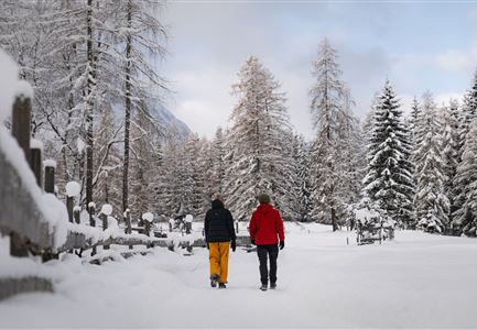
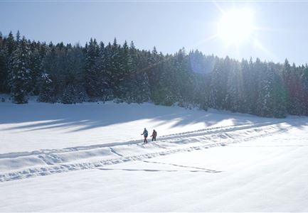
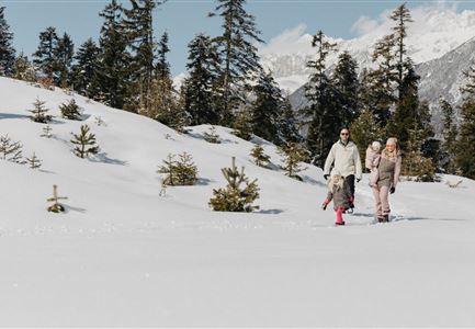
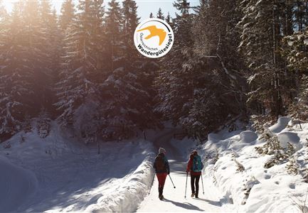
Never seen the breathtaking beauty of the Leutasch Valley? On Section 3 of the Seefeld High Plateau Winter Long-Distance Hike, you’ll experience it in all its glory.

Route: Bus stop "Schanz" - Achweg - Reindlau - Lehner - Ahrn - Polis Hütte - Weidach - Weidach Bridge - Achweg - Kirchplatzl Bridge - Weidachsee - Bus stop "Weidach Zentrum"

Description:
Section 3
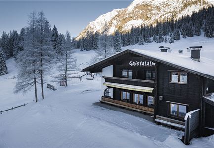
of the Seefeld High Plateau Winter Long-Distance Hike takes you on an exploration through the long, uniquely scenic hiking paradise of the Leutasch Valley. After arriving by bus from Seefeld, the journey starts from the bus stop "Schanz," taking you through the valley. Passing by Gasthaus Mühle, you’ll turn onto the long Achweg trail. This trail mostly follows the river through fields and woods, offering a peaceful walk where you can truly connect with nature.

You’ll reach civilization again in the Leutasch district of Reindlau. Cross the road near the campsite and follow it until you reach the end of the village. Here, the trail leaves the paved road and you can follow it until just before the district of Lehner. From there, cross to the other side of the valley. After crossing

Read More...

Similar Tour Suggestions

Weitwandern Etappe 2 Teilnehmer am Weg bei Huette

Hiking

1st Winter Long Distance Trail Section 2: From Leutasch to Mösern

Length

16,00 km

Duration

05:00 h

Uphill

402 hm

Downhill

324 hm

Altitude

1393 hm

Difficulty

Medium

Weidachsee im Winter

Hiking

W9: Winter circular hike around Weidachsee lake

Length

3,80 km

Duration

01:00 h

Uphill

46 hm

Altitude

1156 hm

Difficulty

Easy

W34 Kulturwanderweg Reith Unsere Frau - Leithen

Hiking

W34: Winter circular hike "culture path" Reith

Length

4,50 km

Duration

01:30 h

Uphill

112 hm

Altitude

1126 hm

Difficulty

Easy

Drohnenaufnahme Wettersteinhütte - Nahaufnahme mit Blick ins Wettersteingebirge (1).jpg

Hiking

1st Winter Long Distance Trail Section 3: From Mösern to the Wettersteinhütte

Length

14,00 km

Duration

06:00 h

Uphill

718 hm

Altitude

1719 hm

Difficulty

Medium

Leutasch - Winterwanderweg 15 Katzenloch-3.jpg

Hiking

Seefeld High Plateau Winter Long-Distance Hike Section 2: From Seefeld to Scharnitz

Length

12,37 km

Duration

03:30 h

Uphill

59 hm

Downhill

278 hm

Altitude

1182 hm

Difficulty

Easy

W4-Triendlsaege

Hiking

W4: Winter circular hike Seefeld - Triendlsäge

Length

6,80 km

Duration

02:15 h

Uphill

132 hm

Altitude

1195 hm

Difficulty

Easy

Blick auf Reith und Seefeld - Luftbild

Hiking

W2: Winter circular hike around the mountain Gschwandtkopf

Length

10,50 km

Duration

03:30 h

Uphill

226 hm

Downhill

222 hm

Altitude

1340 hm

Difficulty

Medium

Plaik

Hiking

W10: Winter hike through the Leutasch Valley

Length

13,20 km

Duration

03:45 h

Uphill

13 hm

Altitude

1174 hm

Difficulty

Easy